Functional temporarily unavailable
Novovidradne
Travel guide online Novovidradne
General information about Novovidradne
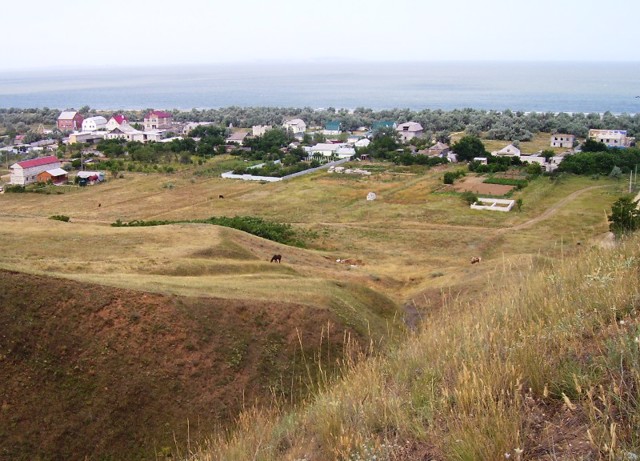
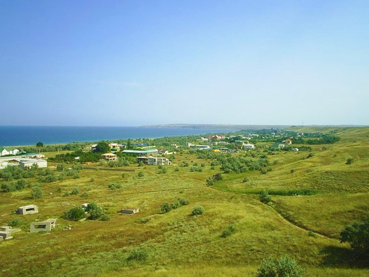
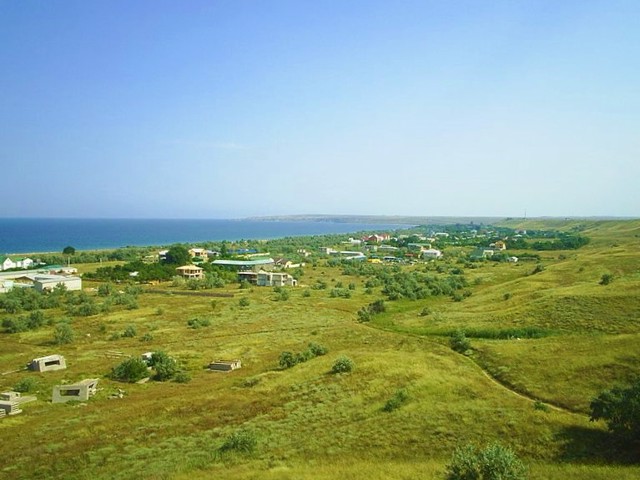
Novovidradne is the largest village on the shores of the Kazantip Bay of the Azov Sea. Stretched for several kilometers between the sea and a high cliff. Is administratively part of Kerch district of Autonomous Republic of Crimea.
A young quiet resort with deserted sandy beaches.
From here begins the Turkish Wall (also called the Akkos or Uzunlar Wall) of the Cimmerian times (I millennium BC), crossing the entire Kerch Peninsula from north to south for 42 km.
Near the northern end of the rampart, at the eastern outskirts of the village, there is an ancient Novovidradne estate (dates back to the 2nd century BC ...
Novovidradne is the largest village on the shores of the Kazantip Bay of the Azov Sea. Stretched for several kilometers between the sea and a high cliff. Is administratively part of Kerch district of Autonomous Republic of Crimea.
A young quiet resort with deserted sandy beaches.
From here begins the Turkish Wall (also called the Akkos or Uzunlar Wall) of the Cimmerian times (I millennium BC), crossing the entire Kerch Peninsula from north to south for 42 km.
Near the northern end of the rampart, at the eastern outskirts of the village, there is an ancient Novovidradne estate (dates back to the 2nd century BC - 3rd century AD, excavations are underway).
Нововідрадне - найбільше село на березі Казантипської затоки Азовського моря. Розтягнуте на кілька кілометрів між морем і високим урвищем. Адміністративно входить до складу Керченського району Автономної Республіки Крим.
Молодий тихий курорт з пустельними піщаними пляжами.
Звідси починається Турецький вал (також називається Аккосів або Узунларський вал) кіммерійських часів (I тисячоліття до нашої ери), що перетинає весь Керченський півострів з півночі на південь на 42 кілометри.
Поруч з північним краєм вала у східній околиці села знаходиться Нововідрадненська антична садиба (датується II століттям до нашої ери - III ст ...
Нововідрадне - найбільше село на березі Казантипської затоки Азовського моря. Розтягнуте на кілька кілометрів між морем і високим урвищем. Адміністративно входить до складу Керченського району Автономної Республіки Крим.
Молодий тихий курорт з пустельними піщаними пляжами.
Звідси починається Турецький вал (також називається Аккосів або Узунларський вал) кіммерійських часів (I тисячоліття до нашої ери), що перетинає весь Керченський півострів з півночі на південь на 42 кілометри.
Поруч з північним краєм вала у східній околиці села знаходиться Нововідрадненська антична садиба (датується II століттям до нашої ери - III століттям нашої ери, ведуться розкопки).
Сплануй своє перебування у Novovidradne
What to see and where to go in Novovidradne
Tourist attractions and museums of Novovidradne

Turkish Shaft
Castle / fortress
Turkish Shaft is the name of one of the oldest defensive structures on the territory of Ukraine.
According to the legend described by Herodotus, the earthen Shaft crossing the entire eastern edge of the Crimea was built by Scythian slaves who went on a long military campaign, fearing retribution for cohabiting with Scythian wives. The rampart was probably built by the Cimmerians, which is why experts call it the Cimmerian rampart (also Akkosiv or Uzunlarsky).
The length of the Turkish wall reached 32 kilometers, at the base was a stone embankment. It runs from the northwestern edge of the village of Novovidradne past the Kerch Reservoir, crosses the E-97 highway 3 kilometers from the village of Hornostaivka, descends past Lake Marfivske to Lake Uzunlarske.
From the northern edge of the Turkish Wall, a wonderful view of the village of Novovidradne and the coast of the Sea of Azov opens up.
Reviews Novovidradne
Geographical information about Novovidradne
| {{itemKey}} | {{itemValue}} |
|---|---|
| Region |
Autonomous Republic of Crimea |


