Functional temporarily unavailable
Novoukrainka
Travel guide online Novoukrainka
General information about Novoukrainka
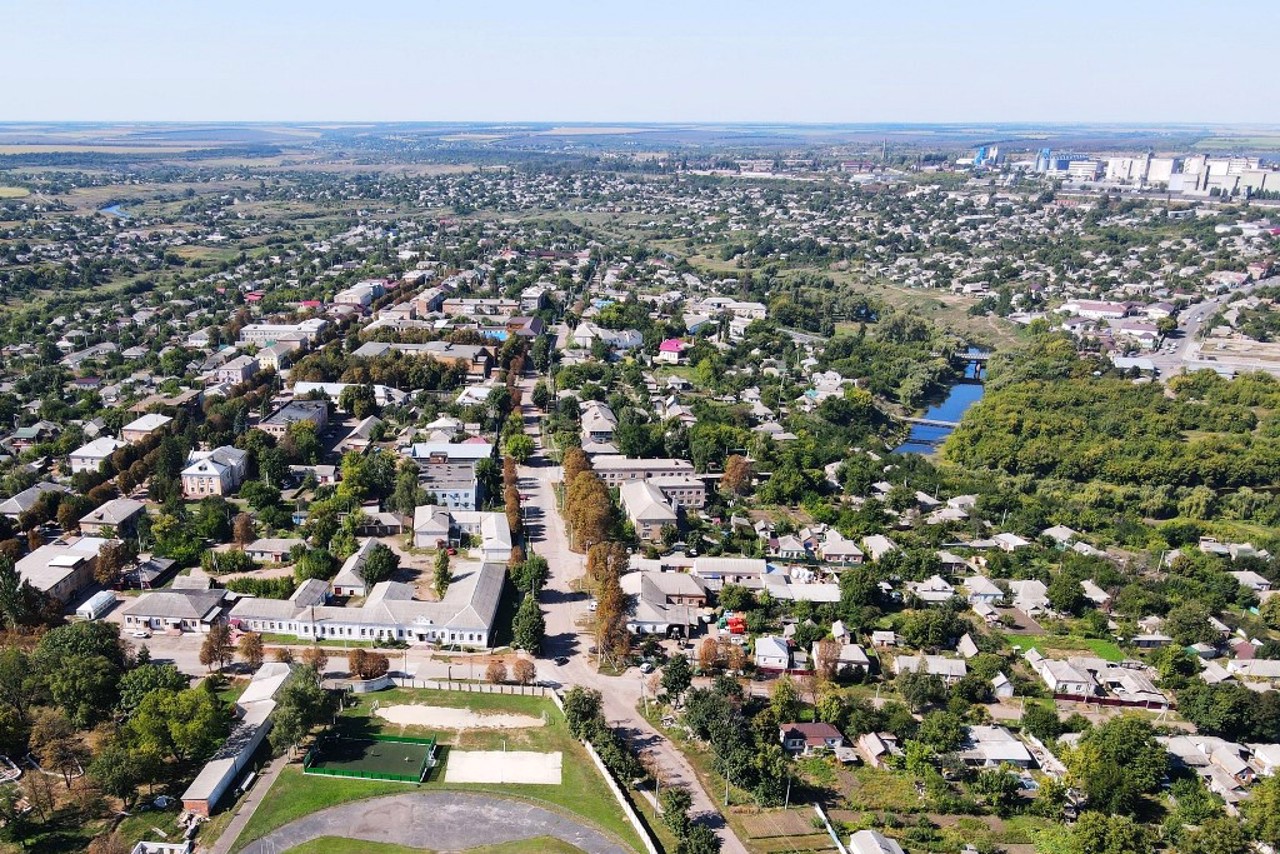
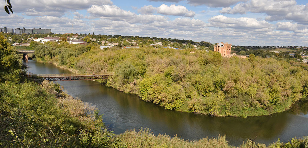
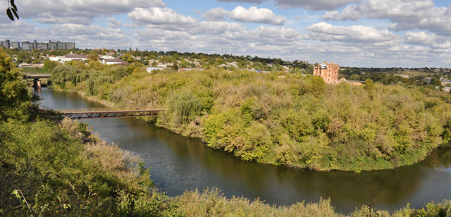
The city of Novoukrainka on the Black Tashlyk River is located 65 kilometers southeast of Kropyvnytskyi. It is the administrative center of the Novoukrainka district of the Kirovohrad region.
The settlement on the Cossack lands of Wild Field at the confluence of the Pomichna and Hruzka rivers in Chorniy Tashlyk was founded in 1770 as a Pavlivsky redoubt (earthen fortress), which became the regimental center of the Moldavian hussar regiment. The name comes from the name of the apostle Paul, who is the patron saint of the city. In a few years, the settlement received the name Novopavlivsk, the status of a trade post and district center. In the first half of the 19th century, a squadron of the First Ukrainian Lancer Regiment was based here, which is why this military settlement was r ...
The city of Novoukrainka on the Black Tashlyk River is located 65 kilometers southeast of Kropyvnytskyi. It is the administrative center of the Novoukrainka district of the Kirovohrad region.
The settlement on the Cossack lands of Wild Field at the confluence of the Pomichna and Hruzka rivers in Chorniy Tashlyk was founded in 1770 as a Pavlivsky redoubt (earthen fortress), which became the regimental center of the Moldavian hussar regiment. The name comes from the name of the apostle Paul, who is the patron saint of the city. In a few years, the settlement received the name Novopavlivsk, the status of a trade post and district center. In the first half of the 19th century, a squadron of the First Ukrainian Lancer Regiment was based here, which is why this military settlement was renamed Novoukrainka.
Thanks to its location at the crossroads of land routes leading from Podillya and Kyiv region to the Black Sea region, Novoukrainka became an important commercial, administrative and industrial center of this agrarian region. Economic development was accelerated by the opening in 1869 of the "Novoukrainka" station on the newly built Odesa-Kremenchuk railway. In 1938, Novoukrainka received the status of a city.
The Holodomor of 1932-1933 claimed the lives of a significant number of residents of the Novoukrainka district, but the exact number of victims is still unknown (a monument was consecrated in 2003). During the Second World War, the Nazis organized a mass shooting of Jews and Gypsies in the city. More than 10,000 prisoners of war died of wounds, hunger, cold, and disease at the Adabash station in the concentration camp.
In 2014, a memorial sign was erected to the Heroes of the Heavenly Hundred and an Alley of Heroes was laid in honor of the participants of the Russian-Ukrainian War.
Місто Новоукраїнка на річці Чорний Ташлик розташоване за 65 кілометрів на південний схід від Кропивницького. Є адміністративним центром Новоукраїнського району Кіровоградської області.
Поселення на козацьких землях Дикого Поля при впадінні річок Помічної і Грузької у Чорний Ташлик засноване у 1770 році як Павлівський редут (земляна фортеця), що став полковим центром Молдавського гусарського полку. Назва походить від імені апостола Павла, який є покровителем міста. За кілька років поселення отримало назву Новопавлівськ, статус посаду і повітового центру. У першій половині XIX століття тут базувався ескадрон Першого Українського уланського полку, у зв'язку з чим це військове поселення було перейменоване на Новоукраїнку.
Завдяки розташуванню на перехресті сухопутних шляхів, ...
Місто Новоукраїнка на річці Чорний Ташлик розташоване за 65 кілометрів на південний схід від Кропивницького. Є адміністративним центром Новоукраїнського району Кіровоградської області.
Поселення на козацьких землях Дикого Поля при впадінні річок Помічної і Грузької у Чорний Ташлик засноване у 1770 році як Павлівський редут (земляна фортеця), що став полковим центром Молдавського гусарського полку. Назва походить від імені апостола Павла, який є покровителем міста. За кілька років поселення отримало назву Новопавлівськ, статус посаду і повітового центру. У першій половині XIX століття тут базувався ескадрон Першого Українського уланського полку, у зв'язку з чим це військове поселення було перейменоване на Новоукраїнку.
Завдяки розташуванню на перехресті сухопутних шляхів, які ведуть із Поділля та Київщини до Причорномор'я, Новоукраїнка стала важливим торгово-адміністративним та промисловим центром цього аграрного регіону. Економічний розвиток прискорило відкриття у 1869 році станції "Новоукраїнка" на новозбудованій залізниці Одеса – Кременчук. У 1938 році Новоукраїнка отримала статус міста.
Голодомор 1932-1933 років забрав життя значної кількості мешканців Новоукраїнського району, але точна кількість жертв досі не відома (у 2003 році освячено пам’ятник). Під час Другої світової війни нацисти організували в місті масовий розстріл євреїв і циган. На станції "Адабаш" у концентраційному таборі від ран, голоду, холоду і хвороб померло понад 10 тисяч військовополонених.
У 2014 споруджено пам’ятний знак Героям Небесної сотні та закладено Алею героїв на честь учасників російсько-української війни.
Сплануй своє перебування у Novoukrainka
What to see and where to go in Novoukrainka
Tourist attractions and museums of Novoukrainka
Novoukrainka City Local Lore Museum
Museum / gallery
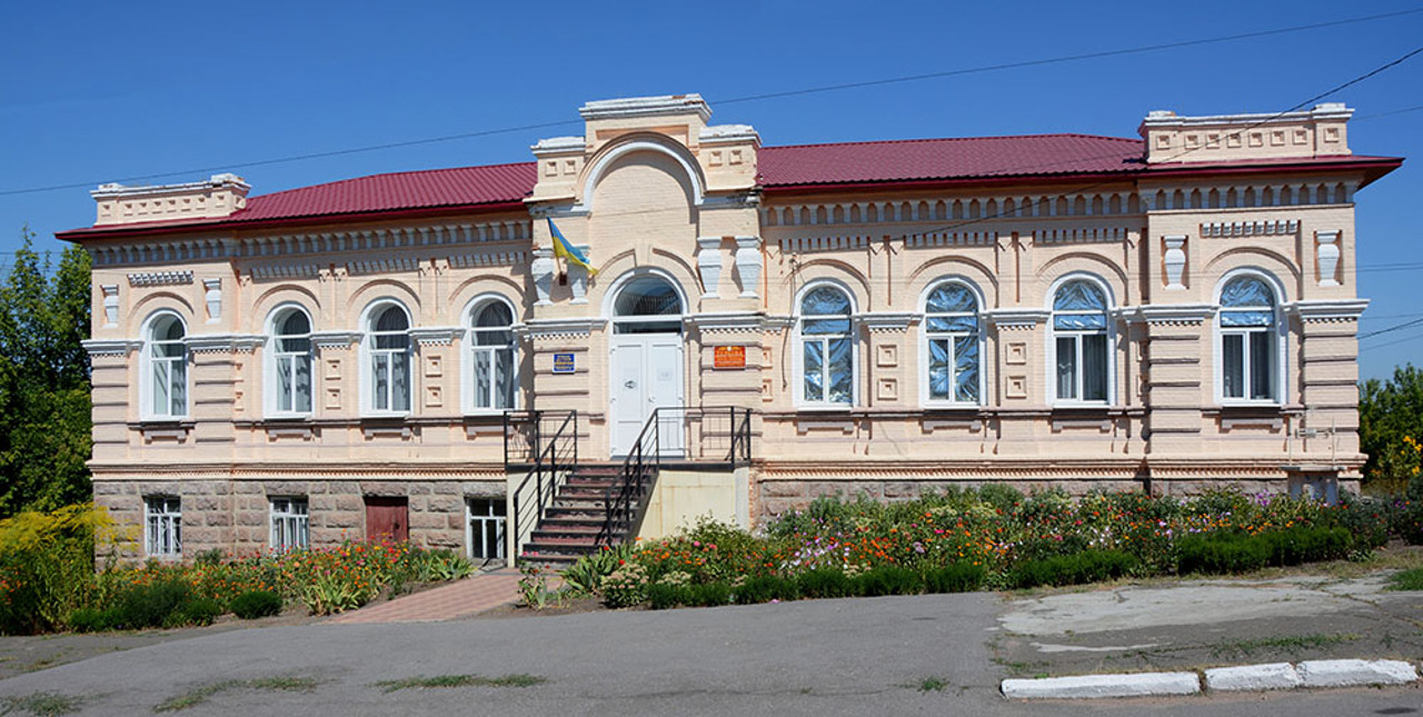
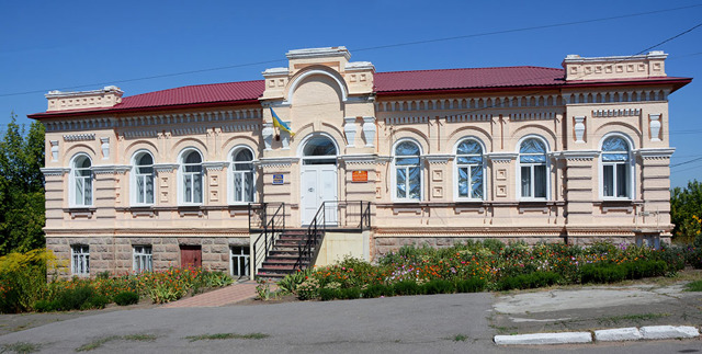
The City Local Lore Museum of Novoukrainka is located on the second floor of the Central of Palace Culture "Yuvileyniy". Founded in 1972.
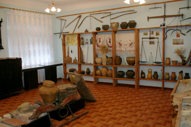
In four exhibition halls, the history of Novoukrainka and the surrounding territories is represented from ancient times to the present day. In particular, artifacts of ancient archaeological cultures found on the territory of the city, materials about the agricultural colonization of these lands and the development of the economy in pre-revolutionary times, household items and tools of the XIX - early XX centuries, equipment and weapons of the Second World War and the modern Russian-Ukrainian war are presented.
A significant place in the exposition is devoted to the work of folk craftsmen and craftsmen of the region: embroidery, wood carving, visual arts, wood and metal products.
Novoukrainka on photo and video
Reviews Novoukrainka
Geographical information about Novoukrainka
| {{itemKey}} | {{itemValue}} |
|---|---|
| Region |
Kirovohrad |
