Functional temporarily unavailable
General information about Karapyshi
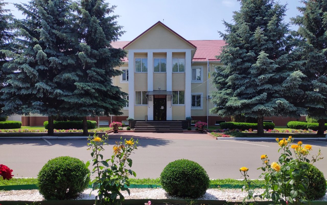
The large Porossian village of Karapyshi on the Rasavka River is located 60 kilometers east of Bila Tserkva, between Myronivka and Rokytne. Administratively, it is a part of the Myronivka city hromada, Obukhiv district, Kyiv region.
The establishment of the village in the middle of the 11th century is connected with the creation of the Ros River area defensive line (Porossia) by the Kyiv prince Yaroslav the Wise to protect against the Polovtsy and the settlement of the border lands by the Turko-speaking tribes of the black klobuks. The name of the village is of Turkic origin ("kara" - black, "pysh/bysh/bash" - head) and may be related to the surname or nickname of the founder.
On the map of the famous cartographer Guillaume de Beauplan in 1650, Karapyshi ...
The large Porossian village of Karapyshi on the Rasavka River is located 60 kilometers east of Bila Tserkva, between Myronivka and Rokytne. Administratively, it is a part of the Myronivka city hromada, Obukhiv district, Kyiv region.
The establishment of the village in the middle of the 11th century is connected with the creation of the Ros River area defensive line (Porossia) by the Kyiv prince Yaroslav the Wise to protect against the Polovtsy and the settlement of the border lands by the Turko-speaking tribes of the black klobuks. The name of the village is of Turkic origin ("kara" - black, "pysh/bysh/bash" - head) and may be related to the surname or nickname of the founder.
On the map of the famous cartographer Guillaume de Beauplan in 1650, Karapyshi is marked as a significant settlement of great economic and administrative importance. In the 18th and 19th centuries, these lands belonged to Lubomirski, Rzewuski, and Branicki.
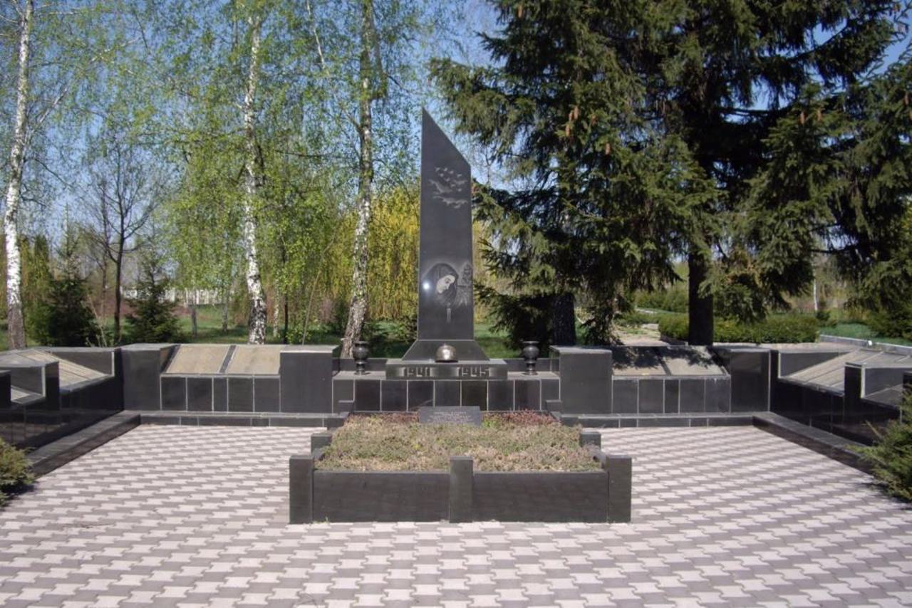
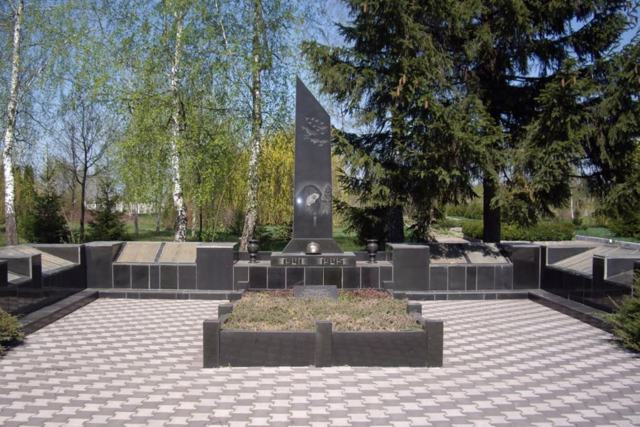
During the events of the Ukrainian Revolution, Cossack detachments of Green Ataman operated on the territory of the village. Many wealthy peasants were repressed during collectivization. As a result of the artificial famine organized by the Bolsheviks in 1932-1933, 2,113 people died in Karapyshi (a memorial cross was installed in the central village cemetery). A memorial was erected in honor of 514 fellow villagers who died during the Second World War.
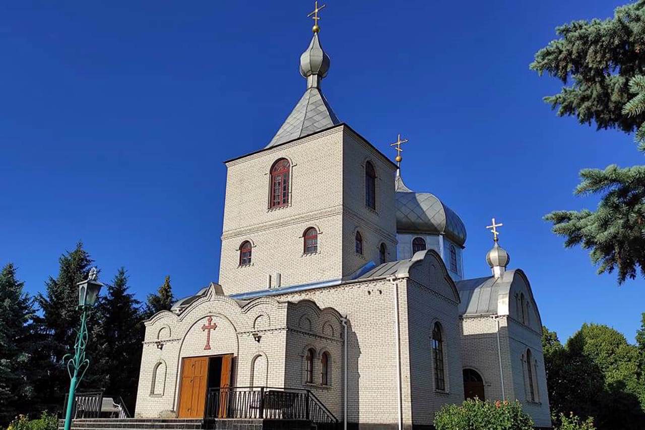
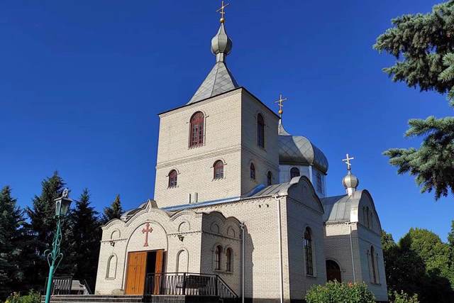
The modern wooden Church of the Nativity of the Holy Mother of God of the OCU was built on the site of the ancient church of the same name, which was founded back in 1745.
Велике пороське село Карапиші на річці Расавці розташоване за 60 кілометрів на схід від Білої Церкви, між Миронівкою та Рокитним. Адміністративно входить до складу Миронівської міської громади Обухівського району Київської області.
Заснування села у середині XI століття пов'язане зі створенням київським князем Ярославом Мудрим Пороської оборонної лінії для захисту від половців та заселенням прикордонних земель тюркомовними племенами чорних клобуків. Назва села має тюркське походження ("кара" – чорний, "пиш/биш/баш" – голова) і може бути пов'язане з прізвищем або прізвиськом засновника.
На мапі відомого картографа Гійома де Боплан 1650 року Карапиші позначені як значне поселення, що має велике економічне та адміністративне значення. У X ...
Велике пороське село Карапиші на річці Расавці розташоване за 60 кілометрів на схід від Білої Церкви, між Миронівкою та Рокитним. Адміністративно входить до складу Миронівської міської громади Обухівського району Київської області.
Заснування села у середині XI століття пов'язане зі створенням київським князем Ярославом Мудрим Пороської оборонної лінії для захисту від половців та заселенням прикордонних земель тюркомовними племенами чорних клобуків. Назва села має тюркське походження ("кара" – чорний, "пиш/биш/баш" – голова) і може бути пов'язане з прізвищем або прізвиськом засновника.
На мапі відомого картографа Гійома де Боплан 1650 року Карапиші позначені як значне поселення, що має велике економічне та адміністративне значення. У XVIII-XIX століттях ці землі належали Любомирським, Жевуським, Браницьким.
Під час подій Української революції на території села діяли загони козаків отамана Зеленого. Багато заможних селян було репресовано під час колективізації. Внаслідок влаштованого більшовиками штучного голоду 1932-1933 років у Карапишах померло 2113 осіб (на центральному сільському цвинтарі встановлено пам'ятний хрест). На честь 514 односельців, які загинули під час Другої світової війни, споруджено меморіал.
Сучасна дерев'яна церква Різдва Пресвятої Богородиці ПЦУ зведена на місці давнього однойменного храму, що був закладений ще у 1745 році.
Сплануй своє перебування у Karapyshi
What to see and where to go in Karapyshi
Tourist attractions and museums of Karapyshi
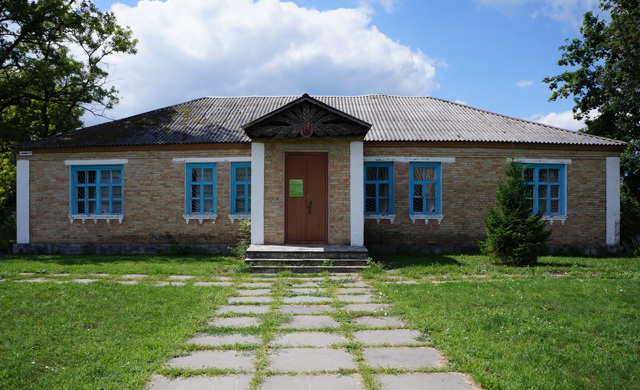
Karapyshi Village Historical and Local Lore Museum
Museum / gallery
The Karapyshi Village Historical and Local Lore Museum was founded in 1984 on the initiative of local activists-historians Oleksiy Hura and Mykhaylo Peretyatko. They were helped by their fellow villagers in collecting local material.
The exposition in five halls tells about the history of the village of Karapyshi from the earliest records to the present day, as well as about the culture and lifestyle of its inhabitants.
In particular, the "Certificate of Settlements" signed on April 25, 1896, when Karapyshi belonged to the Kyiv Governorate of Kaniv County, is presented. Also on display are samples of men's and women's clothing of the beginning of the 20th century, an ancient loom and other tools, peasant household items, and weapons from the Second World War.
Karapyshi on photo and video
Reviews Karapyshi
Geographical information about Karapyshi
| {{itemKey}} | {{itemValue}} |
|---|---|
| Region |
Kyiv |
