Functional temporarily unavailable
Settlements
Kyiv region
Cities and villages of
Kyiv
region
Online travel guide to the settlements of
Kyiv
region

Districts of Kyiv region
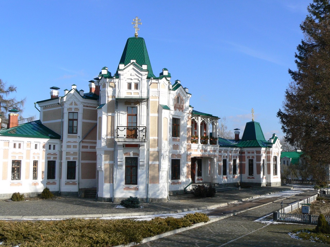
Bila Tserkva district
Bila Tserkva district (Bilotserkivskyi) is located in the southern part of Kyiv region, on the historical and ethnographic territory of the Middle Dnipro. The rivers Ros and Hirsky Tikych flow within the district.
There are such historical and cultural monuments as the State Dendrological Park "Oleksandriya", the Church of St. John the Baptist, the Church of ... Read more
Bila Tserkva district (Bilotserkivskyi) is located in the southern part of Kyiv region, on the historical and ethnographic territory of the Middle Dnipro. The rivers Ros and Hirsky Tikych flow within the district.
There are such historical and cultural monuments as the State Dendrological Park "Oleksandriya", the Church of St. John the Baptist, the Church of the Intercession with mosaics by Nicholas Roerich, the Church of St. Eugene and the landscape park in Buki.
The administrative center of Bilotserkivskyi district is the city of Bila Tserkva. The area of the district is 6513 square kilometers. The population of the district reaches 443 thousand people.
The Bila Tserkva district includes 302 settlements, which are united in 13 territorial hromadas: Bilotserkivska, Skvyrska, Tarashchanska, Tetiivska and Uzynska city hromadas, Volodarska, Hrebinkivska, Rokytnianska and Stavyshchenska settlement hromadas, Kovalivska, Malovilshanska, Medvynska and Fursivska village territorial hromadas.
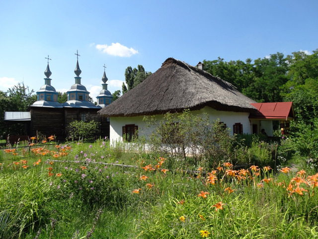
Boryspil district
Boryspil district (Boryspilskyi) is located in the eastern part of Kyiv region, in the historical and ethnographic territory of the Middle Dnipro. On the south-western side it is washed by the waters of the Kaniv Reservoir on the Dnipro River.
The nature of the coastal zones south of Pereiaslav is protected by the Biloozersky National Nature Park. The Trubizh and Supiy... Read more
Boryspil district (Boryspilskyi) is located in the eastern part of Kyiv region, in the historical and ethnographic territory of the Middle Dnipro. On the south-western side it is washed by the waters of the Kaniv Reservoir on the Dnipro River.
The nature of the coastal zones south of Pereiaslav is protected by the Biloozersky National Nature Park. The Trubizh and Supiy rivers also flow within the district. There are such historical and cultural monuments as the National Historical and Ethnographic Reserve "Pereiaslav", the Palace and Park Complex of the Rozumovsky-Repniny in Yahotyn, the Church of the Intercession in Sulymivka, the landscape reserve "Chubynsky Farm".
The administrative center of Boryspilskyi district is the city of Boryspil, near which is the international airport "Boryspil", which is one of the transit hubs of Eastern Europe. The area of the district is almost 3875 square kilometers. The population of the district exceeds 200 thousand people.
Boryspil district includes 140 settlements, which are united into 11 territorial hromadas: Boryspilska, Pereiaslavska and Yahotynska city hromadas, Voronkivska, Hirska, Divychkivska, Zolochivska, Prystolychna, Studenykivska, Tashanska and Tsyblivska village territorial hromadas.
Brovary district
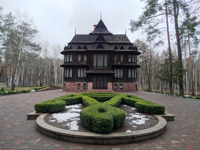
Brovary district (Brovarskyi) is located in the eastern part of Kyiv region, in the historical and ethnographic territory of the Middle Dnipro. The rivers Desna, Trubizh and Supiy flow within the district. Here is the National Nature Park "Zalissya" with the eponymous state residence on the territory, Usivsky hydrological reserve of national importance.
The a... Read more
Brovary district (Brovarskyi) is located in the eastern part of Kyiv region, in the historical and ethnographic territory of the Middle Dnipro. The rivers Desna, Trubizh and Supiy flow within the district. Here is the National Nature Park "Zalissya" with the eponymous state residence on the territory, Usivsky hydrological reserve of national importance.
The administrative center of Brovarskyi district is the city of Brovary. The area of the district is more than 2883 square kilometers. The population of the district exceeds 240 thousand people.
The Brovary district consists of 125 settlements, which are united into 8 territorial hromadas: Berezanska and Brovarska city hromadas, Baryshivska, Velykodymerska, Zghurivska, Kalynivska and Kalytianska settlement hromadas, Zazymska village territorial hromadas.
Bucha district
Bucha district (Buchanskyi) is located in the western part of Kyiv region, on the border of historical and geographical territories of Kyiv Polissya and Middle Dnipro. The rivers Bucha and Irpin flow within the district.
An oak forest in the Babka tract near Klavdiyevo-Tarasovo is a natural monument of national importance.
Once to the north-west of Kyiv were the ... Read more
Bucha district (Buchanskyi) is located in the western part of Kyiv region, on the border of historical and geographical territories of Kyiv Polissya and Middle Dnipro. The rivers Bucha and Irpin flow within the district.
An oak forest in the Babka tract near Klavdiyevo-Tarasovo is a natural monument of national importance.
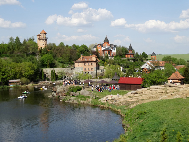
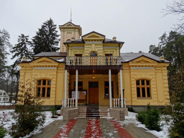
Once to the north-west of Kyiv were the suburban suburbs of Kyiv, which now formed a large suburban agglomeration. Preserved such historical and cultural monuments as the Cultural Center "Uvarivsky House" in Vorzel, Chokolov's dacha on the territory of the House of Writers "Irpin", the estate of the Strain in Bucha. Bucha City Park is considered one of the best in Kyiv region. On the eve of the new year, excursions to the Klavdiyivka Christmas tree decoration factory are popular. In the Makariv area, tourists are received by the ethnographic complex "Ukrainian Village", private landscape park "Dobropark", ostrich farm "Valley of Ostriches" in Yasnohorodka.
The administrative center of Buchanskyi district is the city of Bucha. The area of the district is almost 1545 square kilometers. The population of the district reaches 340 thousand people.
Bucha district includes 141 settlements. They are united into 12 territorial hromadas: Buchanska, Vyshneva and Irpinska city hromadas, Borodianska, Hostomelska, Kotsiubynska, Makarivska, Nemishaivska and Piskivska settlement hromadas, Bilohorodska, Borshchahivska and Dmytrivska village Bucha district includes 141 settlements. They are united into 12 territorial hromadas: Buchanska, Vyshneva and Irpinska city hromadas, Borodianska, Hostomelska, Kotsiubynska, Makarivska, Nemishaivska and Piskivska settlement hromadas, Bilohorodska, Borshchahivska and Dmytrivska village hromadas hromadas.
Fastiv district
Fastiv district (Fastivskyi) is located in the central part of Kyiv region, on the historical and ethnographic territory of the Middle Dnipro. The Irpin and Unava rivers flow within the district.
There are such historical and cultural monuments as the Fastiv Church of the Exaltation of the Holy Cross, the Wooden Church of the Intercession and the Museum-Carriage of the... Read more
Fastiv district (Fastivskyi) is located in the central part of Kyiv region, on the historical and ethnographic territory of the Middle Dnipro. The Irpin and Unava rivers flow within the district.
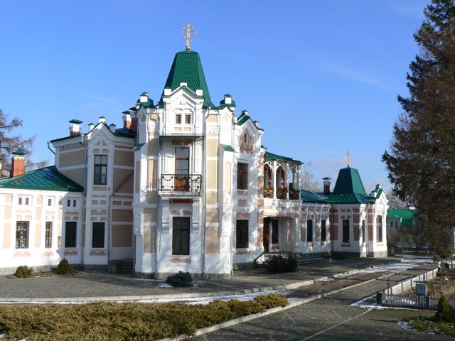
There are such historical and cultural monuments as the Fastiv Church of the Exaltation of the Holy Cross, the Wooden Church of the Intercession and the Museum-Carriage of the UPR and ZUNR in Fastiv, the Khoyetsky Estate (Rizopolozhensky Monastery) in Tomashivka, the manor houses-museums of Mykola Pymonenko and Kyrylo Stetsenko.
The administrative center of Fastivskyi district is the city of Fastiv. The area of the district is 2887 square kilometers. The population of the district reaches 180 thousand people.
The Fastiv district includes 109 settlements, which are united into 9 territorial hromadas: Boyarska and Fastivska city hromadas, Kalynivska, Kozhanska, Hlevakhivska and Chabanivska settlement hromadas, Byshivska, Hatnenska and Tomashivska village territorial hromadas.
Obukhiv district
Obukhiv district (Obukhivskyi) is located in the central part of Kyiv region, on the historical and ethnographic territory of the Middle Dnipro. The north-eastern border of the district runs along the Dnipro River.
The Stuhna and Ros rivers also flow within the district, on the banks of which the Bohuslavl Regional Landscape Park with outcrops of Bohuslav granites is l... Read more
Obukhiv district (Obukhivskyi) is located in the central part of Kyiv region, on the historical and ethnographic territory of the Middle Dnipro. The north-eastern border of the district runs along the Dnipro River.
The Stuhna and Ros rivers also flow within the district, on the banks of which the Bohuslavl Regional Landscape Park with outcrops of Bohuslav granites is located. Kaharlyk Park is a monument of garden and park art.
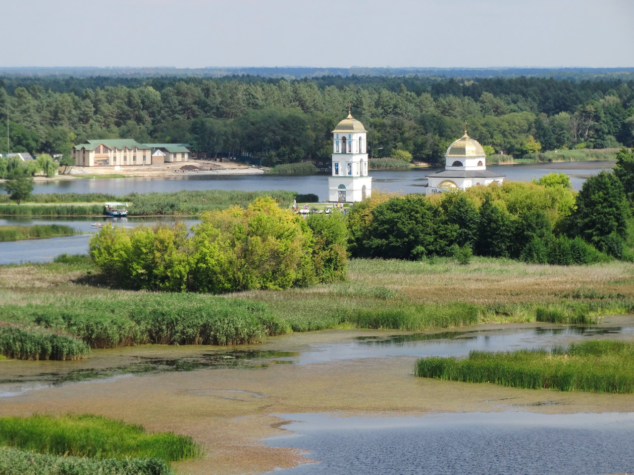
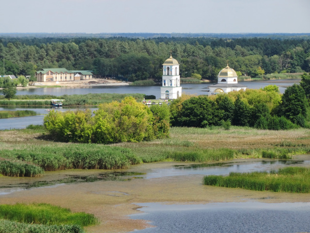
Along the high right bank of the Dnipro there are many archeological monuments and observation decks in the villages of Trypillya, Vytachiv, Stayky. The Kyiv Regional Archaeological Museum with a collection of artifacts of Trypillia culture operates in Trypillia. The tourist route in Rzhyshchiv with a river walk to the Church of the Transfiguration on the water and to the National Museum-Memorial Complex "Bukrynsky Bridgehead" is popular.
The administrative center of Obukhivskyi district is the city of Obukhiv, near which is the Center of Culture and History "Park Kyivan Rus". The area of the district is more than 3526 square kilometers. The population of the district reaches 230 thousand people.
Obukhiv district includes 200 settlements, which are united into 9 territorial hromadas: Bohuslavska, Vasylkivska, Kaharlytska, Myronivska, Obukhivska, Rzhyshchivska and Ukrainska city hromadas, Kozynska settlement hromada and Feodosiivska village territorial hromadas.
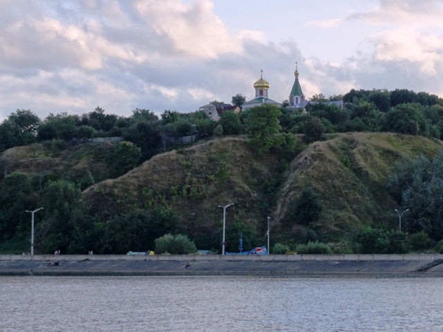
Vyshhorod district
Vyshhorod district (Vyshhorodskyi) is located in the northern part of Kyiv region, on the historical and ethnographic territory of Kyiv Polissya. The territory of the district is crossed by the Dnipro River, which forms the Kyiv Reservoir, and the Pripyat River.
A large part of the district's territory is a closed exclusion zone of the Chornobyl NPP, within which t... Read more
Vyshhorod district (Vyshhorodskyi) is located in the northern part of Kyiv region, on the historical and ethnographic territory of Kyiv Polissya. The territory of the district is crossed by the Dnipro River, which forms the Kyiv Reservoir, and the Pripyat River.
A large part of the district's territory is a closed exclusion zone of the Chornobyl NPP, within which the Chornobyl Radiation and Ecological Biosphere Reserve operates and excursions are conducted.
The administrative center of Vyshhorodskyi district is the city of Vyshhorod, known since ancient times, which is now a satellite city of Kyiv HPP. The Vyshhorod Historical and Cultural Reserve includes the remains of a child of the Vyshhorod settlement with the Borisohlebska Church, an interactive Museum of Pottery and an exposition of the Historical Museum. Vyshhorod embankment is a popular recreation area.
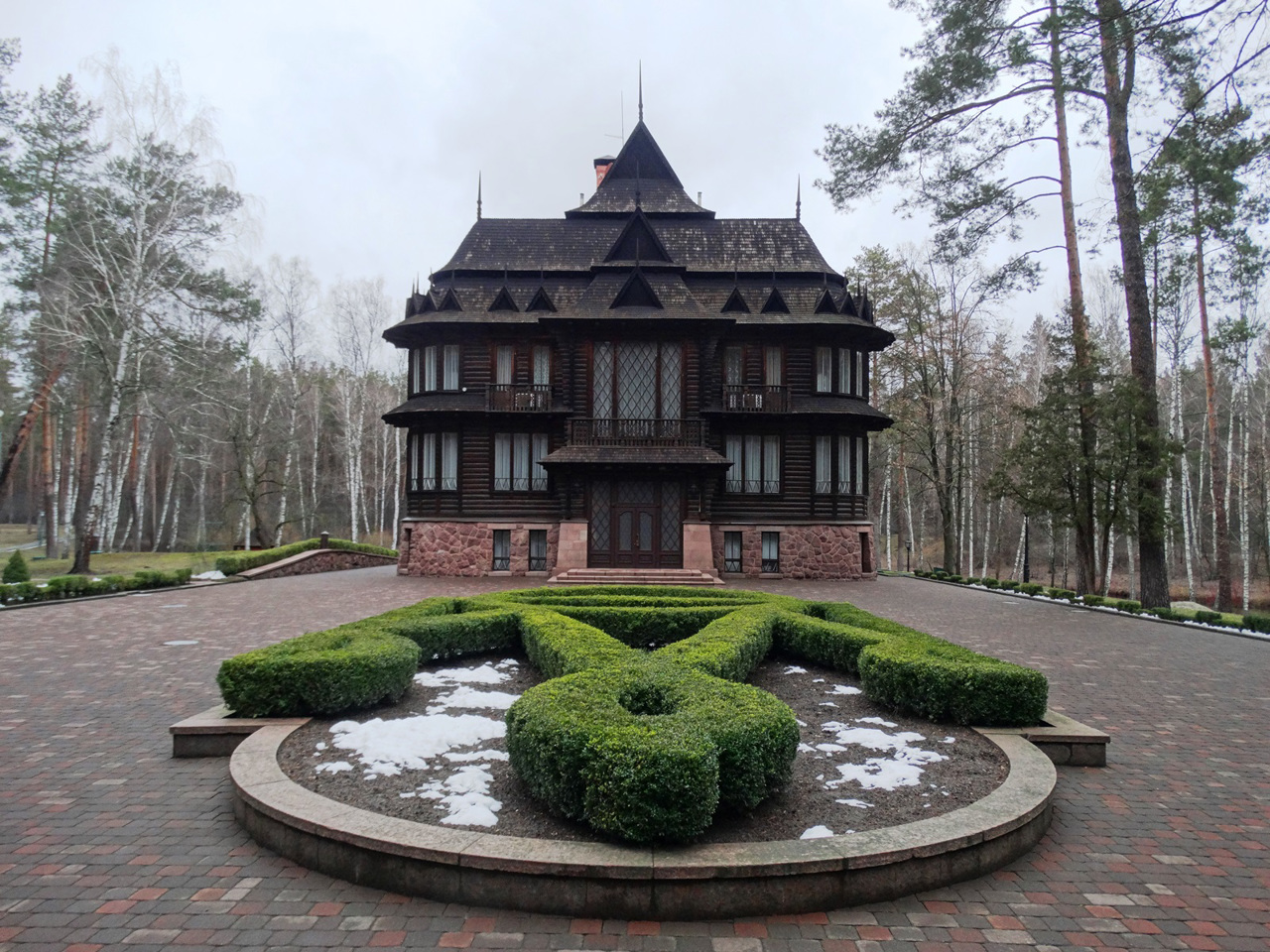
Also located in the district are the former government residences "Mezhyhirya" and "Sukholuchcha", which are now open to the public, the National Museum "Battle of Kyiv in 1943" on the site of the Lutsk bridgehead, a private zoo "XII months".
The area of the district is more than 6913 square kilometers. The population of the district reaches 130 thousand people.
Vyshhorod district includes 163 settlements, which are united into 7 territorial hromadas: Vyshhorodska and Slavutytska city hromadas, Dymerska, Ivankivska and Poliska settlement hromadas, Petrivska and Pirnivska village territorial hromadas.
