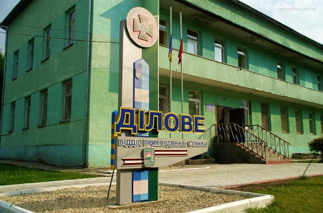
Functional temporarily unavailable
General information about Dilove
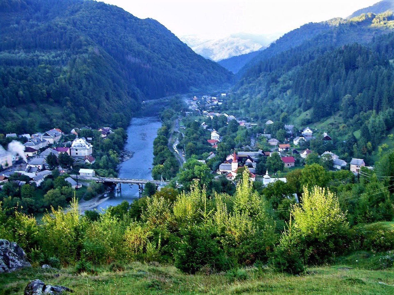
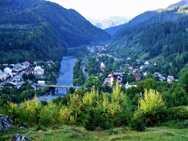
The village of Dilove is located 20 kilometers south of Rakhiv, on the banks of the Tysa River, near the Ukrainian-Romanian border. Known since the 18th century as Tribushany, the center of iron ore mining.
Assumption Church from 1750 has been preserved.
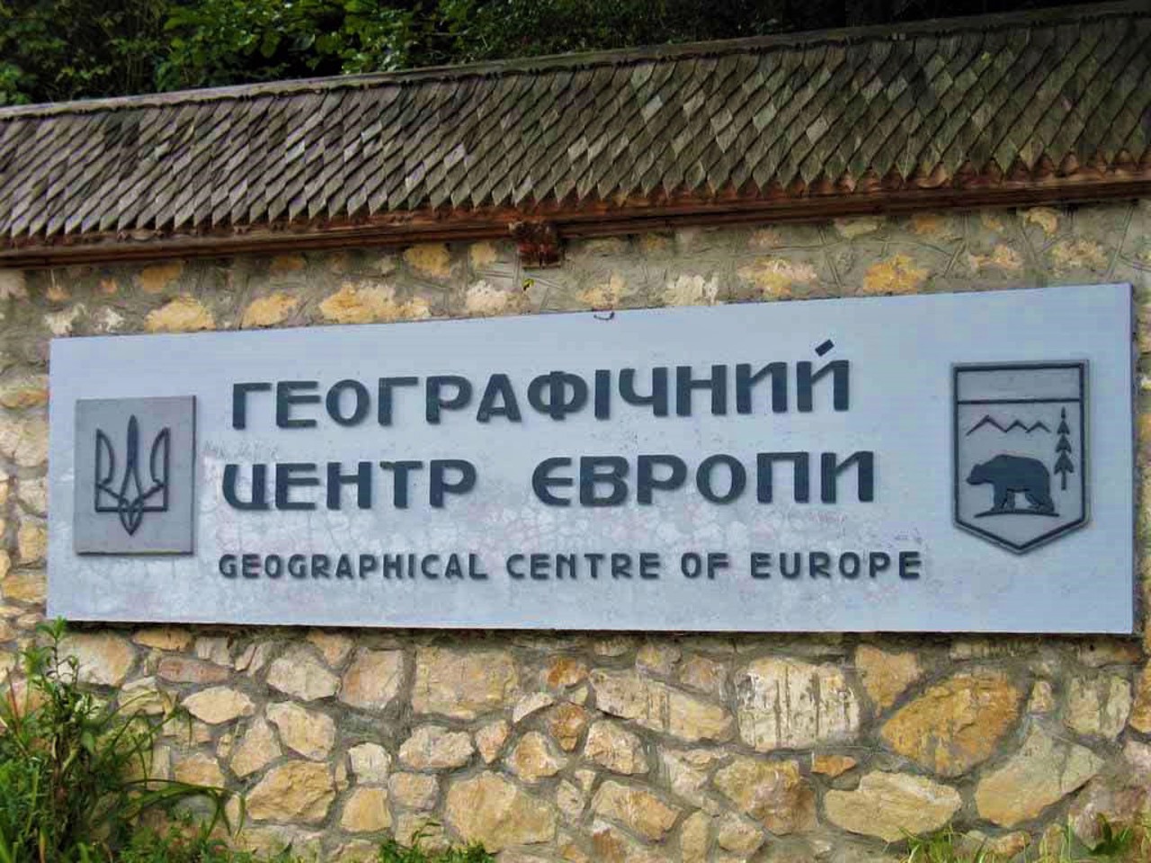
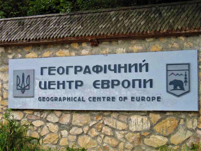
The geographical center of continental Europe is located here. A geodetic sign indicating this, installed here in 1887, constantly attracts tourists.
The tourist route to Mount Pip Ivan begins from here.
Село Ділове розташоване в 20 кілометрах на південь від Рахова, на березі річки Тиса, біля українсько-румунського кордону. Відоме з XVIII сторіччя як Трібушани, центр видобутку залізної руди.
Збереглася Успенська церква 1750 року.
Тут знаходиться географічний центр континентальної Європи. Геодезичний знак, що свідчить про це, встановлено тут в 1887 році, постійно приваблює туристів.
Звідси починається туристичний маршрут на гору Піп Іван.
Сплануй своє перебування у Dilove
What to see and where to go in Dilove
Tourist attractions and museums of Dilove
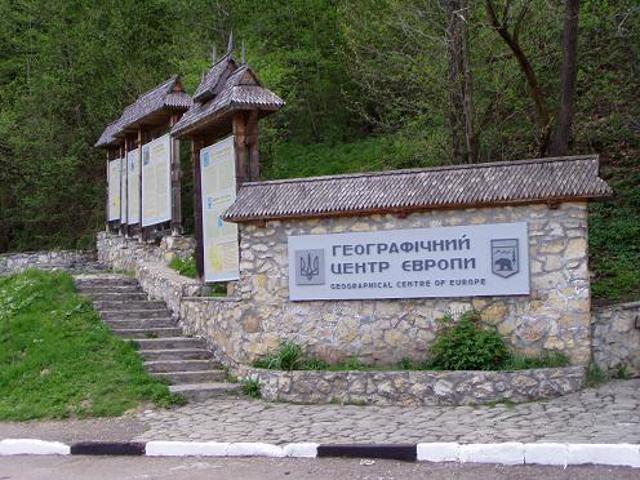
Geographical Center of Europe
Museum / gallery , Historic area
The geographic center of continental Europe was calculated and marked in the village of Dilove, in the Rahiv district, by Hungarian surveyors in 1887.
A two-meter concrete geodesic sign in the form of a truncated four-sided pyramid was installed here. On the rectangular pedestal is carved in Latin: "Permanent, exact, eternal place. Very precisely, with the help of a special device made in Austria-Hungary, according to the scale of meridians and parallels, the Center of Europe is determined here. 1887."
Subsequently, the calculations of Hungarian surveyors were repeatedly denied by scientists from other countries, but they remain generally recognized.
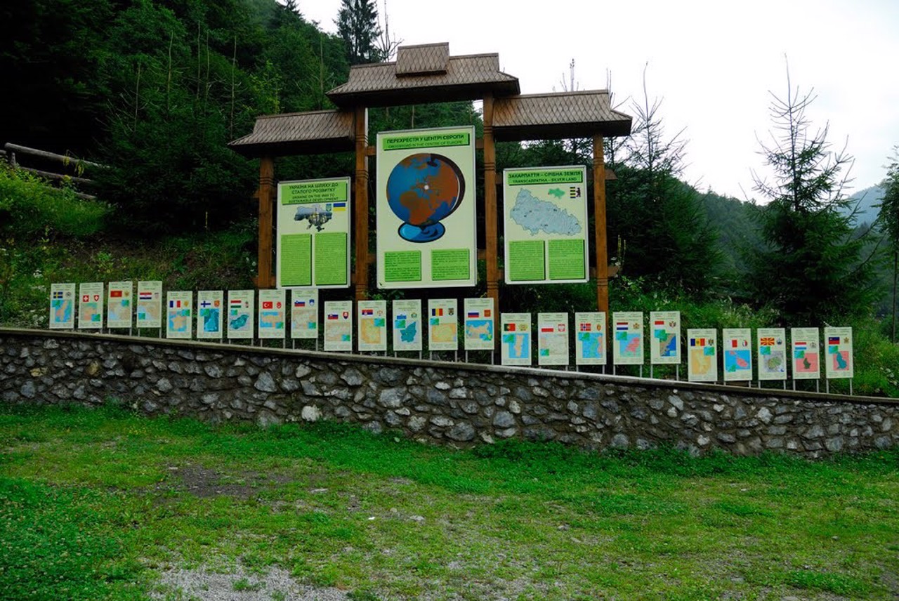
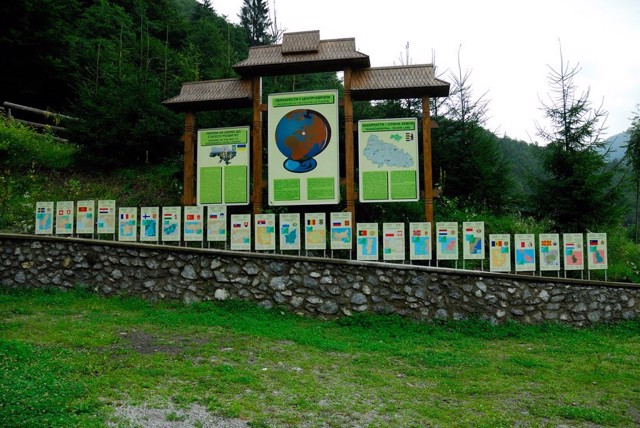
In Soviet times, a new 7.2-meter-high stele was installed nearby. In 2005, the Alley of European Flags appeared next to the stele, emphasizing the symbolism of this place. The hut-museum presents a collection of authentic Hutsul household items.
In 2010, an ecological and educational center with a museum of nature and culture of the Carpathians was opened, for which a two-story wooden house in the Hutsul style was built. The ecological and cultural recreation complex "Geographical Center of Europe" is a branch of the Carpathian Biosphere Reserve.
Reviews Dilove
Geographical information about Dilove
| {{itemKey}} | {{itemValue}} |
|---|---|
| Region |
Zakarpattia |
