Functional temporarily unavailable
General information about Rakhiv
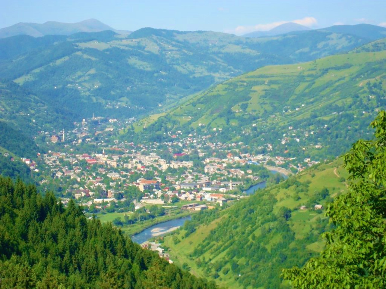
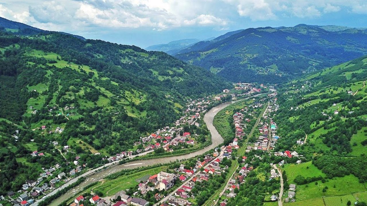
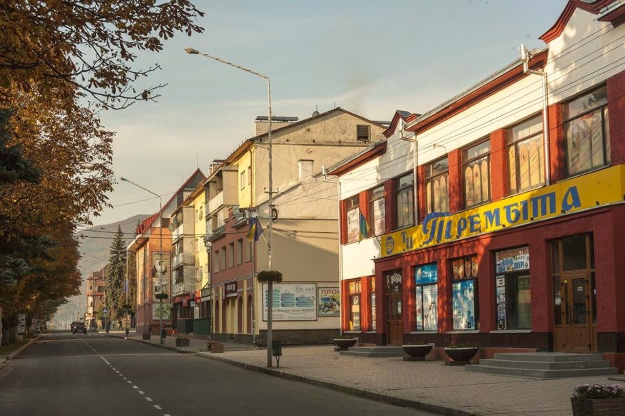
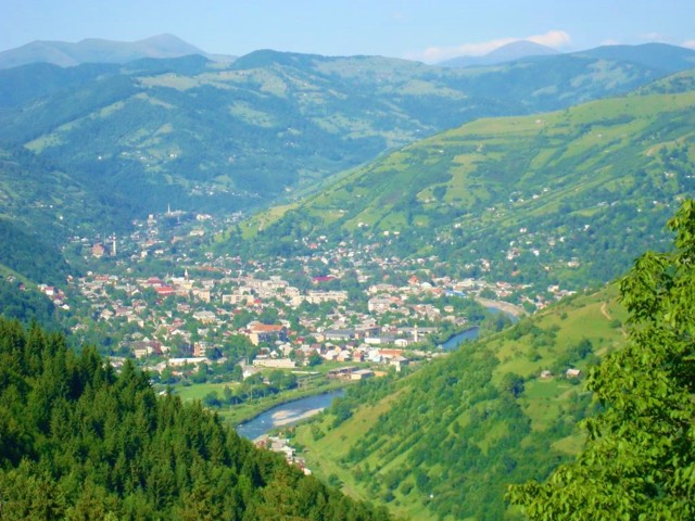
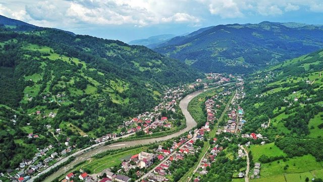
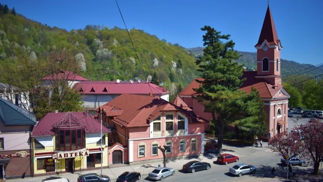
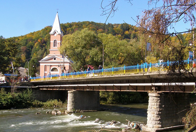
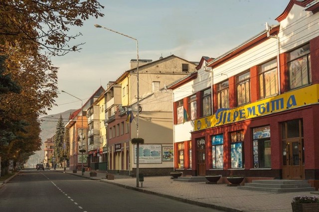
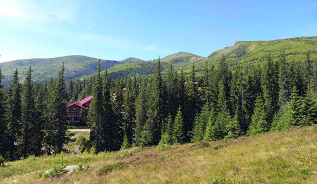
The city of Rakhiv is a regional center on the river Tisza, the geographical center of continental Europe. The first mention dates back to 1447, although the settlement existed earlier. The Opryshki movement of Oleksa Dovbush was especially widespread here.
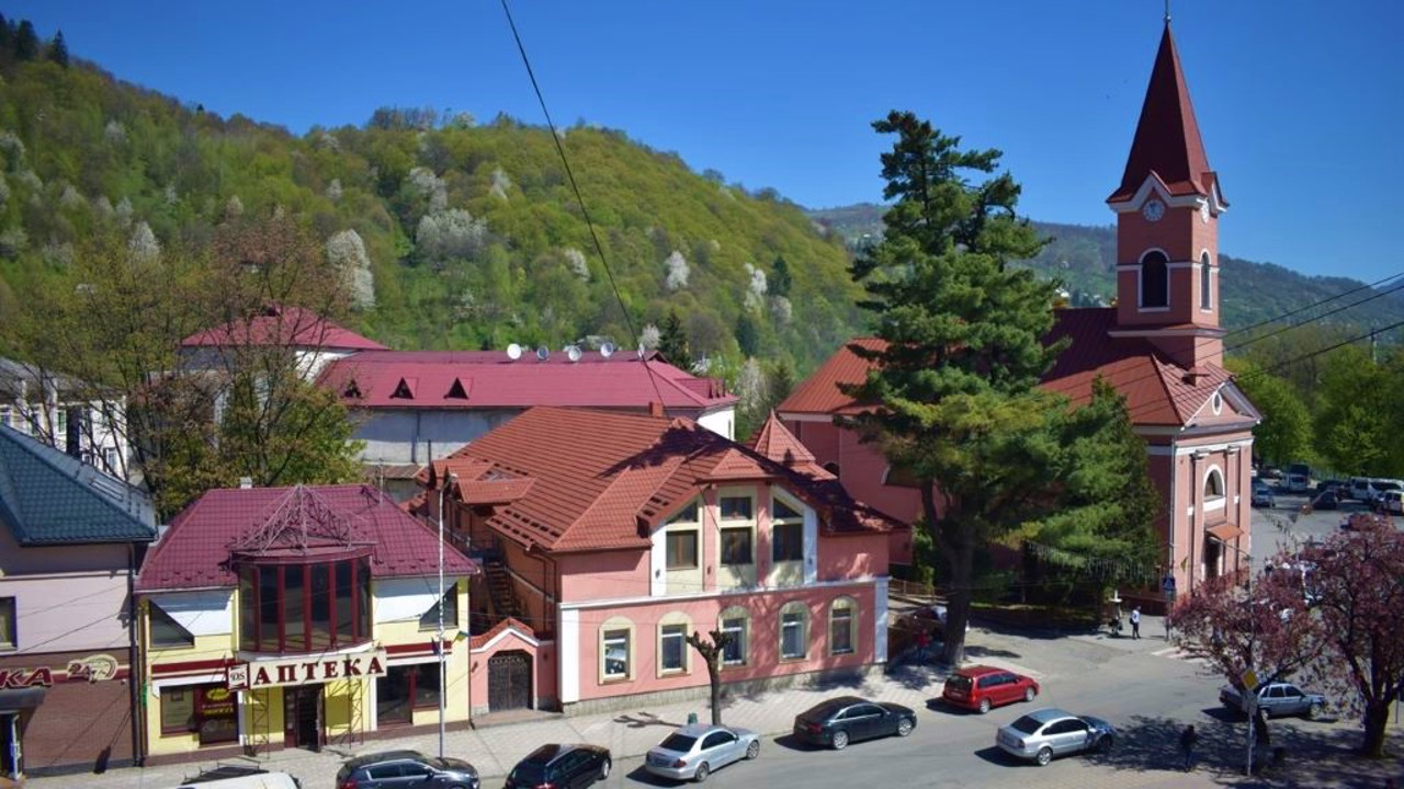
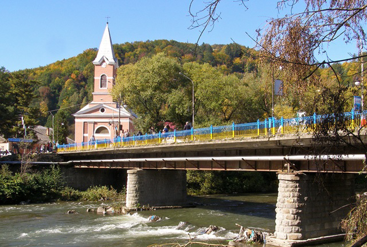
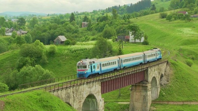
Intensive economic development began during the times of Austria-Hungary: Rakhiv became the center of the timber industry, the Rakhiv-Yasinia railway was built. In 1825 the Church of Saint John of Nepomuk was built. During the entry of Transcarpathia into Czechoslovakia, Rakhiv region began to actively develop as a tourist center.
Near Rakhiv there is the "Carpathian Biosphere Reserve" with karst caves "Molochny Kamen", "Greben" and the deepest mine in the Carpathians "Druzhba". The ...
The city of Rakhiv is a regional center on the river Tisza, the geographical center of continental Europe. The first mention dates back to 1447, although the settlement existed earlier. The Opryshki movement of Oleksa Dovbush was especially widespread here.
Intensive economic development began during the times of Austria-Hungary: Rakhiv became the center of the timber industry, the Rakhiv-Yasinia railway was built. In 1825 the Church of Saint John of Nepomuk was built. During the entry of Transcarpathia into Czechoslovakia, Rakhiv region began to actively develop as a tourist center.
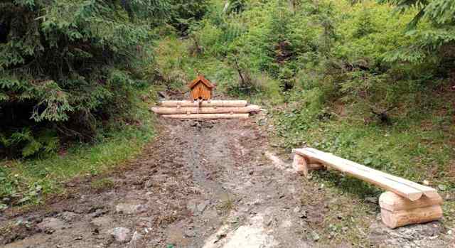
Near Rakhiv there is the "Carpathian Biosphere Reserve" with karst caves "Molochny Kamen", "Greben" and the deepest mine in the Carpathians "Druzhba". There are many ski slopes in the vicinity.
At the beginning of June, the festival "Seeing off to the meadows" is held, when shepherds are seen off to summer pastures - they play trembites and burn vatras.
"The center of Europe" is located near the neighboring village Dilove on the right bank of the river Tysa, where a geodetic mark was installed by Austrian specialists in 1887.
Місто Рахів - районний центр на річці Тиса, географічний центр континентальної Європи. Перша згадка датується 1447 роком, хоча поселення існувало і раніше. Тут був особливо поширений опришківський рух Олекси Довбуша.
Інтенсивний економічний розвиток почався за часів Австро-Угорщини: Рахів став центром лісової промисловості, була прокладена залізниця Рахів-Ясіня. У 1825 році побудований костел Святого Іоанна Непомука. Під час входження Закарпаття до складу Чехословаччини Рахівщина стала активно розвиватися як туристичний центр.
Поруч з Раховим розташований "Карпатський біосферний заповідник" з карстовими печерами "Молочний камінь", "Гребінь" та найглибшою в Карпатах шахтою "Дружба". В околицях багато гірськолижних трас.
На початку ...
Місто Рахів - районний центр на річці Тиса, географічний центр континентальної Європи. Перша згадка датується 1447 роком, хоча поселення існувало і раніше. Тут був особливо поширений опришківський рух Олекси Довбуша.
Інтенсивний економічний розвиток почався за часів Австро-Угорщини: Рахів став центром лісової промисловості, була прокладена залізниця Рахів-Ясіня. У 1825 році побудований костел Святого Іоанна Непомука. Під час входження Закарпаття до складу Чехословаччини Рахівщина стала активно розвиватися як туристичний центр.
Поруч з Раховим розташований "Карпатський біосферний заповідник" з карстовими печерами "Молочний камінь", "Гребінь" та найглибшою в Карпатах шахтою "Дружба". В околицях багато гірськолижних трас.
На початку червня проходить свято "Проводи на полонину", коли пастухів проводжають на літні пасовища - грають на трембітах і палять ватри.
"Центр Європи" знаходиться біля сусіднього села Ділове на правому березі річки Тиса, де австрійськими фахівцями в 1887 році встановлений геодезичний знак.
Сплануй своє перебування у Rakhiv
What to see and where to go in Rakhiv
Tourist attractions and museums of Rakhiv
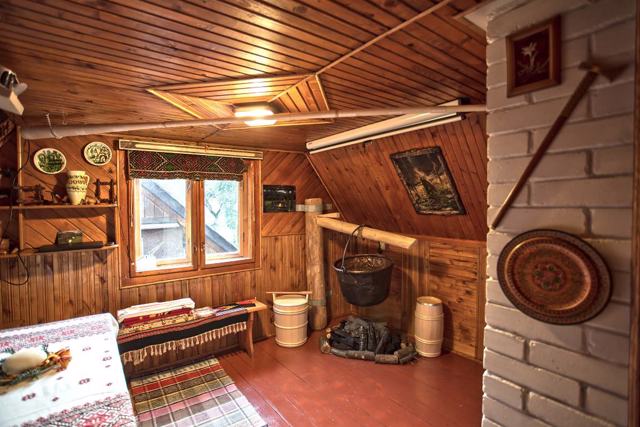
Hutsul Bryndzya Museum
Museum / gallery , Ethnographic complex , Gastrotourism
The Hutsul Bryndzya Museum ethno-tourist center in Rakhiv was opened in 2020 on the initiative of representatives of the Association of producers of traditional Carpathian high mountain cheeses.
The exhibition presents a mock-up of a sheepfold - a room for the production of polonynas sheeps cheeses with traditional cheese-making equipment: a cauldron, a putera and a berbenitsa. During the tour, visitors are introduced to the Hutsul bryndza production technology, and the documentary film "Hutsul Sheep Bryndzya" is shown about this traditional product, which received the first registered PDO (Protected Designation of Origin) geographical indication in Ukraine.
The museum premises are decorated in the style of a traditional Hutsul house. All exhibits can be handled, tried on, photographed with them. There is a tasting gazebo in the yard. The program of the visit includes the preparation and tasting of kulesha with bryndza.
The territory of the Hutsul Bryndzya Museum is arranged taking into account the norms of architectural accessibility.
The cultural and touristic route "Hutsul Cheese Plays" starts from the museum.
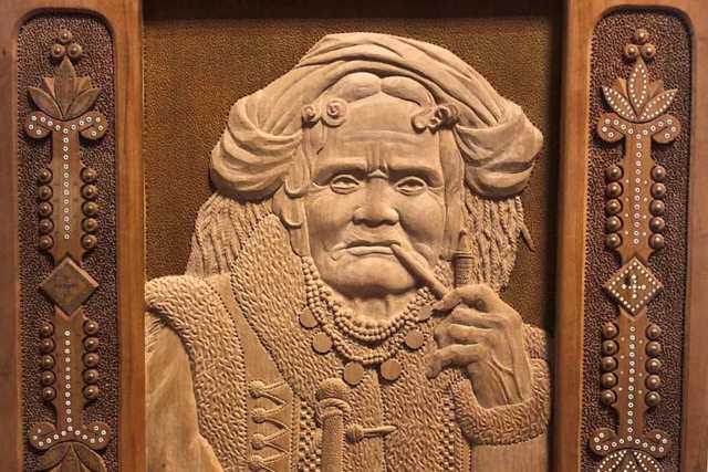
Hutsul Carvings Museum of Yuriy Pavlovych
Museum / gallery
The Hutsul Carvings Museum of Yuriy Pavlovych was opened in 2014 on the first floor of the Hotel "Europa" in Rakhiv.
The exposition presents more than a hundred works of the outstanding Transcarpathian carver, Honored Master of Folk Art of Ukraine, Yuriy Pavlovych. The master works in the techniques of conventional carving, dry carving, inlaying with bacunt, bone, beads, mother-of-pearl and nails.
Among the exhibits are decorative plates, caskets, tubs, candlesticks, spoons, knives, trembits, guns and sabers.
A special place in the exposition is occupied by carved portraits of prominent personalities of Western Ukraine, including Vasyl Stefanyk, Les Martovych, Mikhay Munkachi, Yerotey Pihulyak and others.
Mountain Ecology Museum (Carpathian Biosphere Reserve)
Museum / gallery , Natural object , Reserve , Active rest
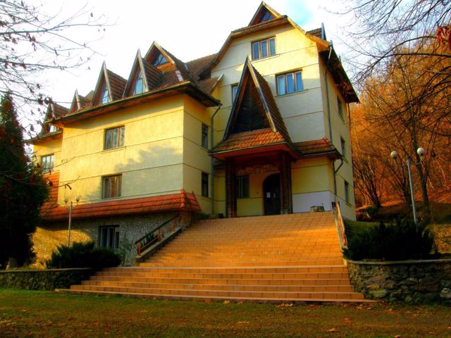
The central manor of the Carpathian Biosphere Reserve is located on the southern outskirts of Rakhiv.
Under the protection of the reserve are 2.5% of the territory of the Carpathian region (58 thousand hectares), the ecosystems of which are characterized by the greatest biological diversity in Europe and are considered among the most valuable on the planet.
The first forests of the Carpathians were taken under protection in 1955, and soon the Carpathian Nature Reserve was created on an area of 12 thousand hectares. Since 1992, it has been part of the international network of UNESCO biosphere reserves. There are six separate massifs on the territory of several districts of Transcarpathia. The most famous is the Narcissus Valley, where the rare narrow-leaved narcissus grows. The Svydovetsky reserve covers the highest part of Svydovets with the legendary peaks of Blyznyuky - Edelweiss trees grow here. The business card of the Chornohorsky massif is the highest peak of Ukraine - Mount Hoverla (2061 meters above sea level).
The Museum of Mountain Ecology and History of Nature Use in the Ukrainian Carpathians operates at the central estate.
Rakhiv in news and blogs
Reviews Rakhiv
Geographical information about Rakhiv
| {{itemKey}} | {{itemValue}} |
|---|---|
| Region |
Zakarpattia |
