Functional temporarily unavailable
Bilasovytsia
Travel guide online Bilasovytsia
General information about Bilasovytsia
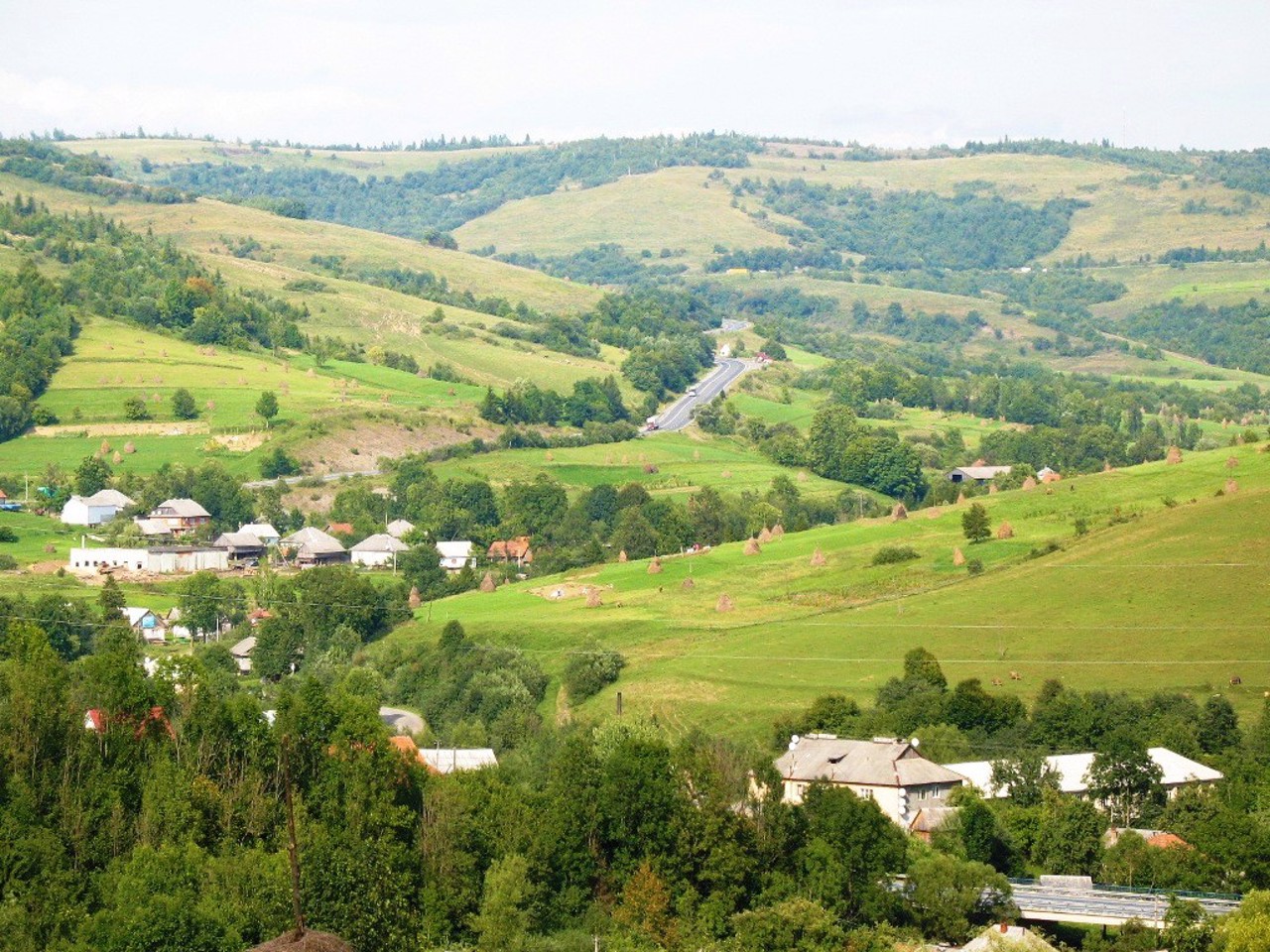
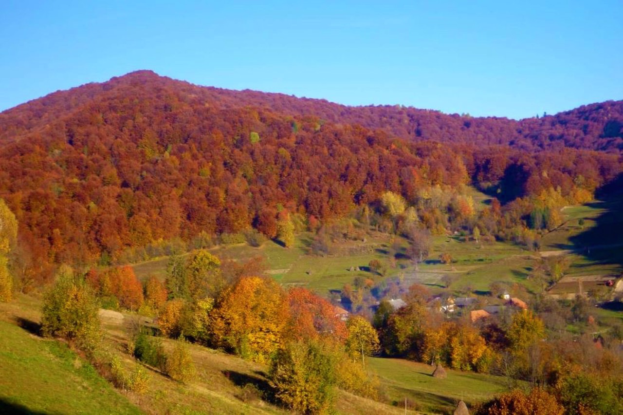
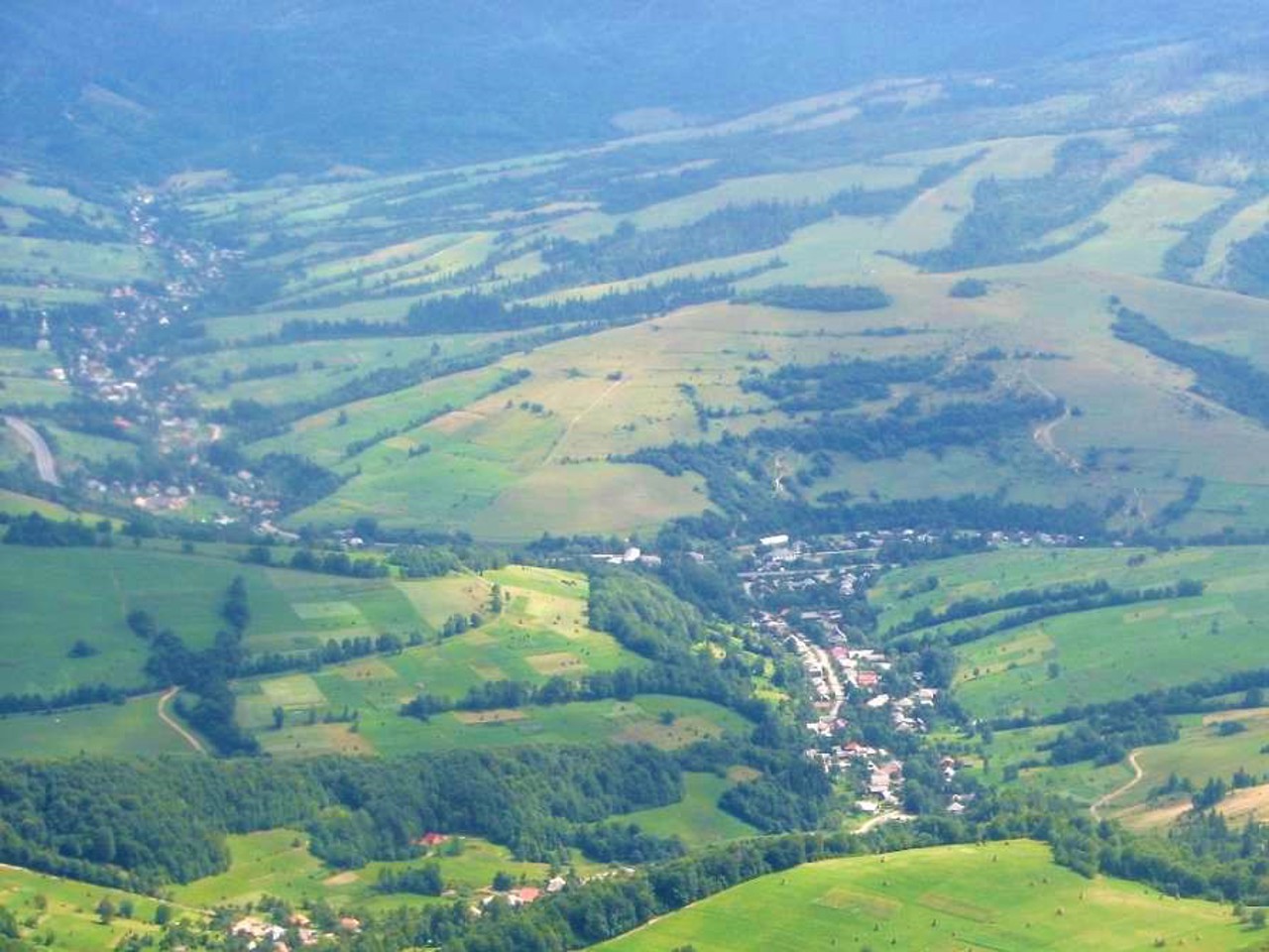
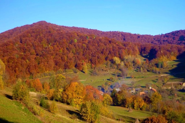
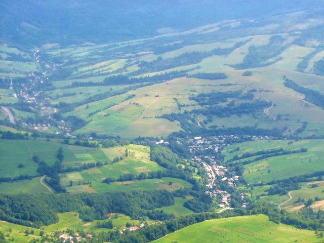
Bilasovytsia is a village on the Kyiv-Chop international highway, on the border of Zakarpattia and Lviv regions. From here begins the shortest route to Mount Pikuy (1408 meters) - the highest point of the Lviv region. The northeastern slopes of the mountain are a state reserve.
In February, mass ascents to the mountain are held every year with the installation of the national flag in memory of the fallen young Ukrainian patriots near Kruty.
Біласовиця - село на міжнародній трасі Київ-Чоп, на межі Закарпатської та Львівської областей. Звідси починається найкоротший маршрут на гору Пікуй (1408 метрів) - найвищу точку Львівської області. Північно-східні схили гори є державним заказником.
У лютому щорічно проходять масові сходження на гору з встановленням національного прапора в пам'ять про загиблих молодих українських патріотів під Крутами.
Сплануй своє перебування у Bilasovytsia
What to see and where to go in Bilasovytsia
Tourist attractions and museums of Bilasovytsia
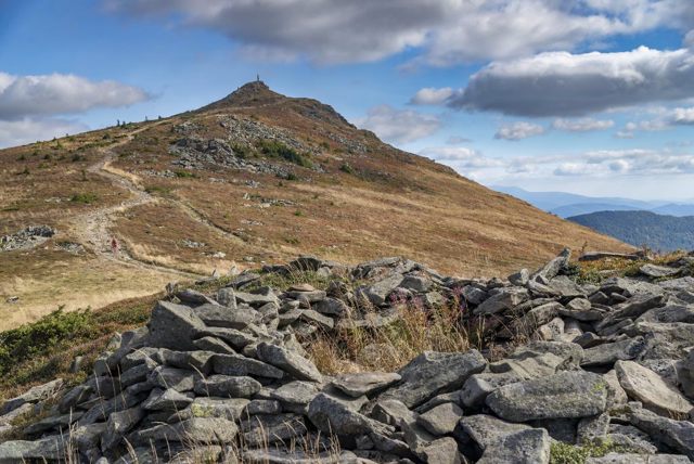
Pikuy Mount
Natural object
Mount Pikuy is the highest peak of the Verkhovyna watershed ridge, the highest geographical point of the Lviv region (1408 meters).
It is located on the border of Lviv and Transcarpathian regions. The slopes of Pikuy are covered with beech forests. Most of the route to the top passes through the forest.
From the top of Mount Pikuy, a wonderful panoramic view of several famous Carpathian peaks opens: Polonina Runa (1482 meters), Hostra (1405 meters), Styi (1677 meters). A reinforced concrete stele with a height of about 5 meters is installed on the top.
The easiest and gentlest route to Mount Pikuy starts in Bilasovytsia, an alternative route is from the Transcarpathian villages of Zhdeniievo and Shcherbovets.
Bilasovytsia on photo and video
Reviews Bilasovytsia
Geographical information about Bilasovytsia
| {{itemKey}} | {{itemValue}} |
|---|---|
| Region |
Zakarpattia |
