Functional temporarily unavailable
General information about Tsybli
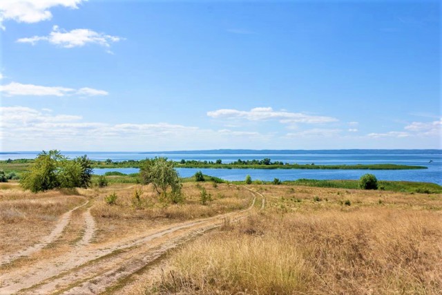
The village of Tsybli on the left bank of the Kaniv Reservoir is located 10 kilometers from Pereyaslav in the direction of Zolotonosha.
Known since the 17th century. Initially, the village was located on the banks of the Dnipro. In 1964, in connection with the construction of the reservoir, the inhabitants were relocated to the high bank. The lower part of the village was flooded.
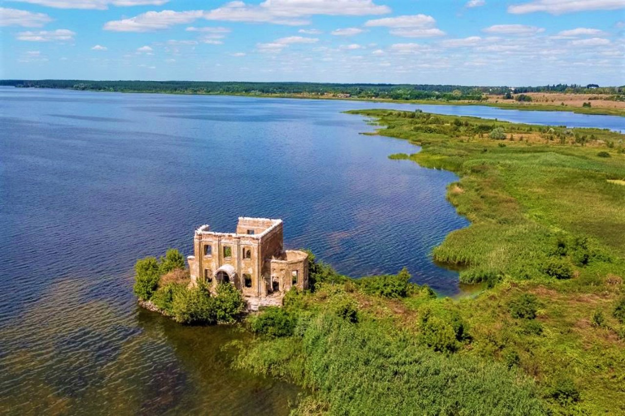
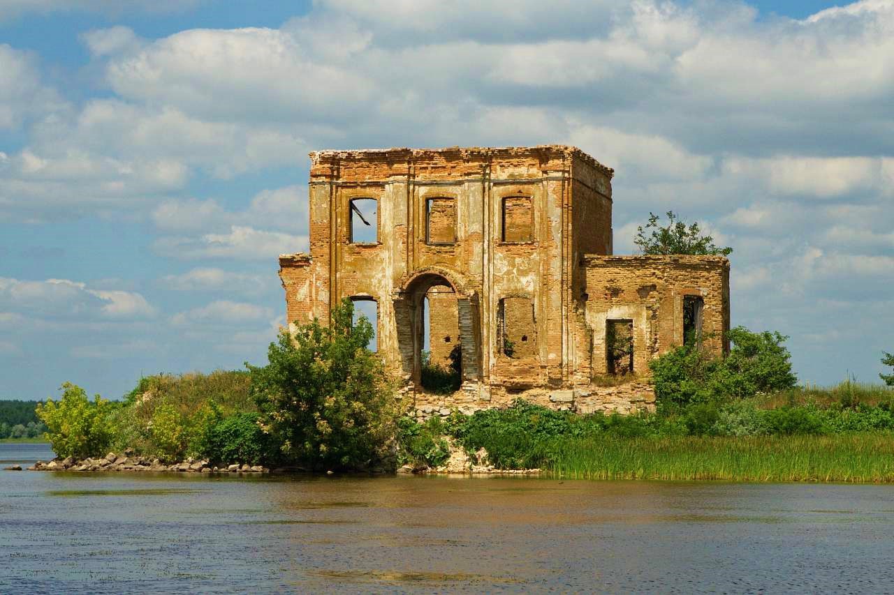
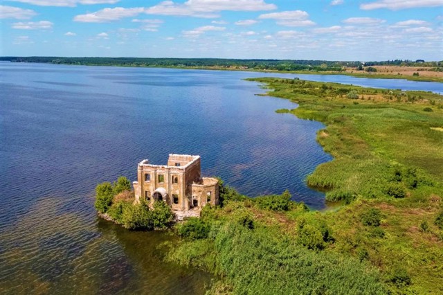
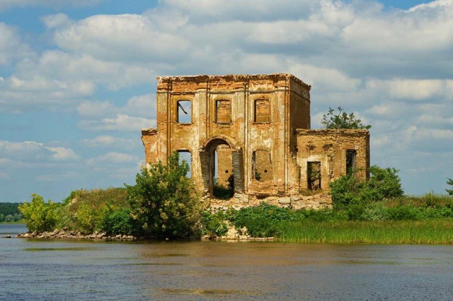
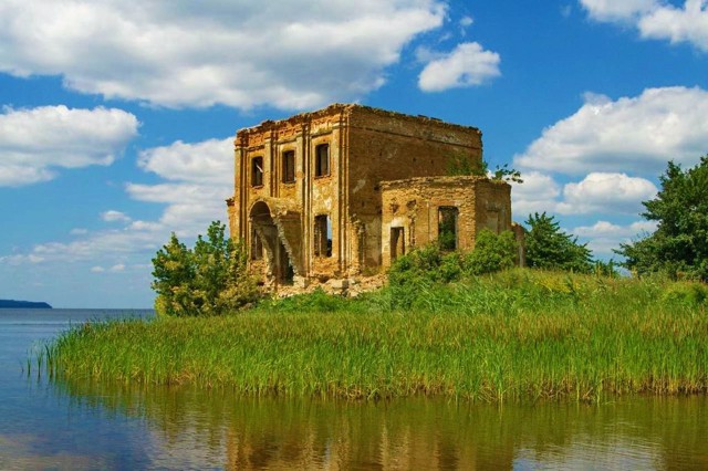
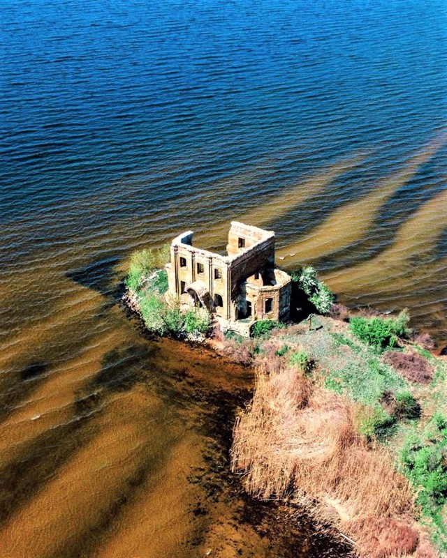
Only the ruins of the Church of Saint Elias, which stood on a rise that turned into a coastal island, have survived.
Село Циблі на лівому березі Канівського водосховища розташоване в 10 кілометрах від Переяслава в бік Золотоноші.
Відоме з XVII сторіччя. Спочатку село розташовувалося на березі Дніпра. В 1964 році у зв'язку зі спорудженням водосховища жителів переселили на високий берег. Нижня частина села була затоплена.
Збереглися лише руїни церкви Святого Іллі, яка стояла на узвишші, що перетворилося на прибережний острів.
Сплануй своє перебування у Tsybli
What to see and where to go in Tsybli
Tourist attractions and museums of Tsybli
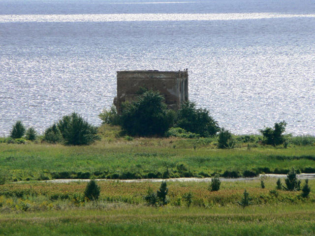
Saint Elijah Flooded Church
Temple , Architecture
The ruins of the flooded church of Saint Elijah are the only preserved structure of the flooded village of Tsybli, which was moved to the high bank of the Dnipro in connection with the construction of the Kaniv Reservoir.
The temple was built in 1912 on the site of a wooden church of the 18th century. The architecture of the Elijah Church with five onion domes had features of Pskov-Novhorod architecture with elements of classicism. A bell tower with a tent-like top was attached to the temple.
Currently, the church is in a dilapidated state and stands on the shoal. You can get to it by wading or by boat.
Reviews Tsybli
Geographical information about Tsybli
| {{itemKey}} | {{itemValue}} |
|---|---|
| Region |
Kyiv |
