Functional temporarily unavailable
General information about Kizlivka
The village of Kizlivka is located on the right bank of the Mnoha River, south of Chornukhy.
It was first mentioned in 1612. During the War of Liberation, it became part of the Chornukhynska Hundred of the Lubny Regiment. After the liquidation of the Cossack system at the end of the 18th century, Kizlivka became the property of Count Bezborodko.
In 1886, a new wooden church was built in Kizlivka, and in 1912 - a Zemstvo school designed by Opanas Slastion (Slastion), the building of which has survived to this day.
Село Кізлівка на правому березі річки Многа розташоване на південь від Чорнух.
Вперше згадується в 1612 році. Під час Визвольної війни увійшло до складу Чорнухинської сотні Лубенського полку. Після ліквідації козацького устрою в кінці XVIII століття Кізлівка перейшла у власність графа Безбородька.
В 1886 році в Кізлівці була побудована нова дерев'яна церква, а в 1912 році - земська школа за проєктом Опанаса Сластіона (Сластьона), будівля якої збереглася донині.
Сплануй своє перебування у Kizlivka
What to see and where to go in Kizlivka
Tourist attractions and museums of Kizlivka

Zemska School
Architecture
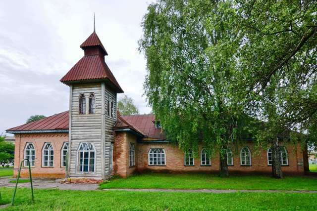
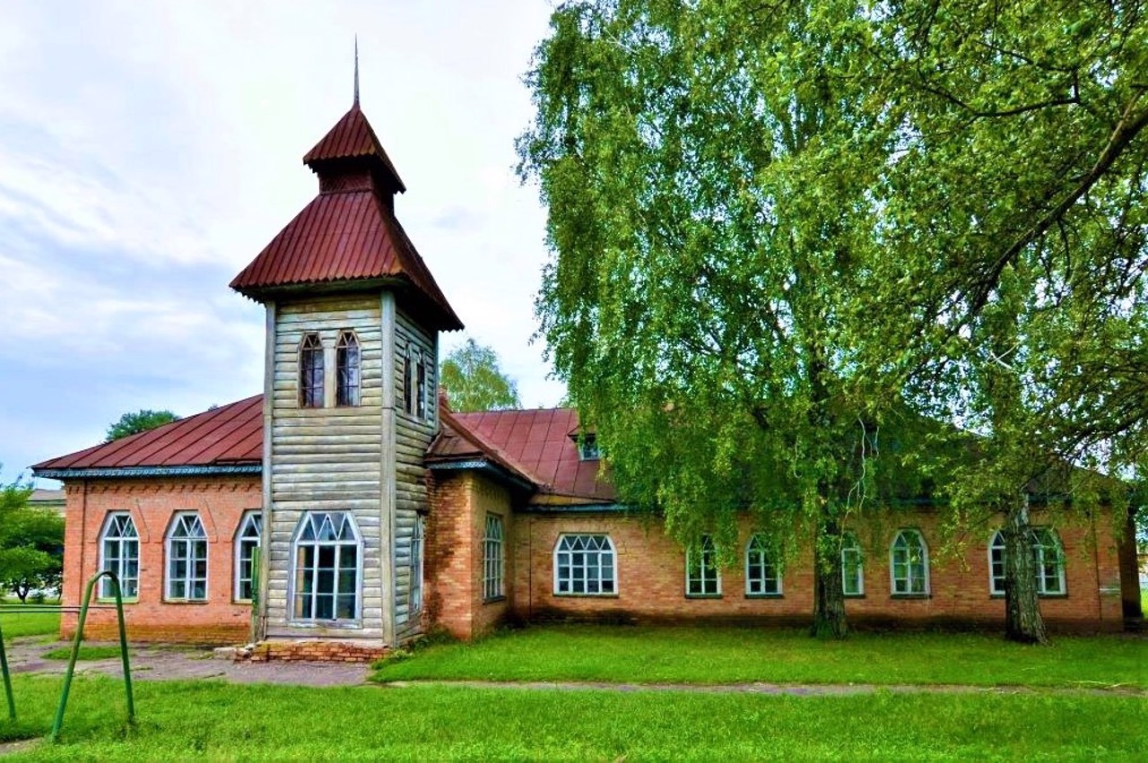
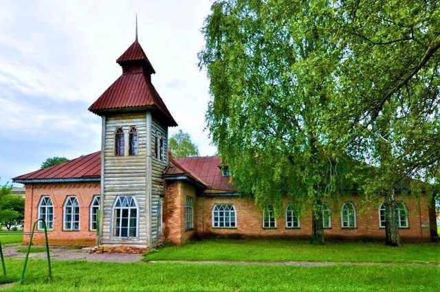
The Kizlivka Zemska School is one of the fifty surviving schools of the Lohvytsia Zemstvo, built at the beginning of the 20th century according to the designs of the architect, artist and ethnographer Opanas Slastion (Slaston) in the style of Ukrainian Art Nouveau. All of them are distinguished by the use of reinterpreted techniques of traditional Ukrainian architecture.
The school in Kizlivka is two-class, one-story, with a characteristic two-story tower with a spire. The Slastion style is also well read by trapezoidal windows, tented roofs and brick decoration. The building is still used for its intended purpose - it is an auxiliary building of the Kizlivka Lyceum.
Reviews Kizlivka
Geographical information about Kizlivka
| {{itemKey}} | {{itemValue}} |
|---|---|
| Region |
Poltava |


