Functional temporarily unavailable
General information about Kalynopil
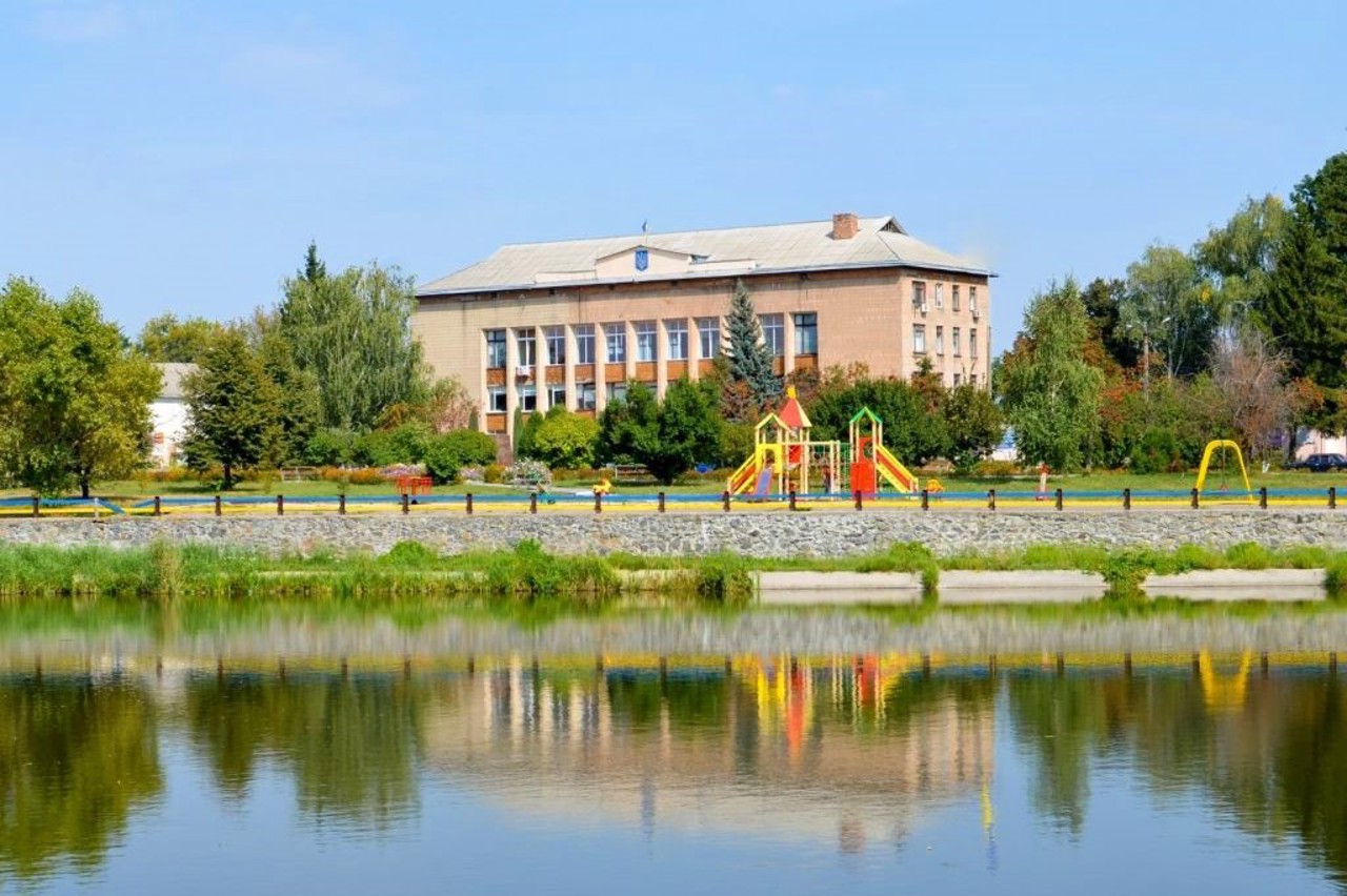
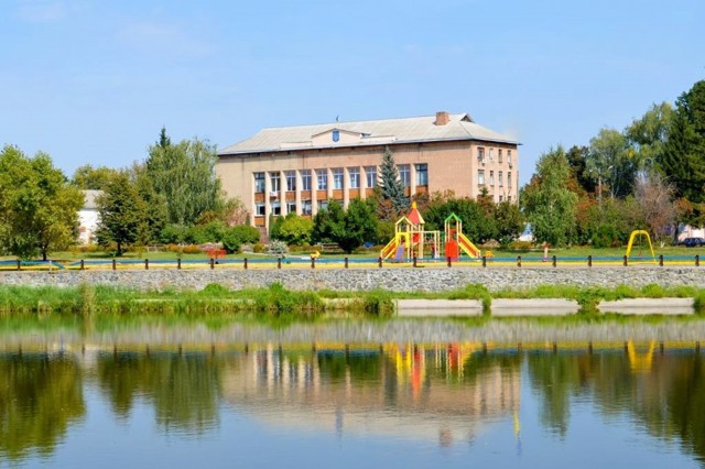
The town Kalynopil is located on the banks of the Hnyliy Tikych River between Talne and Shpola.
It was mentioned for the first time in 1568 as Kalnyboloto in connection with the grant of Magdeburg law to the town. According to legend, the Cossack Kalnybolotko earned such a privilege from King Sigismund II Augustus.
During the Liberation War of 1648-1654, Kalnyboloto became the hundredth town of the Korsun regiment, but after the Armistice of Andrusiv in 1667, it again came under the control of Poland. In 1795, the city was renamed to Katerynopil and it became the district center, and since 1798 - the center of the volost within the R ...
The town Kalynopil is located on the banks of the Hnyliy Tikych River between Talne and Shpola.
It was mentioned for the first time in 1568 as Kalnyboloto in connection with the grant of Magdeburg law to the town. According to legend, the Cossack Kalnybolotko earned such a privilege from King Sigismund II Augustus.
During the Liberation War of 1648-1654, Kalnyboloto became the hundredth town of the Korsun regiment, but after the Armistice of Andrusiv in 1667, it again came under the control of Poland. In 1795, the city was renamed to Katerynopil and it became the district center, and since 1798 - the center of the volost within the Russian Empire. Until 1853, these lands belonged to representatives of the Potocki clan, then they went to the treasury.
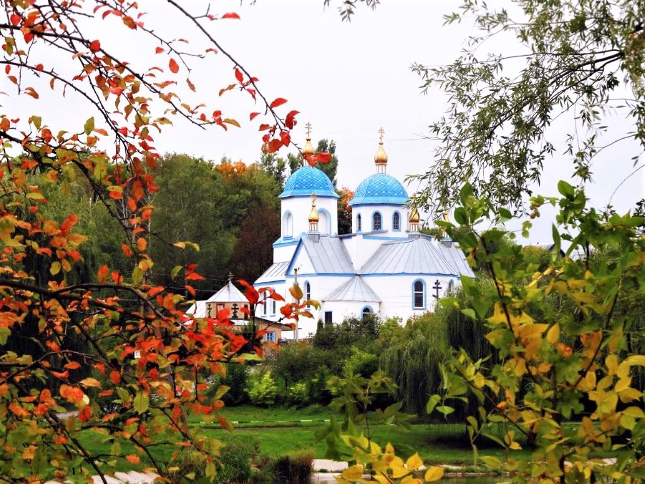
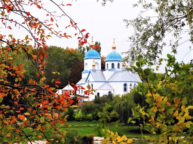
Saint Michael's Church, destroyed during the Soviet rule, was restored in the 1990s.
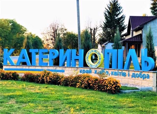
In 2024, in accordance with the requirements of the law of Ukraine "On condemnation and prohibition of propaganda of Russian imperial policy in Ukraine and decolonization of toponymy", the village of Katerynopil was renamed to Kalynopil.
Селище Калинопіль розташоване на березі річки Гнилий Тікич між Тальним і Шполою.
Вперше згадується в 1568 році як Калниболото у зв'язку із наданням містечку Магдебурзького права. За переказами, таку привелею від короля Сигізмунда II Августа заслужив козак Калниболотко.
За часів Визвольної війни 1648-1654 років Калниболото стало сотенним містечком Корсунського полку, але після Андрусівського перемир'я в 1667 році знову відійшло під владу Польщі. В 1795 році місто було перейменовано на Катеринопіль і воно стало повітовим центром, а з 1798 року - центром волості в складі російської імперії. До 1853 року ці землі належали предста ...
Селище Калинопіль розташоване на березі річки Гнилий Тікич між Тальним і Шполою.
Вперше згадується в 1568 році як Калниболото у зв'язку із наданням містечку Магдебурзького права. За переказами, таку привелею від короля Сигізмунда II Августа заслужив козак Калниболотко.
За часів Визвольної війни 1648-1654 років Калниболото стало сотенним містечком Корсунського полку, але після Андрусівського перемир'я в 1667 році знову відійшло під владу Польщі. В 1795 році місто було перейменовано на Катеринопіль і воно стало повітовим центром, а з 1798 року - центром волості в складі російської імперії. До 1853 року ці землі належали представникам роду Потоцьких, потім відійшли в казну.
Свято-Михайлівська церква, зруйнована в період радянської влади, відновлена в 1990-х роках.
В 2024 році відповідно до вимог закону України "Про засудження та заборону пропаганди російської імперської політики в Україні і деколонізацію топонімії" селище Катеринопіль було перейменоване на Калинопіль.
Сплануй своє перебування у Kalynopil
What to see and where to go in Kalynopil
Tourist attractions and museums of Kalynopil
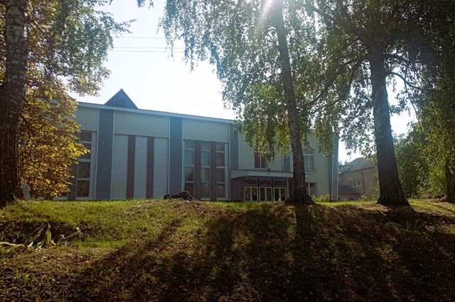
Kalynopil Local Lore Museum
Architecture
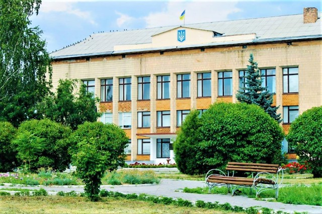
The Local Lore Museum of the city of Kalynopil was founded in 1976 as a non-profit museum. In 1992, it received the status of a "State Museum". It is located in the city House of Culture. In 2017, the museum underwent a major renovation and all the main exhibits were updated.
Today, the museum collection has over two thousand exhibits. The main exhibits are dedicated to the history of ancient man in the region, Trypillya culture, the formation of the ancient Rus state, the events of the Liberation War led by Bohdan Khmelnytsky in 1648-1654, the history of the emergence of Kalynopil, the culture of the region in the late 18th - first half of the 19th century, collectivization and criminal actions of the communist regime, the events of World War II, as well as prominent natives of the region - Serhii Yefremov, Pavlo Fylypovych, Viacheslav Chornovil, Vadym Hetman, Semen Hryzlo.
Reviews Kalynopil
Geographical information about Kalynopil
| {{itemKey}} | {{itemValue}} |
|---|---|
| Region |
Cherkasy |
