Functional temporarily unavailable
Dzhurynskyi waterfall, Nyrkiv
Natural object
General information about Dzhurynskyi waterfall (Nyrkiv)
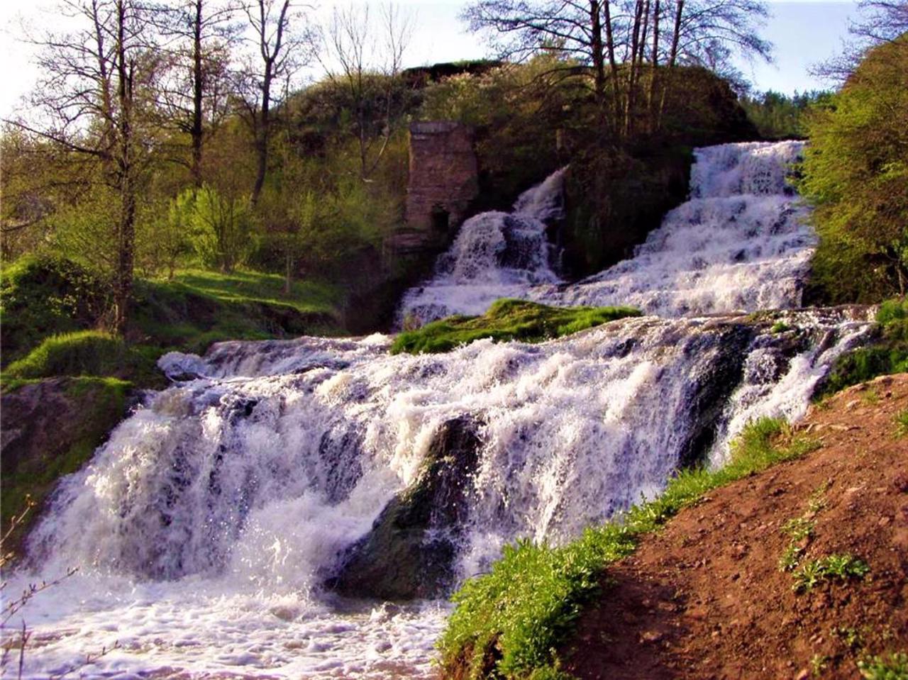
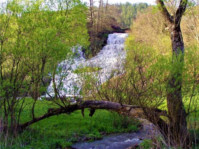
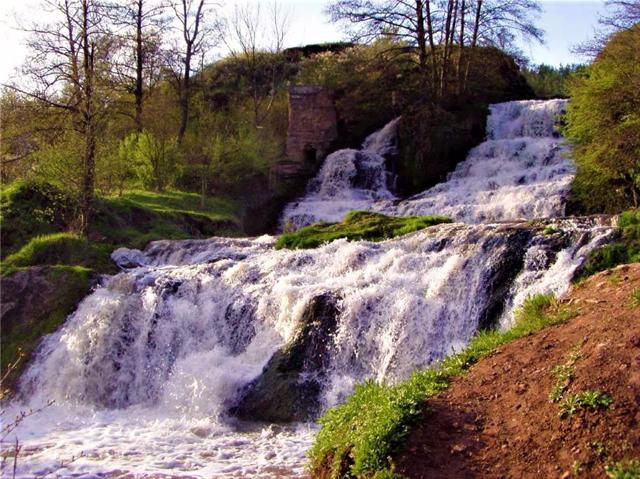
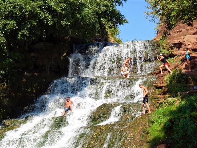
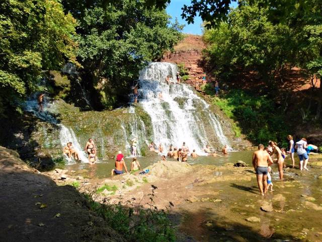
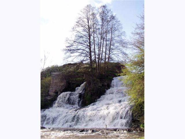
Dzhurynskyi (Chervonohorodskyi, Chervonogradskyi) waterfall near the village of Nyrkiv is the largest plain waterfall in Ukraine (height - 16 meters).
It is located in the Chervone tract, next to the picturesque ruins of Chervonohorodskyi (Chervonohradskyi) castle, on the territory of the Dniester Canyon National Nature Park.
According to legend, the Dzhurynskyi waterfall is of artificial origin. In 1620, Turks and Tatars, breaking through to an impregnable castle surrounded by water, destroyed a stone ridge and changed the course of the river so that it passed by the castle.
According to another version, the channel was changed dur ...
Dzhurynskyi (Chervonohorodskyi, Chervonogradskyi) waterfall near the village of Nyrkiv is the largest plain waterfall in Ukraine (height - 16 meters).
It is located in the Chervone tract, next to the picturesque ruins of Chervonohorodskyi (Chervonohradskyi) castle, on the territory of the Dniester Canyon National Nature Park.
According to legend, the Dzhurynskyi waterfall is of artificial origin. In 1620, Turks and Tatars, breaking through to an impregnable castle surrounded by water, destroyed a stone ridge and changed the course of the river so that it passed by the castle.
According to another version, the channel was changed during the construction of the Poninsky Palace in the 18th century.
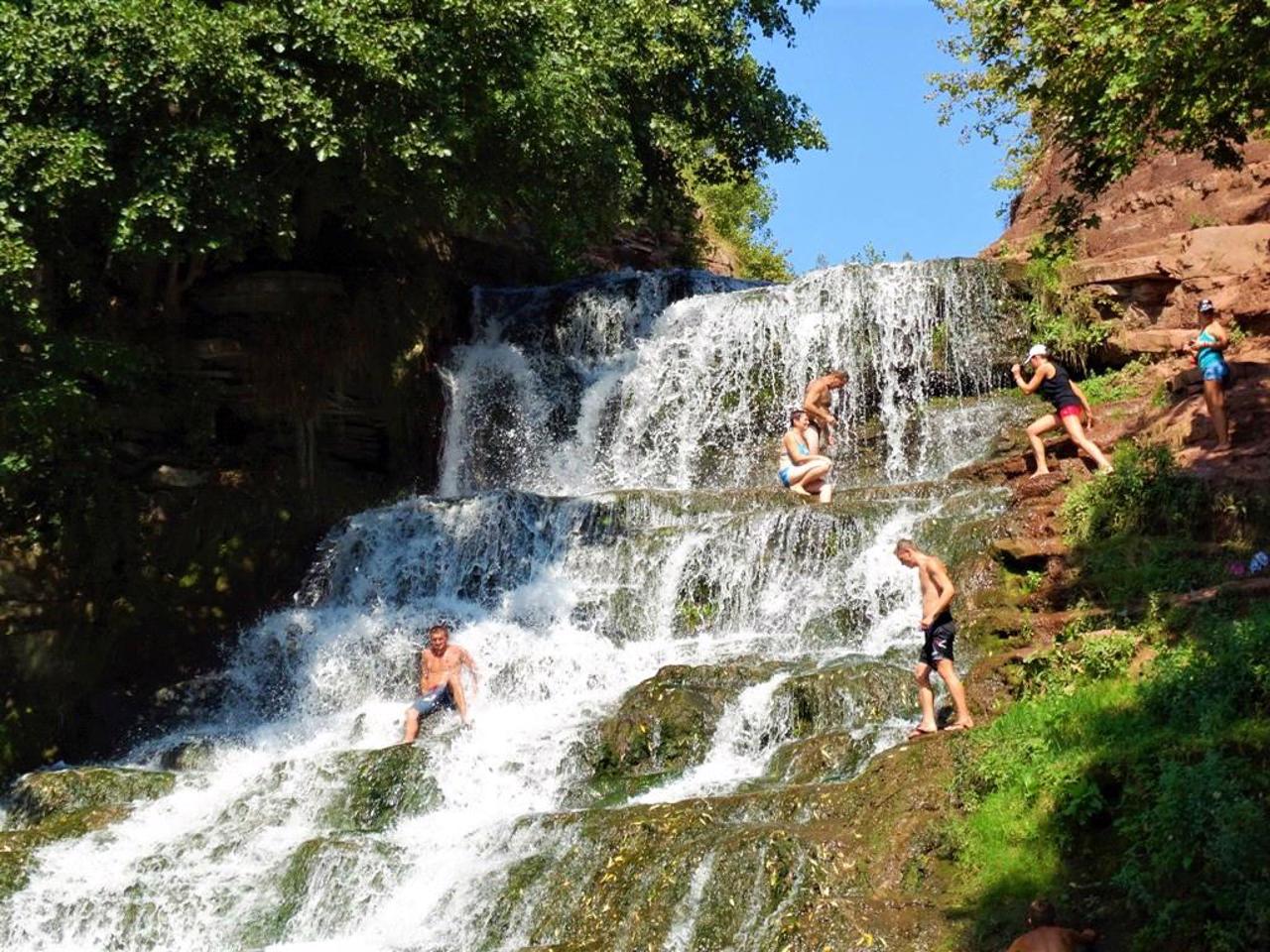
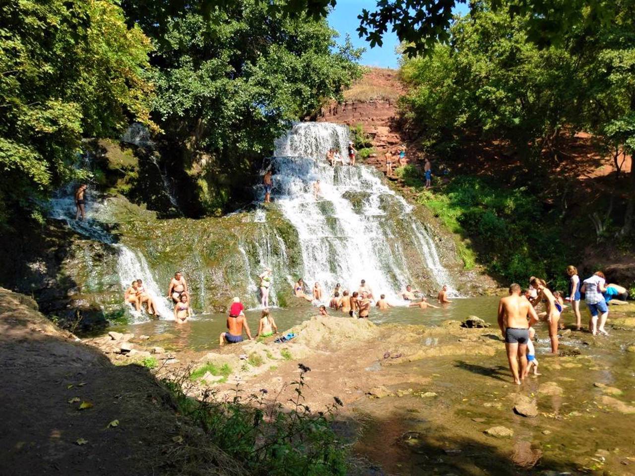
On the rocky shores of Dzhurynskyi Waterfall, you can see the ruins of a water mill that existed in the past. This is a popular summer vacation spot for Ternopil residents. Gazebos and tent sites are available for rent.
Джуринський (Червоногородський, Червоноградський) водоспад біля села Нирків – найбільший рівнинний водоспад України (висота – 16 метрів).
Знаходиться в урочищі Червоне, поряд із мальовничими руїнами Червоногородського (Червоноградського) замку, на території Національного природного парку "Дністровський каньйон".
За переказами, Джуринський водоспад має штучне походження. У 1620 році турки з татарами, прориваючись до неприступного замку, оточеного водою, зруйнували кам'яний кряж і змінили русло річки, щоб вона проходила повз замок.
За іншою версією, русло було змінено під час будівництва палацу Понінсь ...
Джуринський (Червоногородський, Червоноградський) водоспад біля села Нирків – найбільший рівнинний водоспад України (висота – 16 метрів).
Знаходиться в урочищі Червоне, поряд із мальовничими руїнами Червоногородського (Червоноградського) замку, на території Національного природного парку "Дністровський каньйон".
За переказами, Джуринський водоспад має штучне походження. У 1620 році турки з татарами, прориваючись до неприступного замку, оточеного водою, зруйнували кам'яний кряж і змінили русло річки, щоб вона проходила повз замок.
За іншою версією, русло було змінено під час будівництва палацу Понінських у XVIII століття.
На скелястих берегах Джуринського водоспаду можна побачити руїни водяного млина, що існував у минулому. Це популярне місце літнього відпочинку мешканців Тернополя. Пропонується оренда альтанок та місць для наметів.
Practical information about Dzhurynskyi waterfall (Nyrkiv)
Last update
6/19/2025
| Categories | Natural object |
|---|---|
| Address |
Naberezhna Street, "Chervone" tract
Nyrkiv |
| Coordinates |
48.80527778° N, 25.58777778° E
|
| Additional services | |
| Cost | adult - UAH 50, children - UAH 25 |
Аccessibility information
Have you visited Dzhurynskyi waterfall in Nyrkiv?
Add practical or descriptive information, photos, links
What to see, where to go next?


