Functional temporarily unavailable
Mount Hoverla, Vorokhta
Active rest
Natural object
General information about Mount Hoverla (Vorokhta)
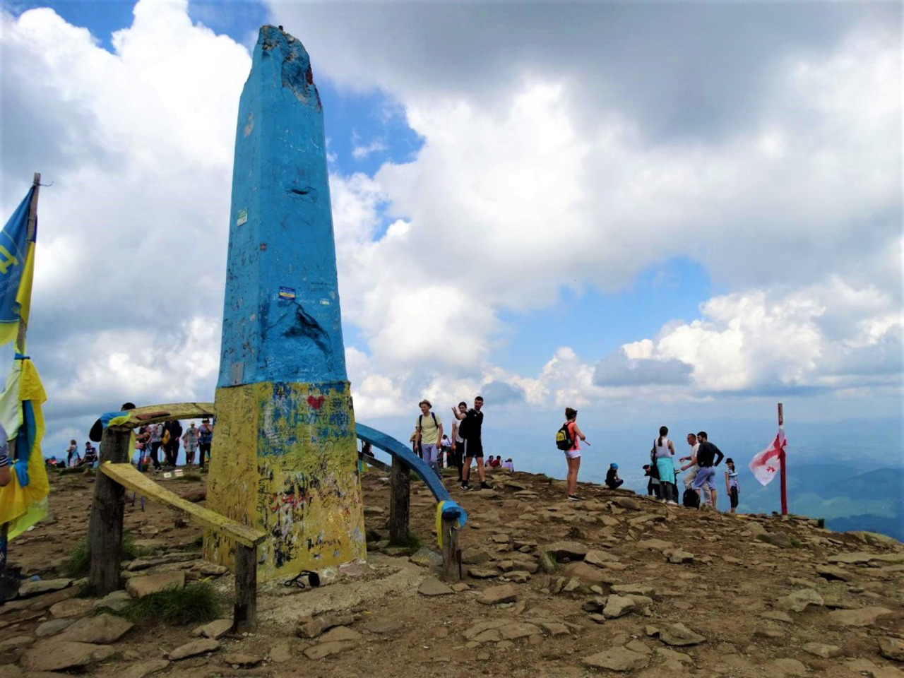
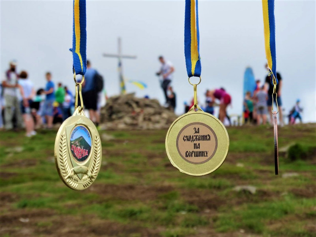
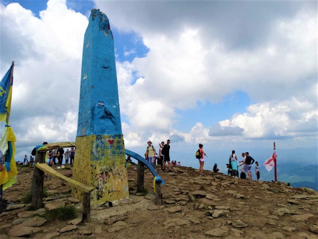
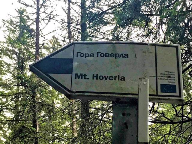
Mount Hoverla is the highest peak of Ukraine (2061 meters), one of the national symbols.
It is located on the border of the Ivano-Frankivsk and Transcarpathian regions, belongs to the Chornohora mountain massif.
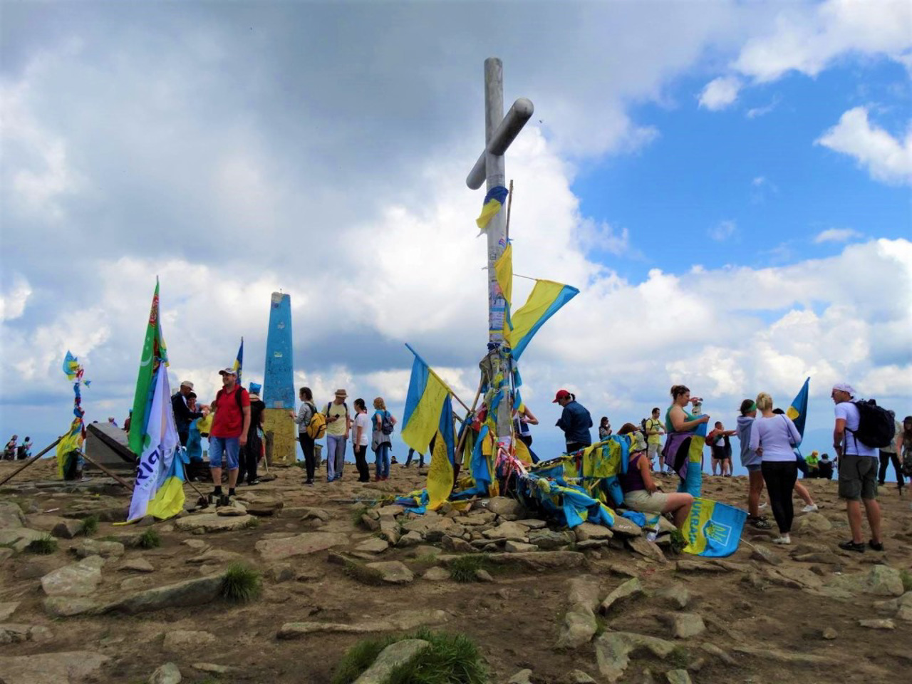
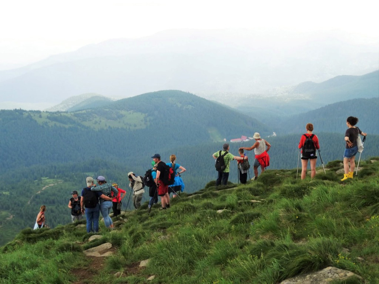
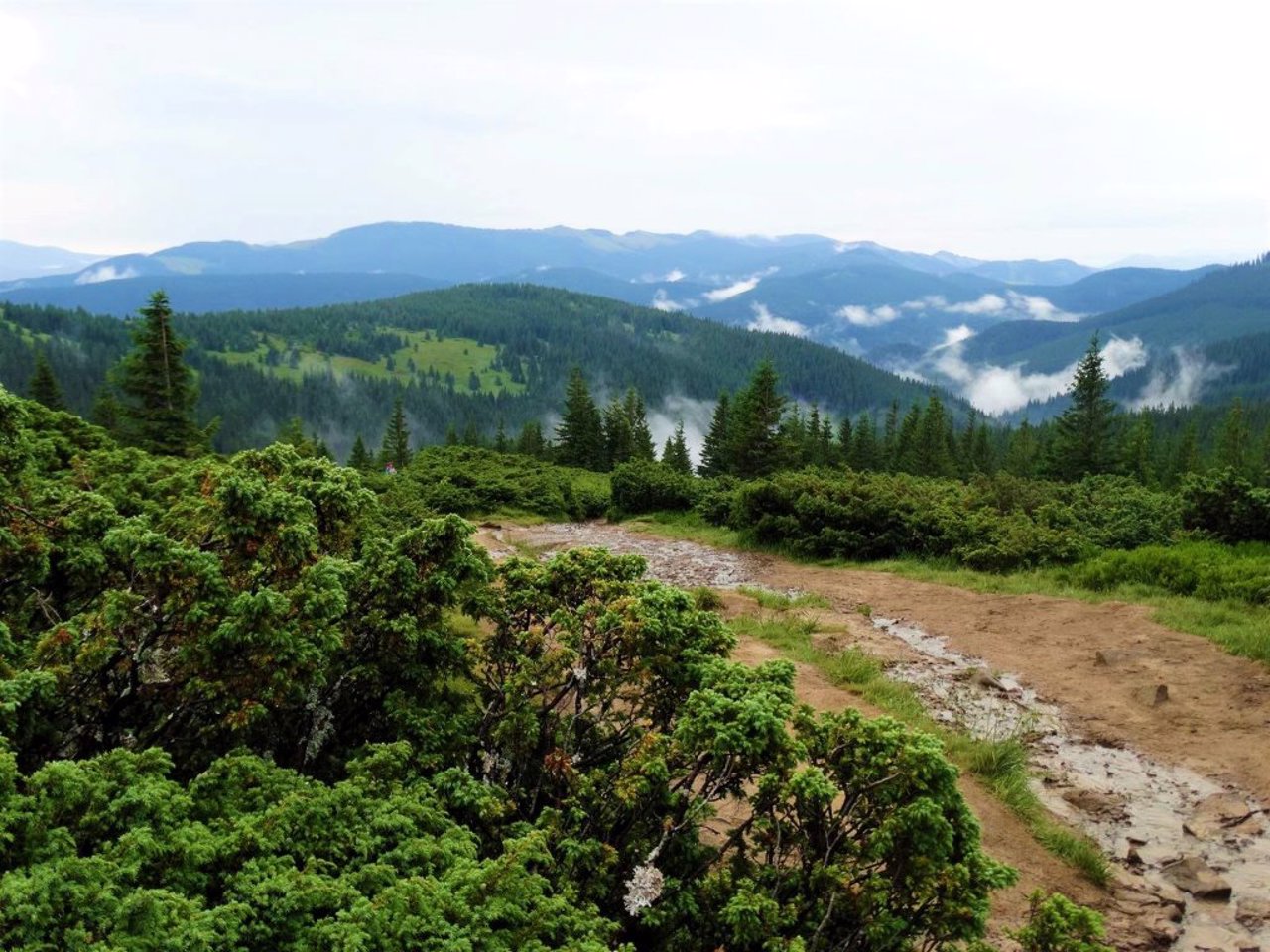
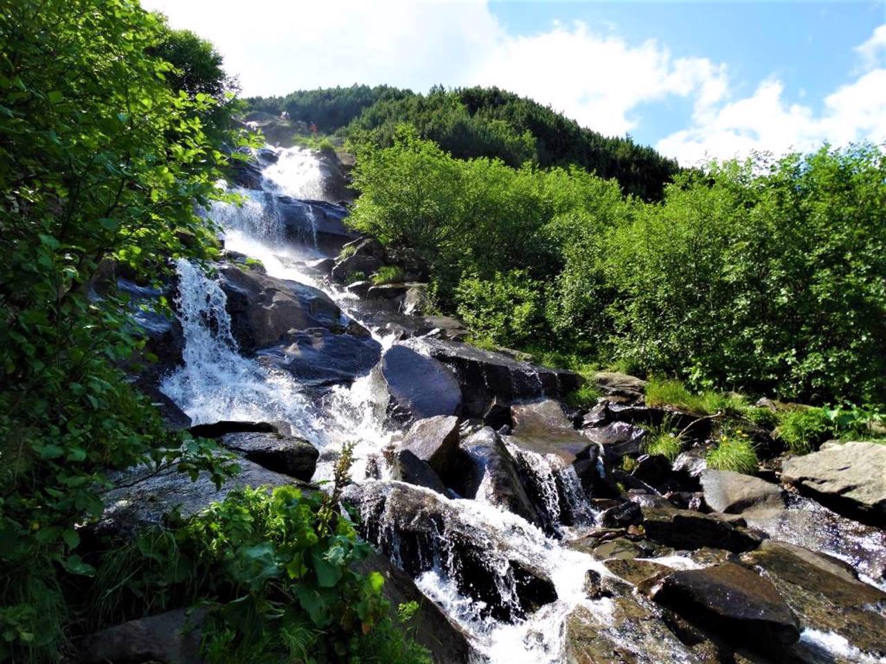
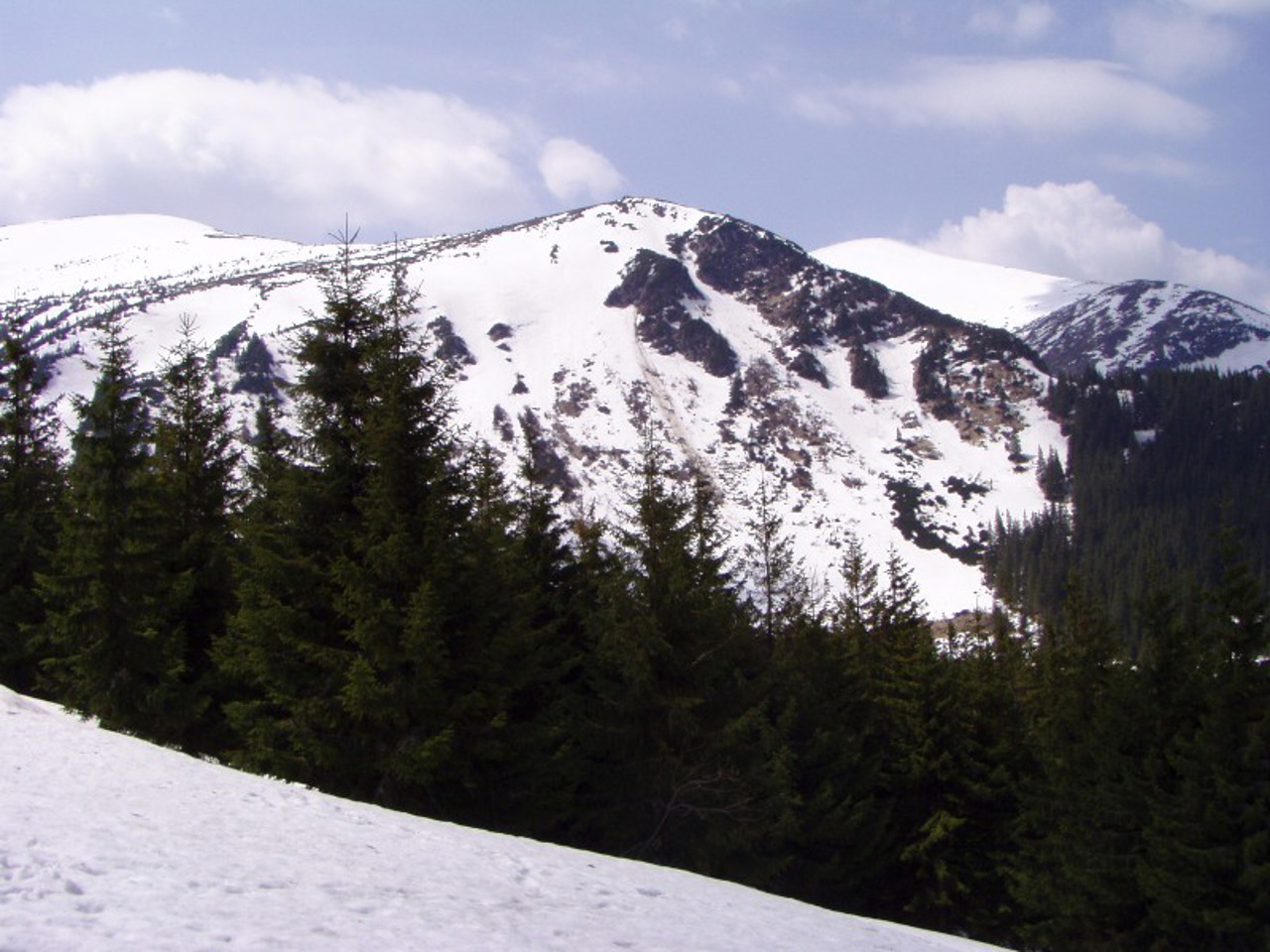
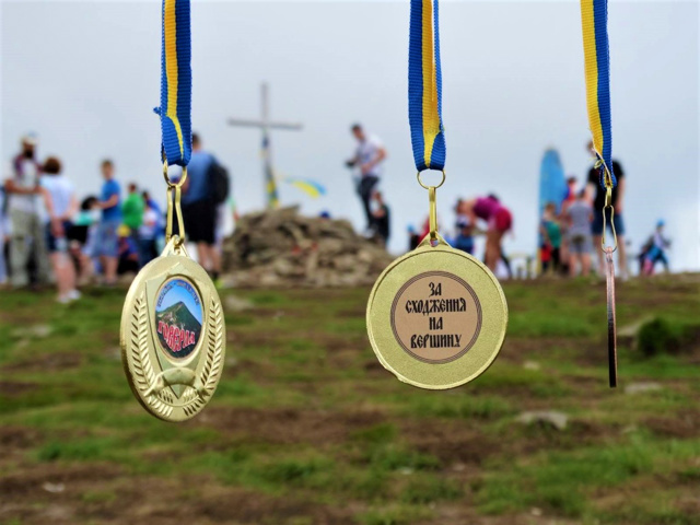
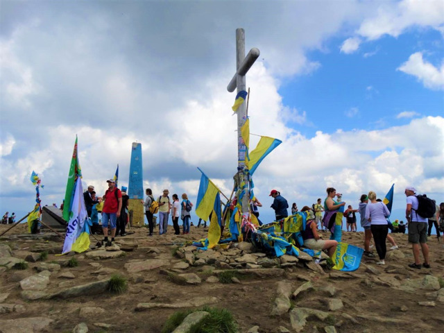
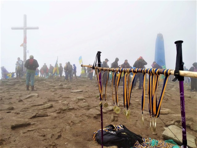
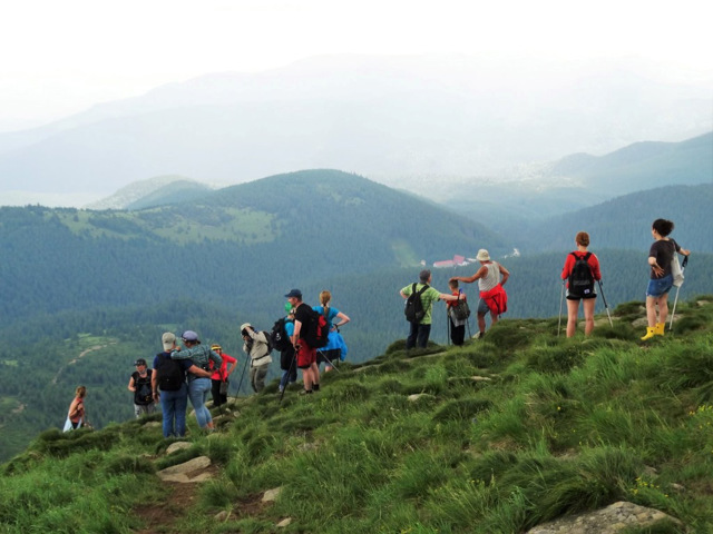
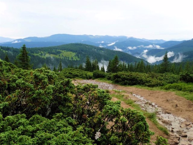
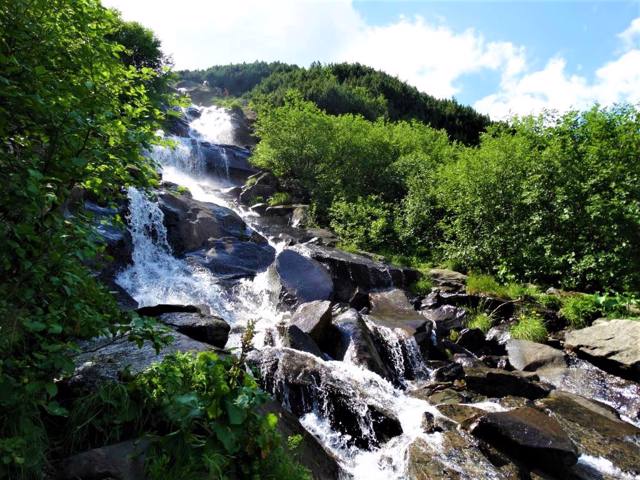
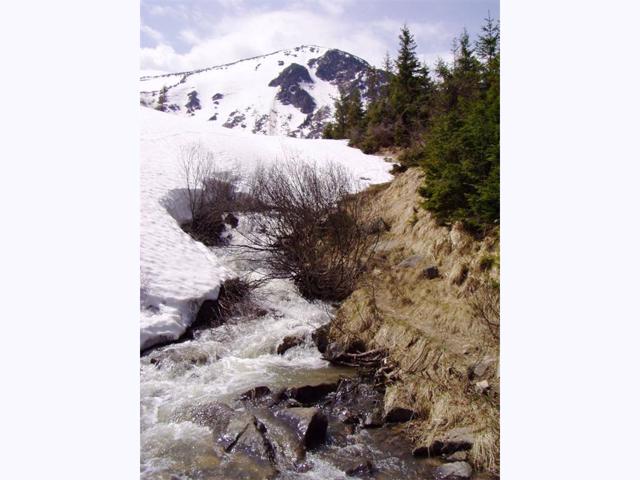
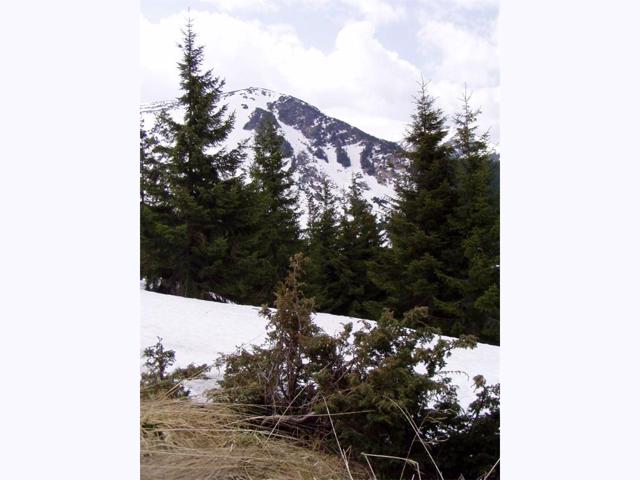
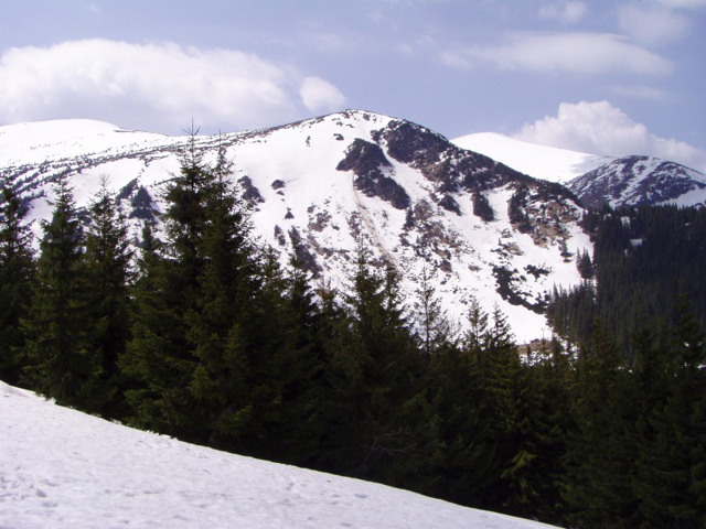
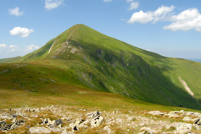
Translated from Hungarian, the name means "Snow Mountain" (snow on the top often lies until mid-summer). The mountain has a cone-shaped shape, covered with alpine meadows, shrub wastelands, stone screes occur. The top is a small platform, from which a panoramic view of the entire Chornohora ridge opens, and in the distance the Marmarosh ridge, which runs along the border with Romania, can be seen. A huge cross is installed on the top. At the foot is one of the sources of the Prut River, a waterfall.
Mount Hoverla is located within the protected zone o ...
Mount Hoverla is the highest peak of Ukraine (2061 meters), one of the national symbols.
It is located on the border of the Ivano-Frankivsk and Transcarpathian regions, belongs to the Chornohora mountain massif.
Translated from Hungarian, the name means "Snow Mountain" (snow on the top often lies until mid-summer). The mountain has a cone-shaped shape, covered with alpine meadows, shrub wastelands, stone screes occur. The top is a small platform, from which a panoramic view of the entire Chornohora ridge opens, and in the distance the Marmarosh ridge, which runs along the border with Romania, can be seen. A huge cross is installed on the top. At the foot is one of the sources of the Prut River, a waterfall.
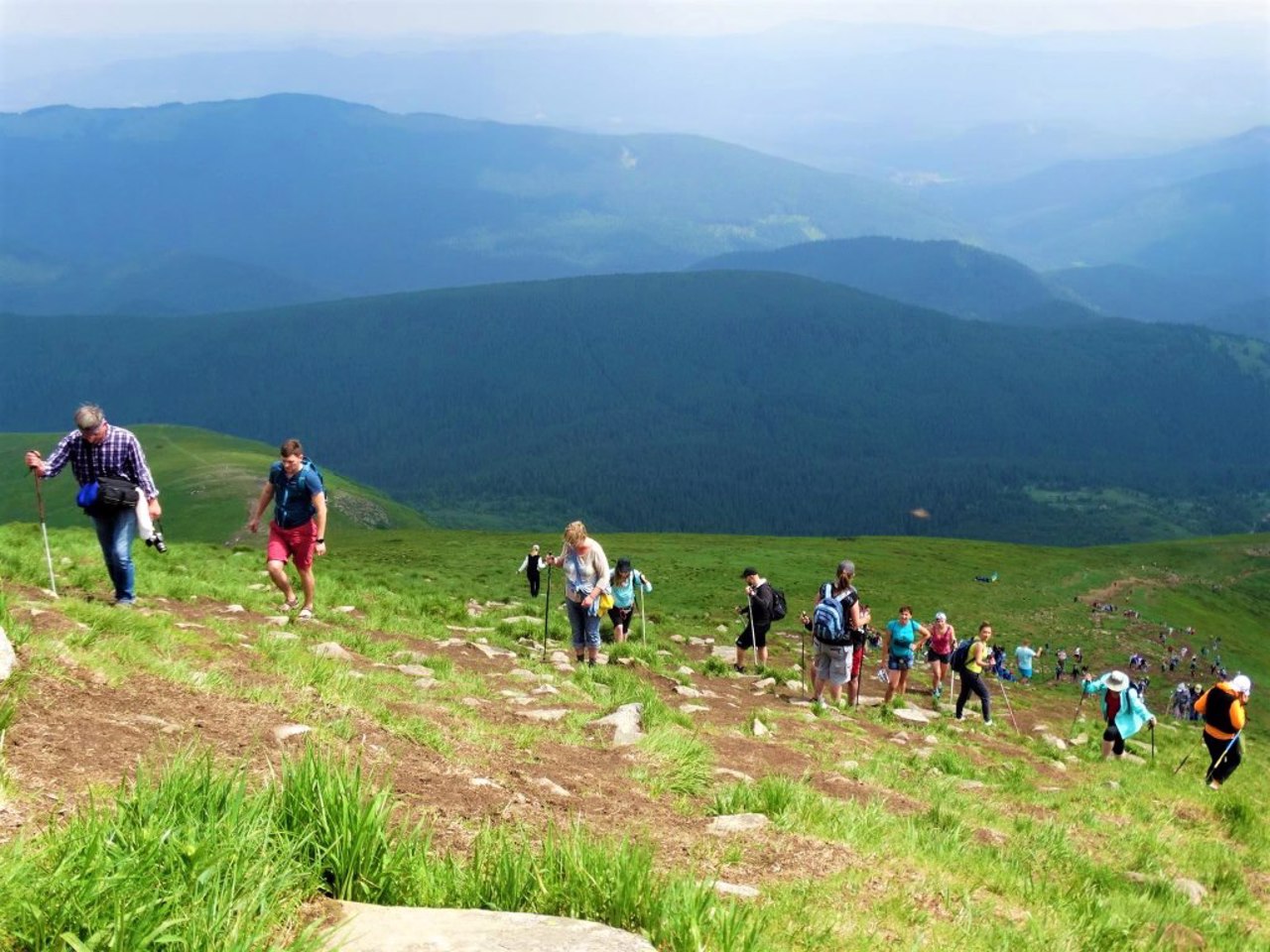
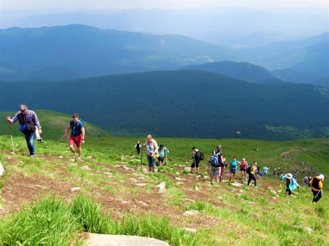
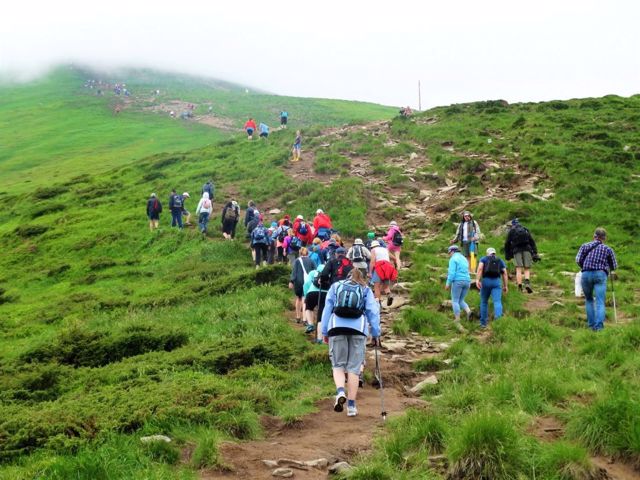
Mount Hoverla is located within the protected zone of the Carpathian State National Park. The easiest route to the top of Hoverla starts from the "Zaroslyak" camp. Another option is from the village of Lazeshchyna (near Yasinia). The route is marked, in summer the ascent is accessible to untrained tourists and does not require special mountaineering equipment. Registration with the control and rescue service is required. The ascent takes 2-3 hours, the descent takes an hour and a half.
Гора Говерла - найвища вершина України (2061 метрів), один із національних символів.
Знаходиться на кордоні Івано-Франківської та Закарпатської областей, належить гірському масиву Чорногора.
У перекладі з угорської назва означає "Снігова гора" (сніг на вершині часто лежить до середини літа). Гора Говерла має конусоподібну форму, вкрита альпійськими луками, чагарниковими пустками, трапляються кам'яні осипи. Вершина Говерли є невеликим майданчиком, з якого відкривається панорамний вид на весь чорногорський хребет, а вдалині видніється Мармарошський хребет, яким проходить кордон з Румунією. На вершині встановлений величезний хрест. Біля підніжжя - один з витоків річки Прут, водоспад.
...
Гора Говерла - найвища вершина України (2061 метрів), один із національних символів.
Знаходиться на кордоні Івано-Франківської та Закарпатської областей, належить гірському масиву Чорногора.
У перекладі з угорської назва означає "Снігова гора" (сніг на вершині часто лежить до середини літа). Гора Говерла має конусоподібну форму, вкрита альпійськими луками, чагарниковими пустками, трапляються кам'яні осипи. Вершина Говерли є невеликим майданчиком, з якого відкривається панорамний вид на весь чорногорський хребет, а вдалині видніється Мармарошський хребет, яким проходить кордон з Румунією. На вершині встановлений величезний хрест. Біля підніжжя - один з витоків річки Прут, водоспад.
Гора Говерла знаходиться в межах зони Карпатського державного національного парку, що охороняється. Найпростіший маршрут на вершину Говерли починається від турбази "Заросляк". Інший варіант – із селища Лазещина (біля Ясині). Маршрут маркований, влітку підйом доступний непідготовленим туристам і не потребує спеціального альпіністського спорядження. Необхідна реєстрація у контрольно-рятувальній службі. Сходження займає 2-3 години, спуск – півтори.
Practical information about Mount Hoverla (Vorokhta)
Last update
3/30/2025
| Categories | Active rest, Natural object |
|---|---|
| Address |
Chornohora tract
Vorokhta |
| Coordinates |
48.16027778° N, 24.50055556° E
|
| Additional services |
Аccessibility information
Have you visited Mount Hoverla in Vorokhta?
Add practical or descriptive information, photos, links
What to see, where to go next?

