Functional temporarily unavailable
Pyvykha Mountain, Hradyzk
Natural object
General information about Pyvykha Mountain (Hradyzk)
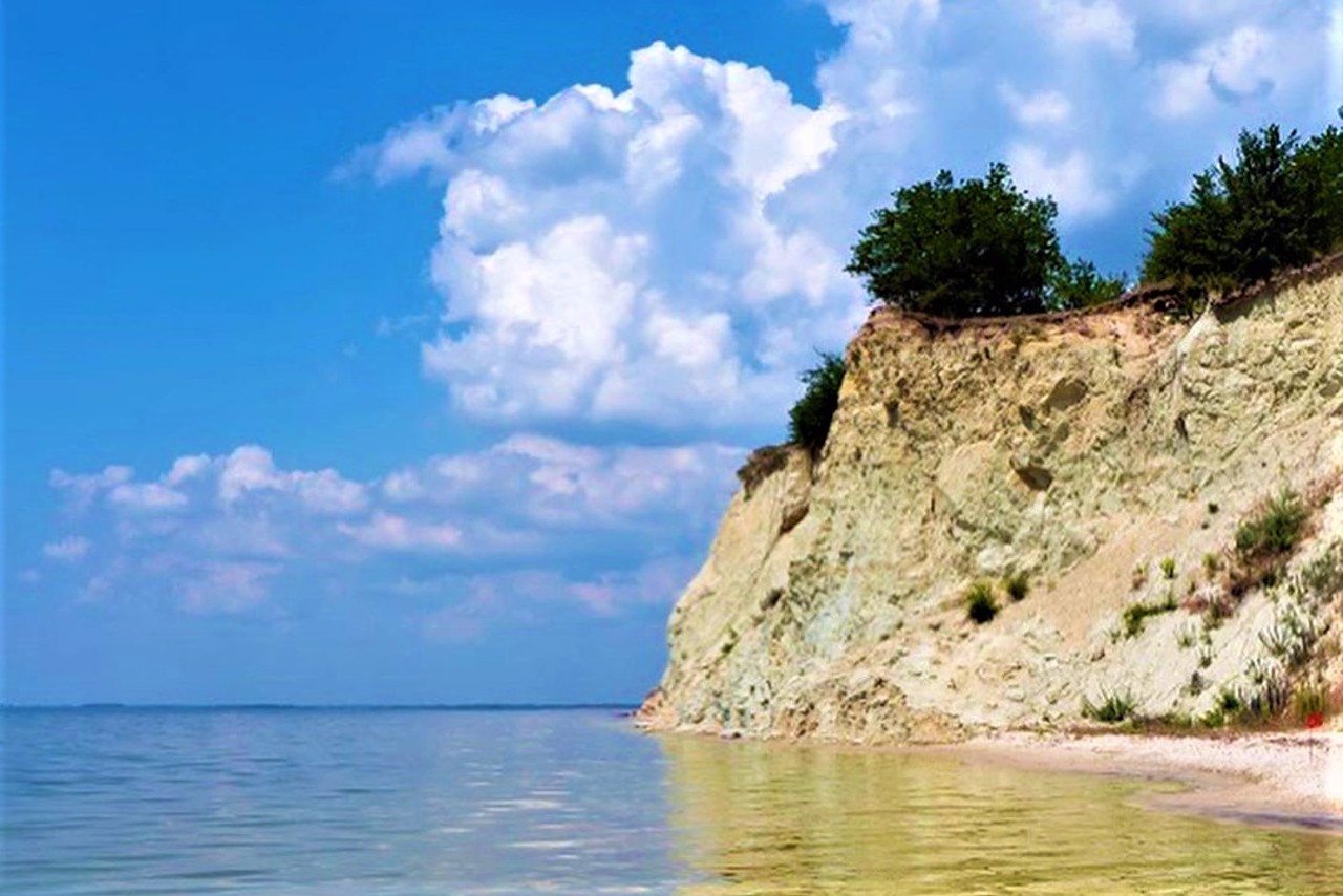
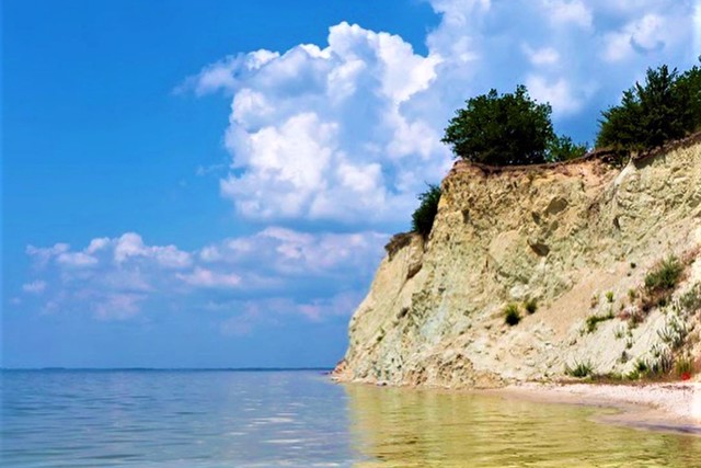
Pyvykha Mountain in Hradyzk on the banks of the Kremenchuk Reservoir is considered the highest point on the left bank of the Dnipro or the Dnipro Lowland (168 meters). It is sometimes mistakenly called the highest point of Left-Bank Ukraine.
It arose as a result of the onset of continental ice during the Ice Age. There are outcrops of blue marl - a rare highly calcareous clay used in construction.
It is believed that the name of the mountain is connected with the settlement that existed here in ancient times, which belonged to the boyars Pyva.
In the 16th century, the Pyvohorsky Monastery was founded, near which the settlement of Horodyshche, and later the present Hradyzk, arose.
After the construction of the Kremenchuk Reservoir, Mount Pyvykha is gradually colla ...
Pyvykha Mountain in Hradyzk on the banks of the Kremenchuk Reservoir is considered the highest point on the left bank of the Dnipro or the Dnipro Lowland (168 meters). It is sometimes mistakenly called the highest point of Left-Bank Ukraine.
It arose as a result of the onset of continental ice during the Ice Age. There are outcrops of blue marl - a rare highly calcareous clay used in construction.
It is believed that the name of the mountain is connected with the settlement that existed here in ancient times, which belonged to the boyars Pyva.
In the 16th century, the Pyvohorsky Monastery was founded, near which the settlement of Horodyshche, and later the present Hradyzk, arose.
After the construction of the Kremenchuk Reservoir, Mount Pyvykha is gradually collapsing. It is a historical and geological reserve.
Гора Пивиха в Градизьку на березі Кременчуцького водосховища вважається найвищою точкою лівого берега Дніпра або Придніпровської низовини (168 метрів). Іноді її помилково називають найвищою точкою Лівобережної України.
Гора виникла внаслідок настання материкових льодів під час Льодовикового періоду. Є виступи блакитного мергеля - рідкісної сильновапняної глини, яка використовується в будівництві.
Вважається, що назва гори пов'язана з поселенням, яке існувало тут у давнину, що належало боярам Пивам.
У XVI сторіччі було засновано Пивогорський монастир, біля якого виникло поселення Городище, а згодом нинішній Градизьк.
Після спорудження Кременчуцького водосховища гора Пивиха поступово руйнується. Є історико-геологічним заповідником.
Practical information about Pyvykha Mountain (Hradyzk)
Last update
4/9/2025
| Categories | Natural object |
|---|---|
| Address |
Kiltseva Street
Hradyzk |
| Coordinates |
49.1916094° N, 33.1285645° E
|
| Additional services |
Аccessibility information
Have you visited Pyvykha Mountain in Hradyzk?
Add practical or descriptive information, photos, links
What to see, where to go next?


