Functional temporarily unavailable
Catherine's mile, Voloske
Monument
General information about Catherine's mile (Voloske)
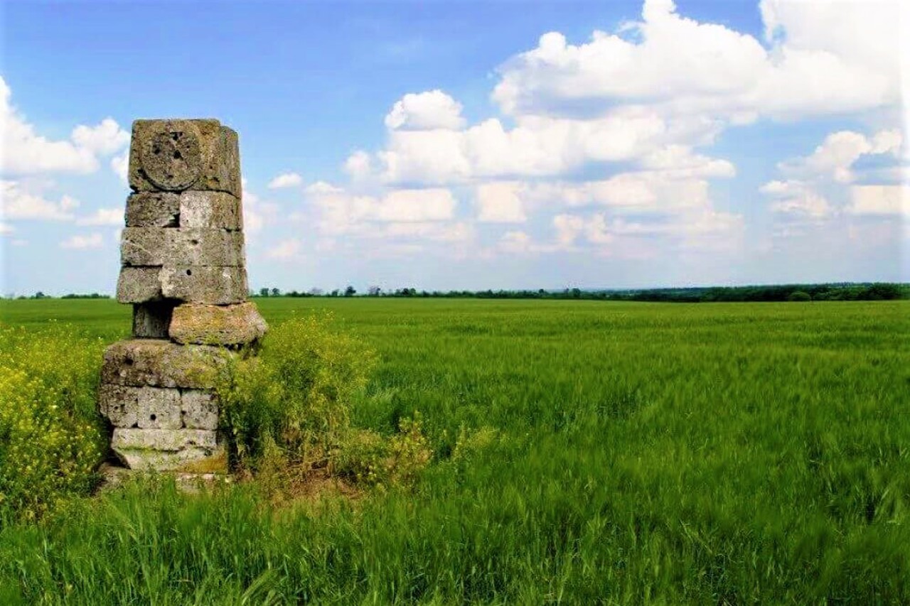
The Catherine's Mile in Voloske is a road sign established in 1784-1787 on the route of Empress Catherine the Great during her journey through Novorossiya to the Crimea.
Similar signs were placed by order of Prince Hryhoriy Potomkin on the path of Catherine every 10 versts.
Catherine's mile is the lower part of a column of the Tuscan order with a hexagonal intercept in the middle and a cone-shaped finish, installed on a square pedestal.
On the southern outskirts of the village of Voloske is one of the five Catherine's miles preserved in the territory of Ukraine. It is located at the exit from the village towards Maiorka.
Волоська Катерининська миля - дорожній знак, встановлений у 1784-1787 роках на маршруті прямування імператриці Катерини Великої під час її подорожі Новоросією до Криму.
Подібні знаки були розставлені за розпорядженням князя Григорія Потьомкіна на шляху Катерини через кожні 10 верст.
Катерининська миля являє собою нижню частину колони тосканського ордена з шестигранним перехопленням посередині і конусоподібним завершенням, встановлену на квадратному в плані постаменті.
На південній околиці села Волоське знаходиться одна з п'яти Катерининських миль, що збереглися на території України. Знаходиться на виїзді із села у бік Майорки.
Practical information about Catherine's mile (Voloske)
Last update
4/15/2025
| Categories | Monument |
|---|---|
| Date of foundation | 1784-1787 |
| Address |
Voloske |
| Coordinates |
48.29222222° N, 35.13722222° E
|
| Official site |
https://voloske.com.ua/places/... |
| Additional services |
Аccessibility information
Have you visited Catherine's mile in Voloske?
Add practical or descriptive information, photos, links
Catherine's mile (Voloske) in photos and videos
What to see, where to go next?


