Functional temporarily unavailable
Chameleon Cape, Koktebel
Natural object
General information about Chameleon Cape (Koktebel)
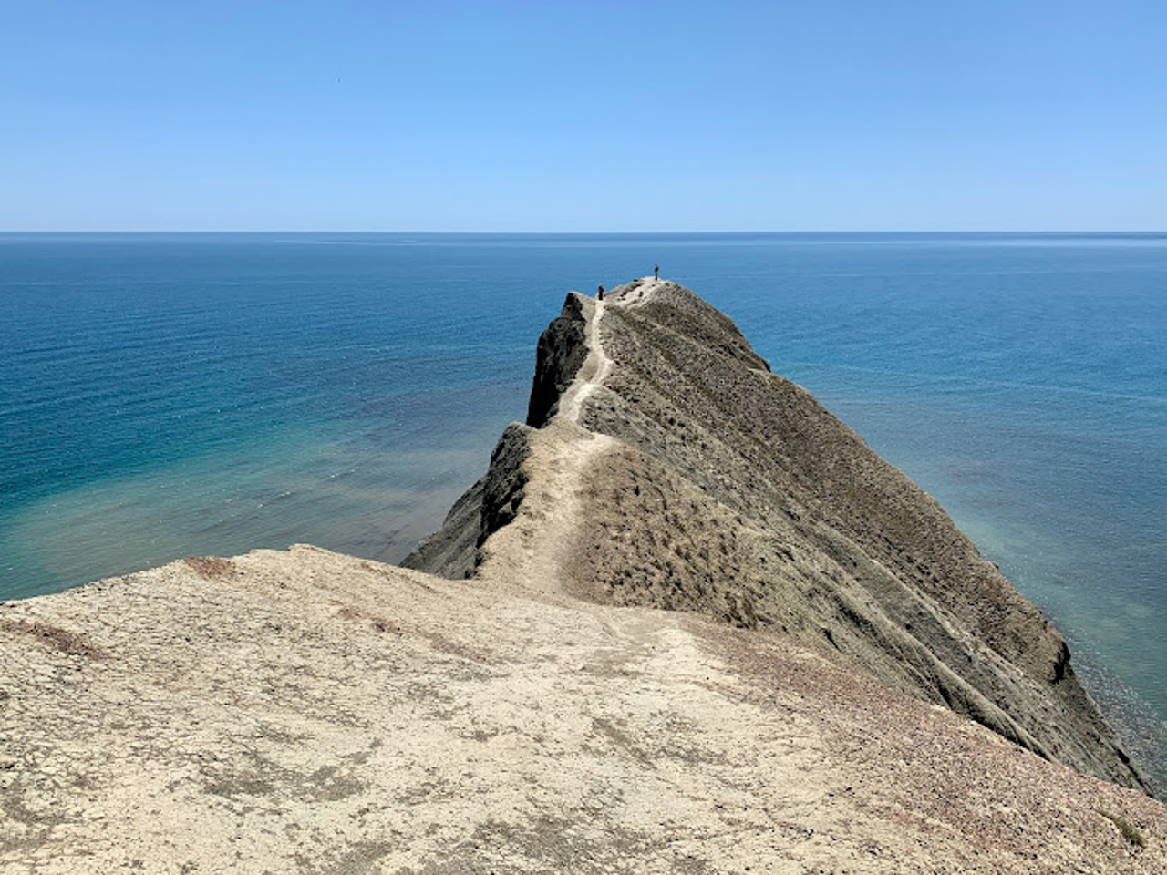
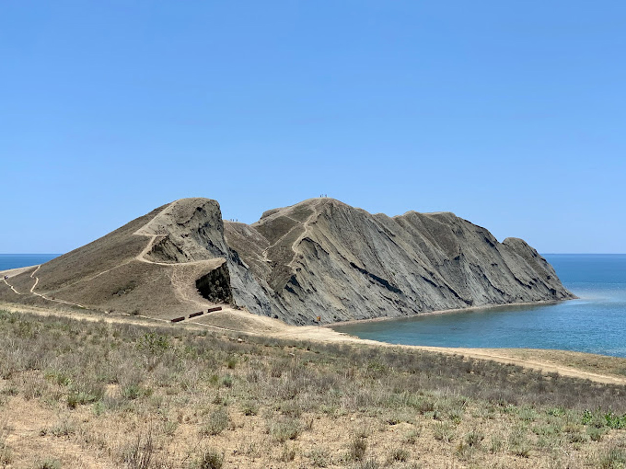
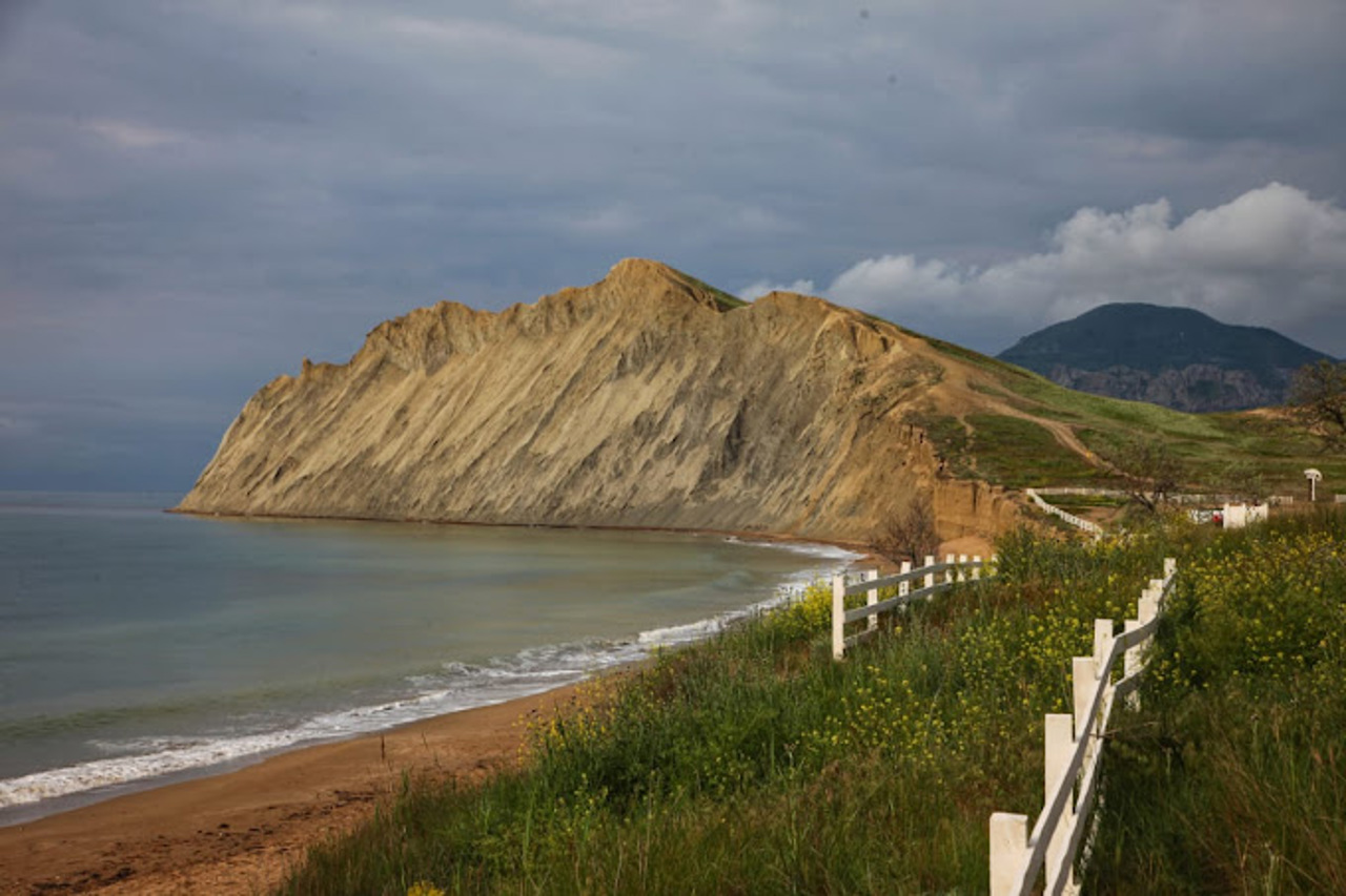
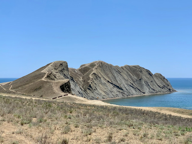
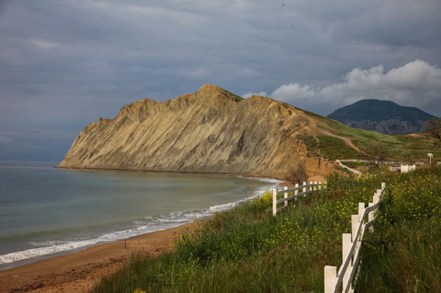
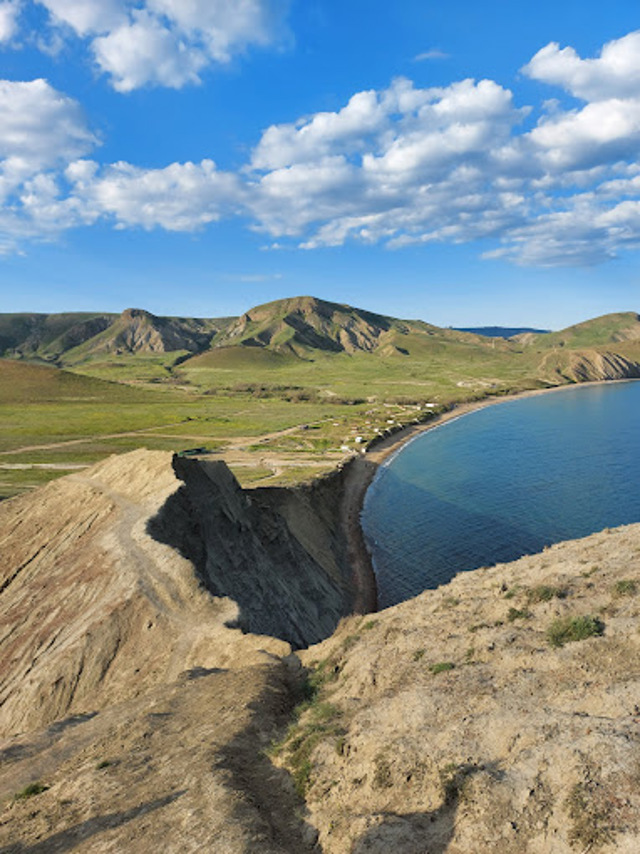
Cape Chameleon, which separates Tykha Bay from Koktebel Bay, got its name not so much because of its shape, but because of its ability to change color depending on the position of the sun, weather, lighting and season.
On modern maps, the cape is often called Tabirnyi, although there are no camps nearby. The original name of the cape is Toprak-Kaya or Toprakh-Kaya, which in Turkic means "mud rock" or "earthen rock".
Cape Chameleon has been known for a long time: its image is on many Italian sea maps of the 14th - 15th centuries, and there are descriptions of it in old Russian lotions.
Мис Хамелеон, який відокремлює Тиху бухту від Коктебельської затоки, отримав свою назву не стільки через форму, скільки через здатність змінювати колір залежно від положення сонця, від погоди, освітлення та пори року.
На сучасних картах мис часто називається Табірним, хоча жодних таборів поблизу немає. Споконвічна назва мису - Топрак-Кая або Топрах-Кая, що в перекладі з тюркської означає "скеля з бруду" або "земляна скеля".
Мис Хамелеон відомий давно: його зображення є на багатьох італійських морських картах XIV - XV сторічь, а в старих російських лоціях є його описи.
Practical information about Chameleon Cape (Koktebel)
Last update
5/23/2025
| Categories | Natural object |
|---|---|
| Address |
Chameleon cape
Koktebel |
| Coordinates |
44.964327° N, 35.295296° E
|
| Additional services |
Аccessibility information
Have you visited Chameleon Cape in Koktebel?
Add practical or descriptive information, photos, links
What to see, where to go next?

