Functional temporarily unavailable
Tsetsyno Mount, Chernivtsi
Historic area
Natural object
Archaeological site
General information about Tsetsyno Mount (Chernivtsi)
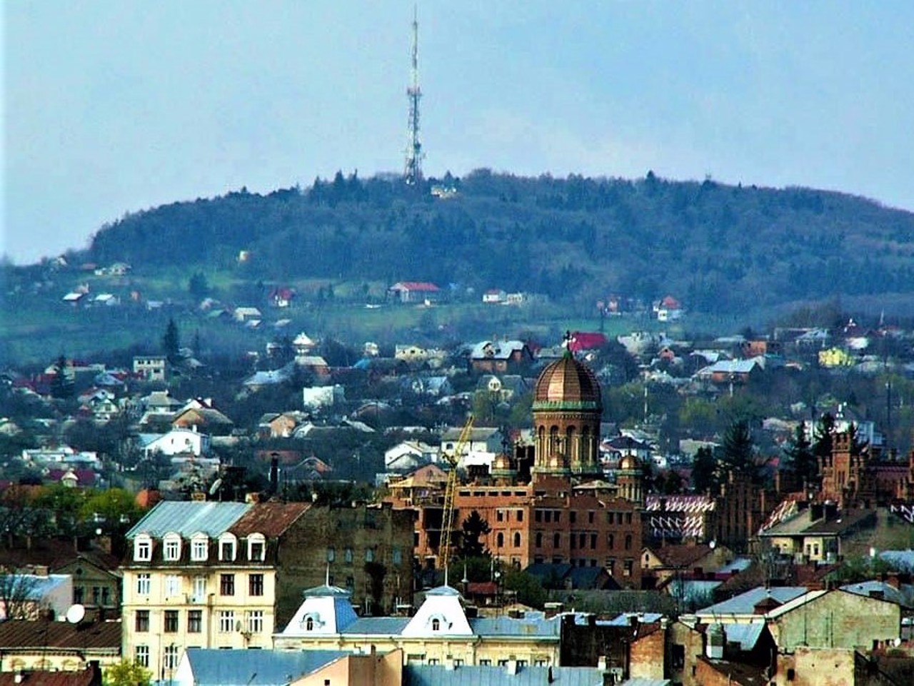
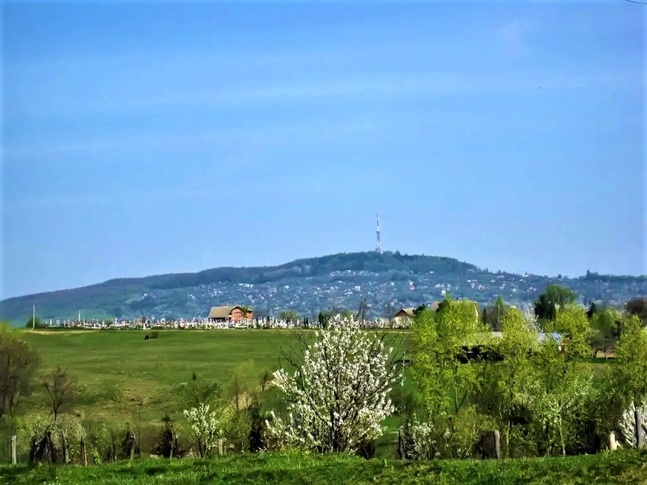
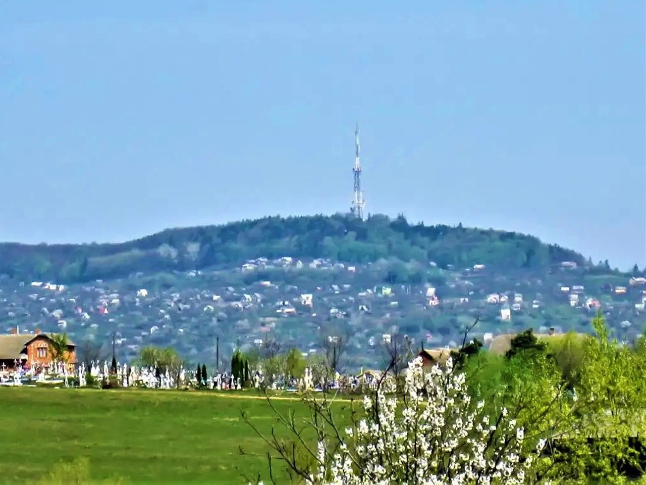
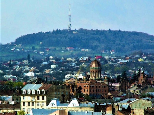
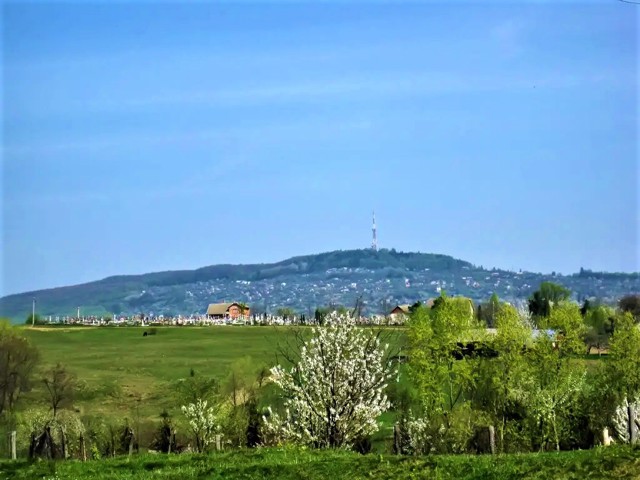
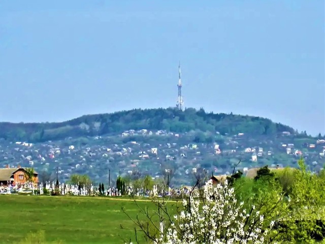
Mount Tsetsyno on the western outskirts of Chernivtsi is the highest point of the Chernivtsi highlands (378 meters).
In the Middle Ages, the Moldavian fortress of Tsetsyno stood on the top of the mountain, probably founded by the Halician princes, and then fortified by Peter I Mushat, the master of the Moldavian principality. It was mentioned in the Old Rus chronicles of 1388-1394 as the Wallachian city of Chechun.
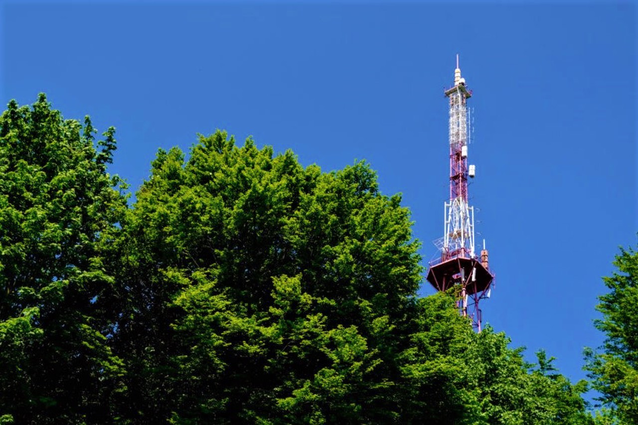
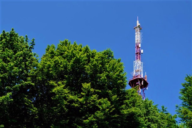
In the second half of the 15th century, the Tsetsyno fortress was destroyed. The ruins of the castle, which survived until the middle of the 20th century, were destroyed in 1961 during the construction of a television tower.
A beech reserve with an area of 430 hectares is located on the slopes of Tsetsyno. The Tsetsynsky landscape park was created here in 19 ...
Mount Tsetsyno on the western outskirts of Chernivtsi is the highest point of the Chernivtsi highlands (378 meters).
In the Middle Ages, the Moldavian fortress of Tsetsyno stood on the top of the mountain, probably founded by the Halician princes, and then fortified by Peter I Mushat, the master of the Moldavian principality. It was mentioned in the Old Rus chronicles of 1388-1394 as the Wallachian city of Chechun.
In the second half of the 15th century, the Tsetsyno fortress was destroyed. The ruins of the castle, which survived until the middle of the 20th century, were destroyed in 1961 during the construction of a television tower.
A beech reserve with an area of 430 hectares is located on the slopes of Tsetsyno. The Tsetsynsky landscape park was created here in 1974. There are oaks, sharp-leaved maples, sycamores, hornbeams and other rare plants, as well as "red book" animals: roe deer, wild boars, foxes, martens, squirrels, weasels, ermines.
Гора Цецино на західній околиці Чернівців - найвища точка Чернівецької височини (378 метрів).
У середньовіччі на вершині гори стояла молдавська фортеця Цецино, ймовірно, заснована ще галицькими князями, а потім укріплена господарем Молдавського князівства Петром I Мушатом. Згадувалась у давньоруських літописах 1388-1394 років як волоське місто Чечун.
В другій половині XV сторіччя Цецинська фортеця була зруйнована. Руїни замку, що збереглися до середини XX століття, були знищені в 1961 році при спорудженні телевежі.
На схилах Цецино розмістився буковий резерват площею 430 гектарів. Цецинський ландшафтний парк створили тут у 1974 році. Тут зустрічаються дуби, гостролисті клени, явори, граби та інші рідкісні рослини, а також "червонокнижні" тварини: козулі, каба ...
Гора Цецино на західній околиці Чернівців - найвища точка Чернівецької височини (378 метрів).
У середньовіччі на вершині гори стояла молдавська фортеця Цецино, ймовірно, заснована ще галицькими князями, а потім укріплена господарем Молдавського князівства Петром I Мушатом. Згадувалась у давньоруських літописах 1388-1394 років як волоське місто Чечун.
В другій половині XV сторіччя Цецинська фортеця була зруйнована. Руїни замку, що збереглися до середини XX століття, були знищені в 1961 році при спорудженні телевежі.
На схилах Цецино розмістився буковий резерват площею 430 гектарів. Цецинський ландшафтний парк створили тут у 1974 році. Тут зустрічаються дуби, гостролисті клени, явори, граби та інші рідкісні рослини, а також "червонокнижні" тварини: козулі, кабани, лисиці, куниці, білки, ласки, горностаї.
Practical information about Tsetsyno Mount (Chernivtsi)
Last update
5/28/2025
| Categories | Historic area, Natural object, Archaeological site |
|---|---|
| Address |
Biletska Street, 6
Chernivtsi |
| Coordinates |
48.29555556° N, 25.8425° E
|
| Additional services |
Аccessibility information
Have you visited Tsetsyno Mount in Chernivtsi?
Add practical or descriptive information, photos, links
What to see, where to go next?

