Functional temporarily unavailable
Pillboxs Stalin's Line, Murovani Kurylivtsi
Castle / fortress
General information about Pillboxs Stalin's Line (Murovani Kurylivtsi)
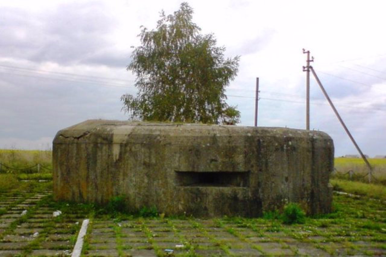
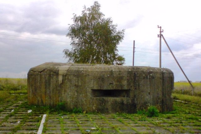
About ten Pillboxs (DOTs) from the Second World War have been preserved in the area of Murovani Kurylivtsi.
Not far from here was the northwestern edge of the 12th Mohyliv-Yampil District (MYUR), established in the 1930s on the then southwestern border of the USSR. It was part of the gigantic system of defensive structures of the "Stalin Line", which stretched from the Baltic to the Black Sea.
In July 1941, the MIAUR became the defense border of the 18th Army of the Southern Front. Divisions of the 17th Rifle Corps fought in the area of Murovani Kurylivtsi. After the Germans broke through the defenses to the north, the Soviet troops disarmed the DOTs and retreated to the east.
One of the DOTs is located at the entrance to the village from the Vinnytsia side n ...
About ten Pillboxs (DOTs) from the Second World War have been preserved in the area of Murovani Kurylivtsi.
Not far from here was the northwestern edge of the 12th Mohyliv-Yampil District (MYUR), established in the 1930s on the then southwestern border of the USSR. It was part of the gigantic system of defensive structures of the "Stalin Line", which stretched from the Baltic to the Black Sea.
In July 1941, the MIAUR became the defense border of the 18th Army of the Southern Front. Divisions of the 17th Rifle Corps fought in the area of Murovani Kurylivtsi. After the Germans broke through the defenses to the north, the Soviet troops disarmed the DOTs and retreated to the east.
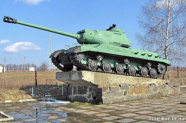
One of the DOTs is located at the entrance to the village from the Vinnytsia side next to the monument to the liberating soldiers - an IS-2 tank on a pedestal. Another DOT is located in front of the bridge over the Zhvan River, and the third is on the territory of the Komar estate.
Близько десяти ДОТів часів Другої світової війни збереглося в районі Мурованих Курилівців.
Неподалік звідси був північно-західний край 12-го Могилів-Ямпільського укріпрайону (МЯУР), зведеного у 1930-х роках на тодішньому південно-західному кордоні СРСР. Це була частина гігантської системи оборонних споруд "Лінії Сталіна", що простяглася від Балтики до Чорного моря.
У липні 1941 року МЯУР став кордоном оборони 18-ї армії Південного фронту. В районі Мурованих Курилівців бої вели дивізії 17-го стрілецького корпусу. Після того як німці прорвали оборону на північ, радянські війська роззброїли ДОТи і відступили на схід.
Один із ДОТів знаходиться на в'їзді до селища з боку Вінниці поряд із пам'ятником воїнам визволителям – танком ІС-2 на постаменті. Ще ...
Близько десяти ДОТів часів Другої світової війни збереглося в районі Мурованих Курилівців.
Неподалік звідси був північно-західний край 12-го Могилів-Ямпільського укріпрайону (МЯУР), зведеного у 1930-х роках на тодішньому південно-західному кордоні СРСР. Це була частина гігантської системи оборонних споруд "Лінії Сталіна", що простяглася від Балтики до Чорного моря.
У липні 1941 року МЯУР став кордоном оборони 18-ї армії Південного фронту. В районі Мурованих Курилівців бої вели дивізії 17-го стрілецького корпусу. Після того як німці прорвали оборону на північ, радянські війська роззброїли ДОТи і відступили на схід.
Один із ДОТів знаходиться на в'їзді до селища з боку Вінниці поряд із пам'ятником воїнам визволителям – танком ІС-2 на постаменті. Ще один ДОТ розташований перед мостом через річку Жван, а третій – на території садиби Комарів.
Practical information about Pillboxs Stalin's Line (Murovani Kurylivtsi)
Last update
6/3/2025
| Categories | Castle / fortress |
|---|---|
| Date of foundation | 1931-1938 |
| Address |
Vinnytske highway
Murovani Kurylivtsi |
| Coordinates |
48.7110944° N, 27.5461666° E
|
| Additional services |
Аccessibility information
Have you visited Pillboxs Stalin's Line in Murovani Kurylivtsi?
Add practical or descriptive information, photos, links
What to see, where to go next?


