Functional temporarily unavailable
Tarkhankut Hillfort, Olenivka
Archaeological site
General information about Tarkhankut Hillfort (Olenivka)
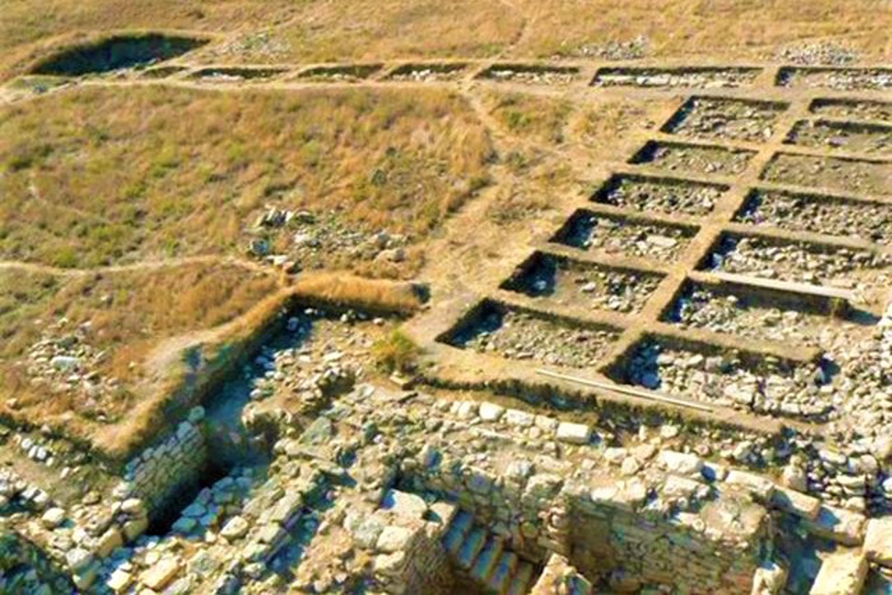
The Tarkhankut (Karadzhyn) Hillfort in Olenivka is located on the northern shore of the Tarkhankut estuary and is washed by water.
Presumably, in this place, in the 3rd century BC - 2nd century AD, there was a rich ancient settlement of Tamiraka, which in later times lost its polis self-government and later turned into an ordinary coastal fortification.
The area of the Tarkhankut Hillfort is 5 hectares.
Тарханкутське (Караджинське) городище в Оленівці розташоване на північному березі Тарханкутського лиману і підмивається водою.
Імовірно, на цьому місці в Ill столітті до нашої ери - ІІ століттериі нашої існувало багате античне поселення Тамірака, яке в пізні часи втратило своє полісне самоврядування і надалі перетворилося на звичайне берегове укріплення.
Площа Тарханкутського городища складає 5 гектарів.
Practical information about Tarkhankut Hillfort (Olenivka)
Last update
6/25/2025
| Categories | Archaeological site |
|---|---|
| Date of foundation | Ill century BC - II century AD |
| Address |
Yeliseyeva Street
Olenivka |
| Coordinates |
45.3847337° N, 32.525501° E
|
| Additional services |
Аccessibility information
Have you visited Tarkhankut Hillfort in Olenivka?
Add practical or descriptive information, photos, links
Tarkhankut Hillfort (Olenivka) in photos and videos
What to see, where to go next?


