Functional temporarily unavailable
Attractions of Ukraine
Attractions region
Attractions Mykolaiv region
Attractions Pervomaisk district
Attractions Myhiia
National Nature Park "Buzkyi Gard"
National Nature Park "Buzkyi Gard", Myhiia
Natural object
Reserve
General information about National Nature Park "Buzkyi Gard" (Myhiia)
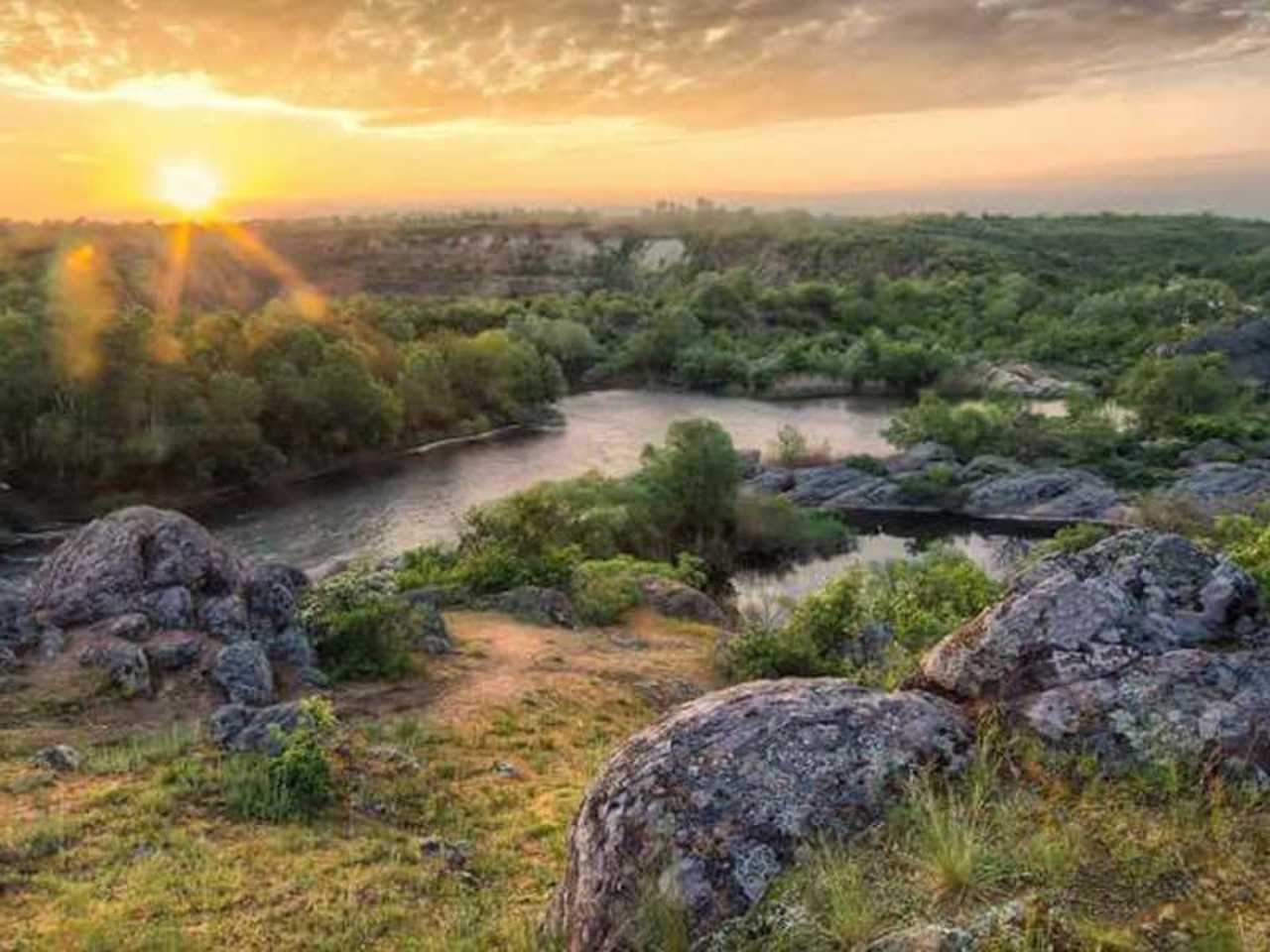
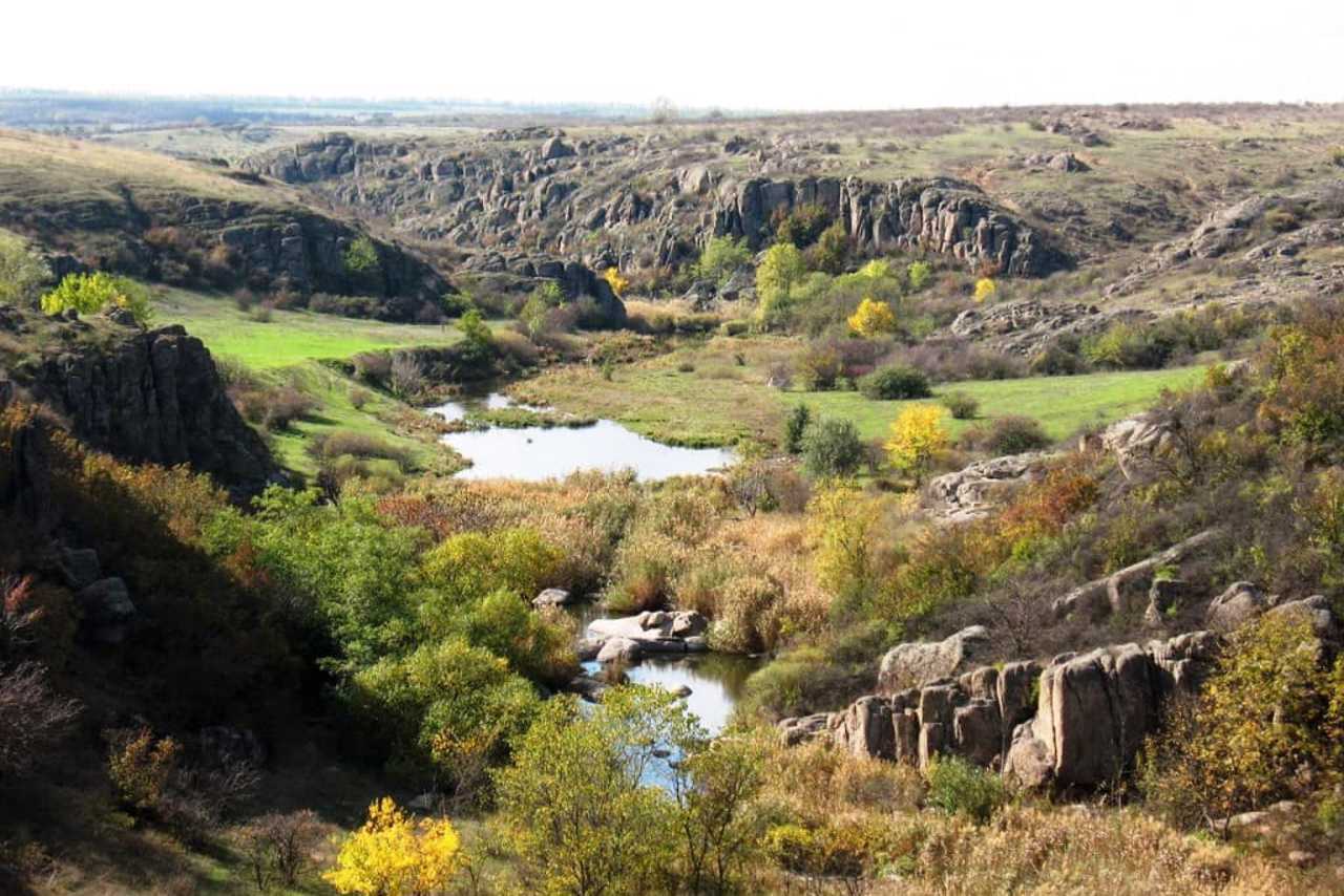
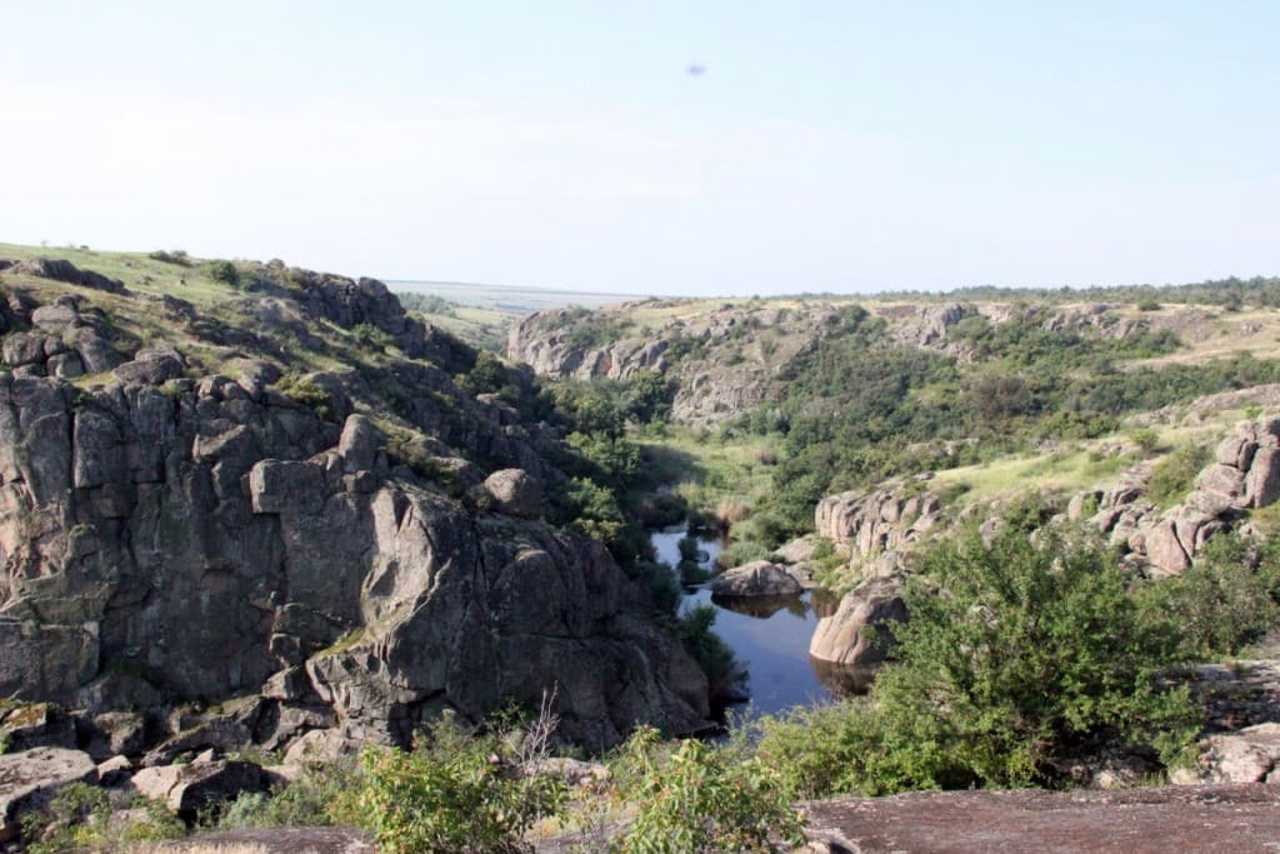
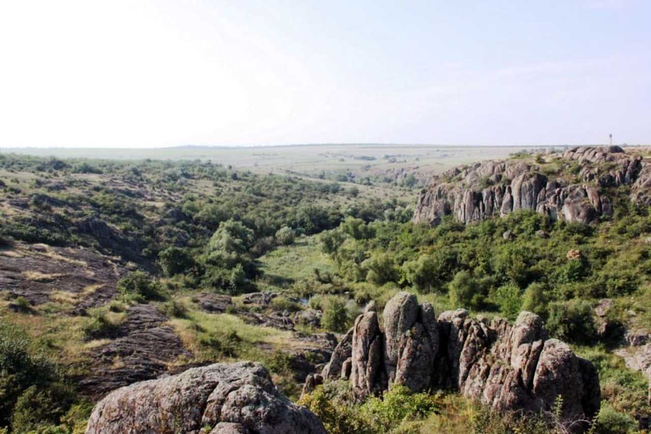
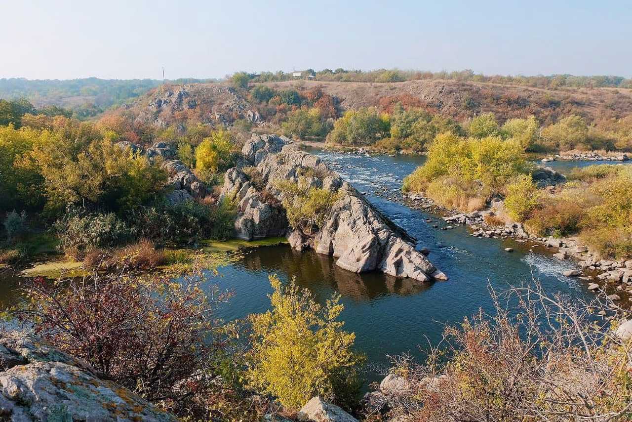
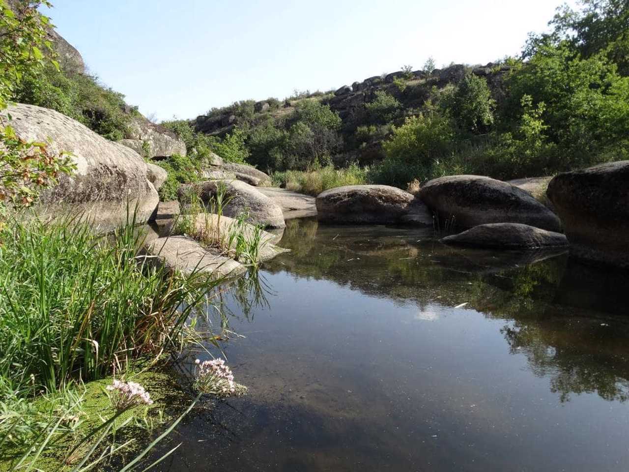
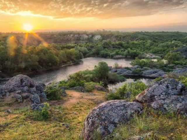
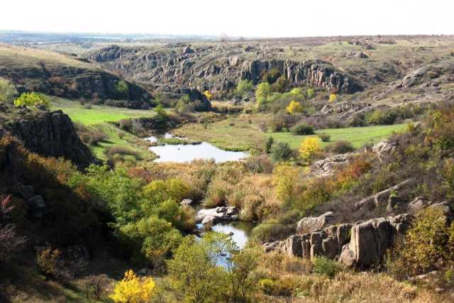
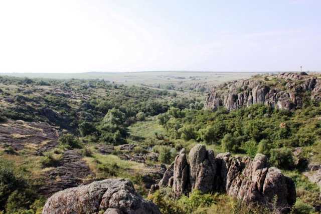
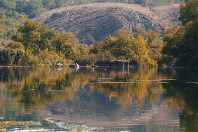
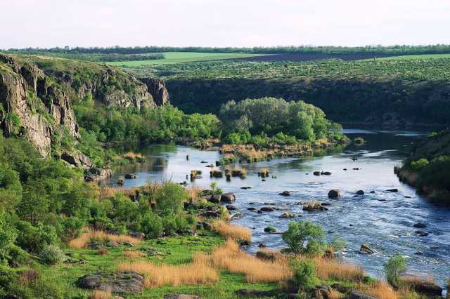
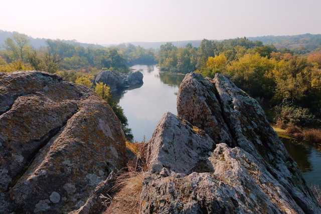
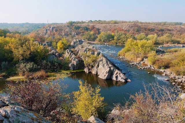
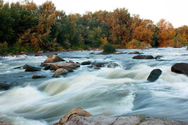
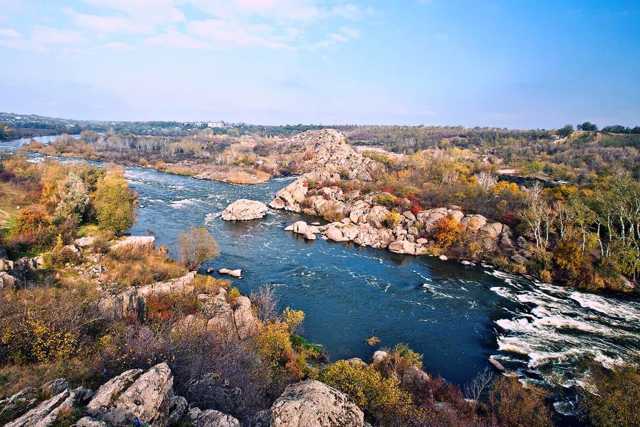
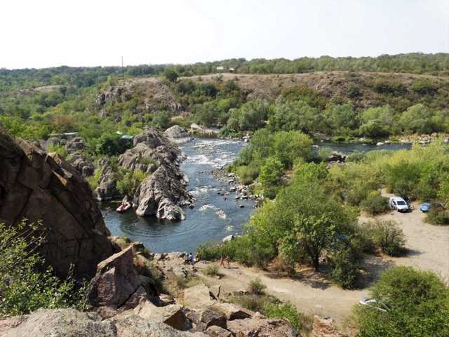
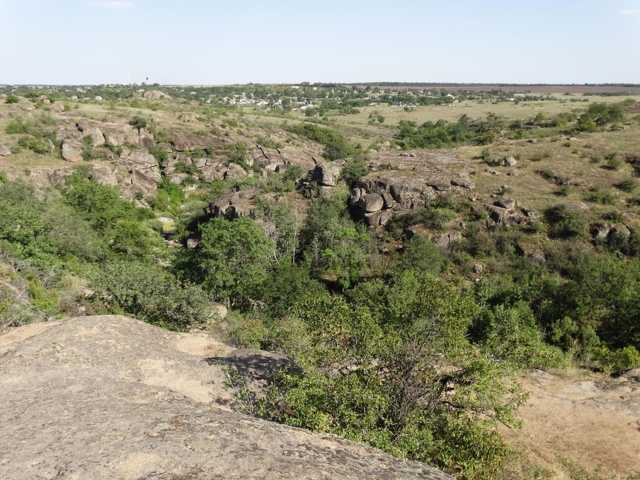
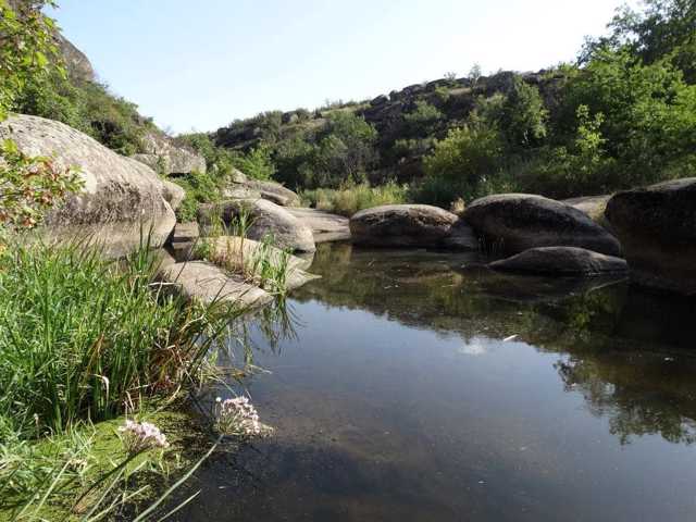
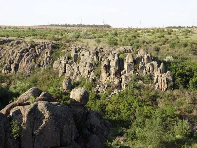
The national nature park "Buzkyi Gard" stretches from the outskirts of the village of Myhiia for 40 kilometers along the Pivdenniy Buh to the village of Oleksandrivka. Its area is 6,138 hectares within Voznesensk and Pervomaysk districts of Mykolaiv region.
The creation of a national nature park on the basis of the regional landscape park "Granite-Steppe Pobuzhzhya" began in 2004 as part of the implementation of the World Environmental Fund - International Bank for Reconstruction and Development project "Biodiversity Conservation in the Azov-Black Sea Corridor".
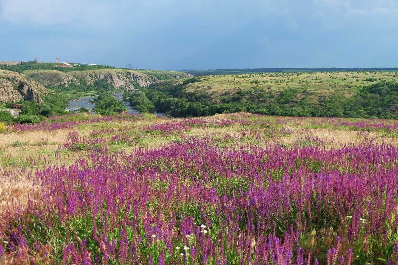
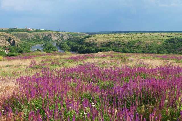
The local flora includes 900 plant species, 26 of which are included in the Red Book of Ukraine, 4 - in the European Red List.
The territory of the national nature park "Buzky ...
The national nature park "Buzkyi Gard" stretches from the outskirts of the village of Myhiia for 40 kilometers along the Pivdenniy Buh to the village of Oleksandrivka. Its area is 6,138 hectares within Voznesensk and Pervomaysk districts of Mykolaiv region.
The creation of a national nature park on the basis of the regional landscape park "Granite-Steppe Pobuzhzhya" began in 2004 as part of the implementation of the World Environmental Fund - International Bank for Reconstruction and Development project "Biodiversity Conservation in the Azov-Black Sea Corridor".
The local flora includes 900 plant species, 26 of which are included in the Red Book of Ukraine, 4 - in the European Red List.
The territory of the national nature park "Buzkyi Gard" coincides with the border of 1658 between the Ottoman Porte (Turkey) and the liberties of the Zaporizhzhia Nizove Army. In fact, the left bank of the Granitno-steppe Pobuzhzhya coincides with the boundary of the Buho-Hardova palanka of the Zaporizhzhia Army as of 1734. For more than three hundred years, the territory where the National Nature Park "Buzkyi Gard" was created was controlled by the Zaporozhzhians. Their administrative and economic center was located near the confluence of the Tashlyk River with the Pivdenniy Buh, on Gard Island, where a military camp with Cossack huts of up to 500 people was located. The facilities for catching fish were called gardas on Pivdenniy Buh. Such guards existed both in the Guard tract itself and in other areas on the Buh, where Zaporozhzhian winterers were located. Gards, as a method of fishing, existed in this area until 1945. Accordingly, this name first spread to the surrounding areas: Gardovy Island, Gardova Balka, the village of Gardove (now the village of Bohdanivka), Stariy Gard, Gardovy Shlyach.
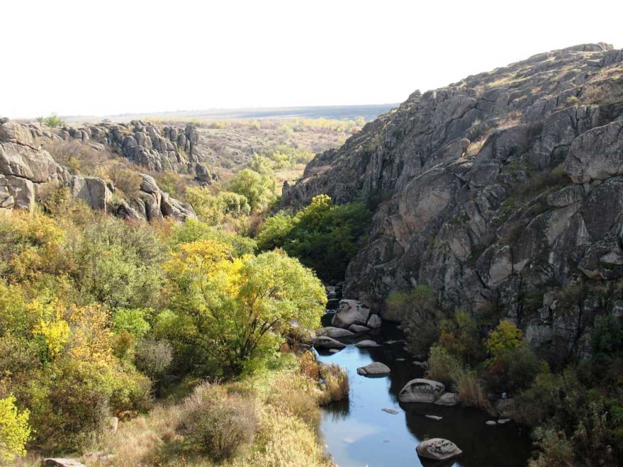
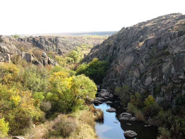
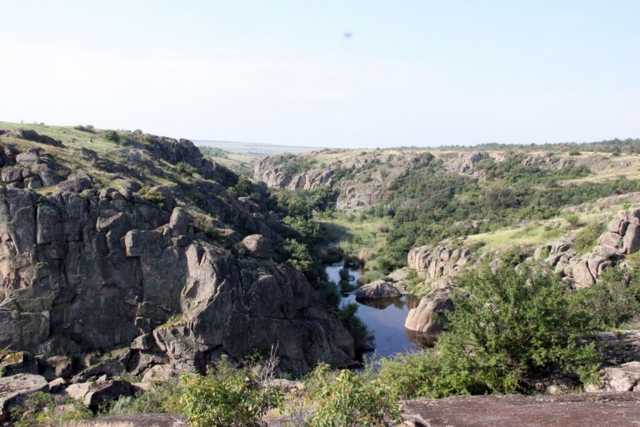
Aktove Canyon on the Mertvovod River and the adjacent Arbuzynsky (Maly Aktove) canyon on the Arbuzinka River are a separate part of the "Buzkiy Gard" National Nature Park.
Національний природний парк "Бузький Гард" простягається від околиць села Мигія на 40 кілометрів вздовж Південного Бугу до села Олександрівка. Його площа становить 6138 гектарів в межах Вознесенського та Первомайського районів Миколаївської області.
Створення національного природного парку на базі регіонального ландшафтного парку "Гранітно-степове Побужжя" розпочалось в 2004 році в рамках впровадження проєкту Всесвітнього екологічного фонду – Міжнародного банку реконструкції та розвитку "Збереження біорозмаїття в Азово-Чорноморському коридорі".
У складі місцевої флори налічується 900 видів рослин, 26 з яких занесені до Червоної книги України, 4 – до Європейського Червоного списку.
Територія національного природного парку " ...
Національний природний парк "Бузький Гард" простягається від околиць села Мигія на 40 кілометрів вздовж Південного Бугу до села Олександрівка. Його площа становить 6138 гектарів в межах Вознесенського та Первомайського районів Миколаївської області.
Створення національного природного парку на базі регіонального ландшафтного парку "Гранітно-степове Побужжя" розпочалось в 2004 році в рамках впровадження проєкту Всесвітнього екологічного фонду – Міжнародного банку реконструкції та розвитку "Збереження біорозмаїття в Азово-Чорноморському коридорі".
У складі місцевої флори налічується 900 видів рослин, 26 з яких занесені до Червоної книги України, 4 – до Європейського Червоного списку.
Територія національного природного парку "Бузький Гард" співпадає з кордоном 1658 року між Отоманською Портою (Туреччиною) та вольностями Війська Запорозького Низового. Фактично лівобережжя Гранітно-степового Побужжя співпадає з межею Буго-Гардової паланки Війська Запорозького станом на 1734 рік. Понад триста років територія, де створений Національний природний парк "Бузький Гард", контролювалась запорожцями. Їхній адміністративно-господарський центр знаходився біля злиття річки Ташлик із Південним Бугом, на острові Гард, де був розташований військовий табір з козацькими куренями до 500 осіб. Гардами на Південному Бузі називали споруди для вилову риби. Такі гарди існували як в самому Гардовому урочищі, так і в інших місцевостях на Бузі, де знаходились запорозькі зимівники. Гарди, як спосіб вилову риби проіснували в цій місцевості до 1945 року. Відповідно ця назва поширилась спочатку на прилеглі місцевості: острів Гардовий, Гардова балка, село Гардове (нині село Богданівка), Старий Гард, Гардовий шлях.
Відокремленою частиною національного природного парку "Бузький Гард" є Актівський каньйон на річці Мертвовід і розташований поряд з ним Арбузинський (Малий Актівський) каньйон на річці Арбузинка.
Practical information about National Nature Park "Buzkyi Gard" (Myhiia)
Last update
8/3/2025
| Categories | Natural object, Reserve |
|---|---|
| Date of foundation | 2004 |
| Address |
Turystychna Street
Myhiia |
| Coordinates |
48.03323° N, 30.95231° E
|
| Phone | +380 67 105 3985, +380 5161 61 370, +380 5161 75 549, |
| nppbg@ukr.net | |
| Official site |
https://buzkiy-gard.com.ua |
| Additional services |
Аccessibility information
Have you visited National Nature Park "Buzkyi Gard" in Myhiia?
Add practical or descriptive information, photos, links
What to see, where to go next?

