Functional temporarily unavailable
Attractions of Ukraine
Attractions region
Attractions Kyiv region
Attractions Obukhiv district
Attractions Rzhyshchiv
Ivan-Hora Tract (Ivan-Hill)
Ivan-Hora Tract (Ivan-Hill), Rzhyshchiv
Natural object
Historic area
General information about Ivan-Hora Tract (Ivan-Hill) (Rzhyshchiv)
The tract of Ivan-hora (Ivan-hill ) is located on the bank of the Dnipro on the southeastern outskirts of Rzhyshchiv, to the right of the pier.
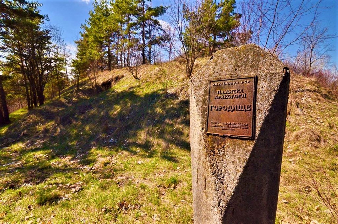
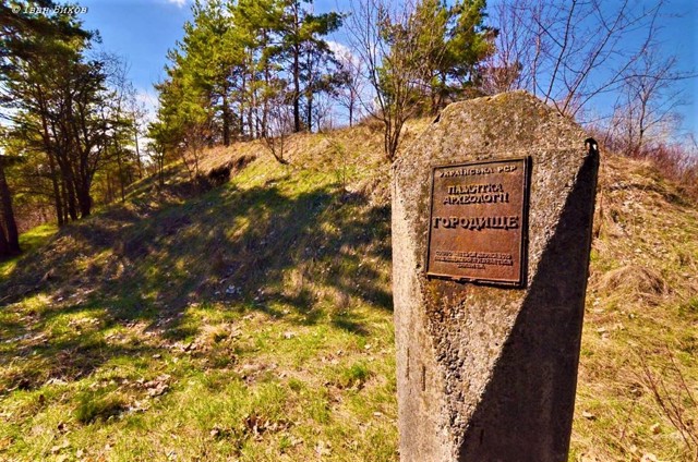
On the top of the 174-meter-high mountain, an ancient Rus settlement of the 11th-13th centuries was discovered in the 19th century, identified with the historical fortress city of Ivan (mentioned in the Ipatiev Chronicle in 1151). Remains of wooden fortifications were found.
In the 16th century, a Polish fortress was built on Ivan-hora, which in 1663 was used by the troops of King Yan Kazymyr as a bridgehead for the invasion of the Left Bank (according to one version, the mountain bears the name of King Yan (Ivan).
After the construction of the Kaniv HPP ...
The tract of Ivan-hora (Ivan-hill ) is located on the bank of the Dnipro on the southeastern outskirts of Rzhyshchiv, to the right of the pier.
On the top of the 174-meter-high mountain, an ancient Rus settlement of the 11th-13th centuries was discovered in the 19th century, identified with the historical fortress city of Ivan (mentioned in the Ipatiev Chronicle in 1151). Remains of wooden fortifications were found.
In the 16th century, a Polish fortress was built on Ivan-hora, which in 1663 was used by the troops of King Yan Kazymyr as a bridgehead for the invasion of the Left Bank (according to one version, the mountain bears the name of King Yan (Ivan).
After the construction of the Kaniv HPP, the process of erosion and washing of the mountain by the waters of the Kaniv Reservoir began.
Урочище Іван-гора знаходиться на березі Дніпра на південно-східній околиці Ржищева, праворуч від пристані.
На вершині гори заввишки 174 метри у XIX столітті відкрито давньоруське городище XI-XIII сторічь, ототожнюване з літописним містом-фортецею Іван (згадане в Іпатіївському літописі в 1151 році). Знайдено залишки дерев'яних укріплень.
В XVI столітті на Іван-горі було споруджено польську фортецю, яку в 1663 році використовували війська короля Яна Казимира як плацдарм для вторгнення на Лівобережжя (за однією з версій, гора носить ім'я короля Яна (Івана).
Після спорудження Канівської ГЕС розпочався процес ерозії та підмивання гори водами Канівського водосховища.
Practical information about Ivan-Hora Tract (Ivan-Hill) (Rzhyshchiv)
Last update
8/20/2025
| Categories | Natural object, Historic area |
|---|---|
| Date of foundation | XI-XIII centuries |
| Address |
Osvity Street
Rzhyshchiv |
| Coordinates |
49.9739° N, 31.0812° E
|
| Additional services |
Аccessibility information
Have you visited Ivan-Hora Tract (Ivan-Hill) in Rzhyshchiv?
Add practical or descriptive information, photos, links
Ivan-Hora Tract (Ivan-Hill) (Rzhyshchiv) in photos and videos
What to see, where to go next?


