Functional temporarily unavailable
Settlements
Khmelnytskyi region
Cities and villages of
Khmelnytskyi region
Online travel guide to the settlements of
Khmelnytskyi region

Districts of Khmelnytskyi region
Kamyanets-Podilskyi district
Kamianets-Podilskyi district is located in the southern part of Khmelnytsky region, in the historical and ethnographic region of Podillya. The southern border runs along the Dniester River, and the western - along Zbruch. The Smotrych and Ushytsia rivers flow within the district.
The area is crossed by the Tovtry ridge, which are the remains of an ancient barrier reef.... Read more
Kamianets-Podilskyi district is located in the southern part of Khmelnytsky region, in the historical and ethnographic region of Podillya. The southern border runs along the Dniester River, and the western - along Zbruch. The Smotrych and Ushytsia rivers flow within the district.
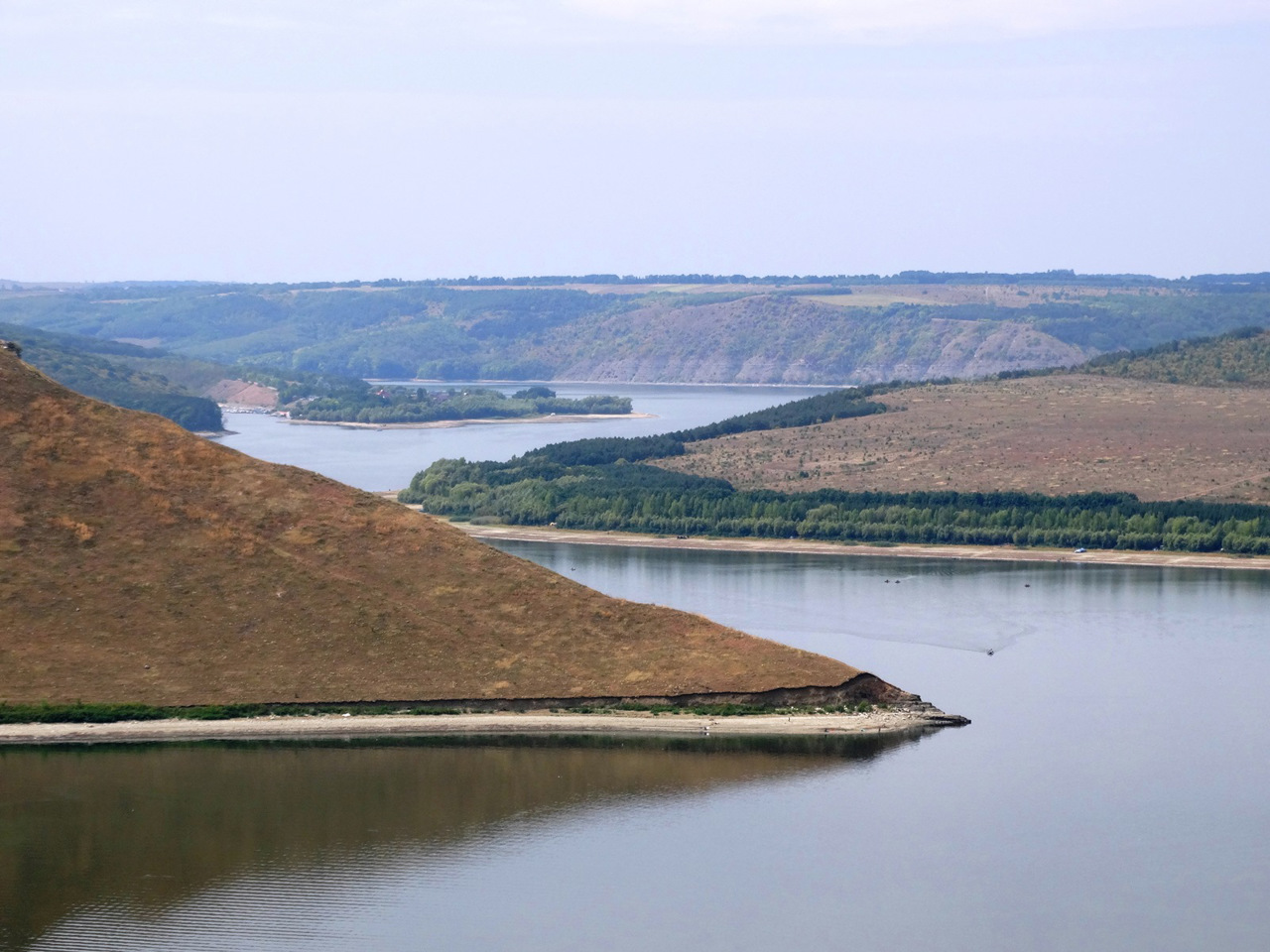
The area is crossed by the Tovtry ridge, which are the remains of an ancient barrier reef. These natural complexes with the historical and cultural monuments available here are protected by the Podilski Tovtry National Nature Park. It includes the Bay of Bakota, Kytaihorod outcrop, Tovtra Samovita, Karmalyukova mountain, Atlantis Cave and other natural monuments. You can find out more about Bakota rest, accommodation and entertainment at bakota.com.ua.
On one of the meanders of the Smotrytsky canyon is the Old Town of Kamianets-Podilskyi, the administrative center of Kamianets-Podilskyi district, one of the most popular tourist centers in Ukraine. Its unique Renaissance architectural complex consists of the Old Castle with the Turkish Bridge, the Polish Magistrate, the Peter and Paul Cathedral, the Dominican Monastery, the Trinitarian Monastery, the Trinity Basilian Monastery, the bell tower of the Armenian Church, the defensive towers and gates. The city regularly hosts various festivals, including a balloon festival.
Among other historical and cultural monuments of Kamianets-Podilsky district: Zhvanetsky Castle, Panovetsky Castle, Chornokozynsky Castle, Orlovsky Palace and Malievetsky Park, Scybor-Markhotsky Estate in Otrokiv, Ratsyborovsky Estate with Mikhailovsky Park in Makiv, etc.
The area of the district is more than 4520 square kilometers. The population of the district exceeds 290 thousand people.
The Kamianets-Podilsky district consists of 336 settlements, which are united into 15 territorial hromadas: Dunaievetska and Kamianets-Podilska city hromadas, Zakupnenska, Novodunaievetska, Smotrytska, Staroushytska and Chemerovetska settlement hromadas, Hukivska, Humenetska, Zhvanetska, Kytaihorodska, Makivska, Novoushytska, Orynynska and Slobidsko-Kulchiievetska village territorial hromadas.
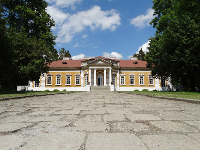
Khmelnytskyi district
Khmelnytskyi district is located in the central part of Khmelnytskyi region, in the historical and ethnographic region of Podillya. The western border runs along the river Zbruch.
On the territory of the Verkhne Pobuzhzhya National Nature Park, the second longest river in Ukraine, the Southern Bug, originates within the district, and the Sluch River also flows here. Pa... Read more
Khmelnytskyi district is located in the central part of Khmelnytskyi region, in the historical and ethnographic region of Podillya. The western border runs along the river Zbruch.
On the territory of the Verkhne Pobuzhzhya National Nature Park, the second longest river in Ukraine, the Southern Bug, originates within the district, and the Sluch River also flows here. Part of the Podilsky Tovtry National Nature Park is the Satanivsky Forest Reserve, where one of the massifs of Beech virgin forests of the Carpathians, which are included in the UNESCO world heritage, is located.
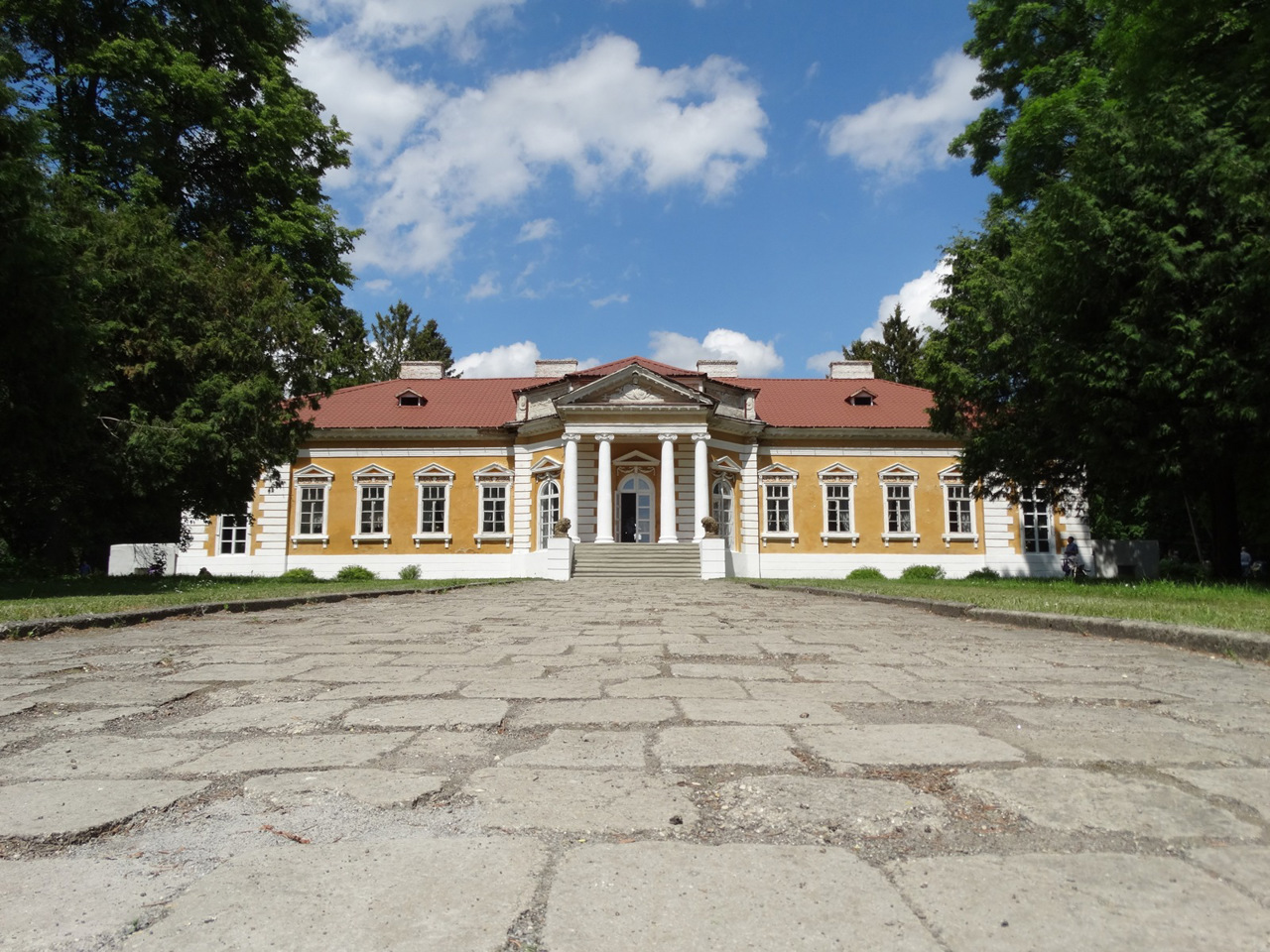
Approximately in this area in ancient times the historical and geographical region Bolokhiv land was located (archeological excavations are carried out on the Hubinsky settlement). On the territory of the district there are such historical and cultural monuments as the State Historical and Cultural Reserve "Mezhybizh", the State Historical and Cultural Reserve "Samchyky", Ostroh Castle in Starokostiantynivsky, Satanivsky Castle and Synagogue in Sataniv, Dominican Monastery and Church of the Assumption Letychiv, Holy Intercession Church-fortress in Sutkivtsi. The village of Zinkiv is famous for its original embroidered shirt, craft bread and black Zinkivska sausages.
Khmelnytskyi district is one of the largest in Ukraine. Its area exceeds 10,755 square kilometers. The population of the district reaches 687 thousand people. The administrative center of the district is the city of Khmelnytskyi, an important transport and trade center.
Khmelnytskyi district includes a record 749 settlements within 27 territorial hromadas: Volochyska, Horodotska, Derazhnianska, Krasylivska, Starokostiantynivska and Khmelnytska city hromadas, Antoninska, Viitovetska, Vinkovetska, Vovkovynetska, Letychivska, Narkevytska, Medzhybizka, Satanivska, Starosyniavska, Teofipolska, Chornoostrivska and Yarmolynetska settlement hromadas, Hvardiiska, Zasluchnenska, Zinkivska, Lisovohrynivetska, Myroliubnenska, Rozsoshanska, Solobkovetska, Staroostropilska and Shchyborivska village territorial hromadas.
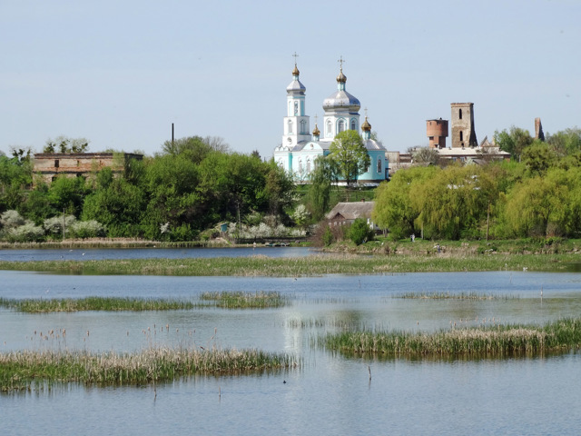
Shepetivka district
Shepetivka district (Shepetivskyi) is located in the northern part of Khmelnytskyi region, on the border of historical and ethnographic regions of Volyn and Podillya. The Horyn River flows within the district. Here is the Regional Landscape Park "Malovanka" with oak forests and sphagnum bogs. The natural monument of national importance is the Holy Lake near Iziasla... Read more
Shepetivka district (Shepetivskyi) is located in the northern part of Khmelnytskyi region, on the border of historical and ethnographic regions of Volyn and Podillya. The Horyn River flows within the district. Here is the Regional Landscape Park "Malovanka" with oak forests and sphagnum bogs. The natural monument of national importance is the Holy Lake near Iziaslav.
Important historical and cultural monuments are the Church of St. Joseph and the Palace of Sanhushko in Iziaslav, the Monastery of the Nativity of the Virgin in Horodyshche, the Church of St. Anna in Polonne.
The administrative center of Shepetivskyi district is the city of Shepetivka - an important railway junction, which houses the Museum of Propaganda, created on the basis of the Soviet Museum of Mykola Ostrovsky. The area of the district is 5347 square kilometers. The population of the district exceeds 285 thousand people.
The Shepetivka district includes 364 settlements, which are united in 18 territorial hromadas: Iziaslavska, Netishynska, Polonska, Slavutska and Shepetivska city hromadas, Bilohirska, Hrytsivska, Poninkivska and Yampilska settlement hromadas, Berezdivska, Hannopilska, Krupetska, Lenkovetska, Mykhailiutska, Pluzhnenska, Sakhnovetska, Sudylkivska and Ulashanivska village territorial hromadas.
