Functional temporarily unavailable
Cities and villages of Berestyn district
Online travel guide to the settlements of Berestyn district
General information about Berestyn district
Berestyn district (Berestynskyi) is located in the south-western part of Kharkiv region, in the historical and ethnographic region of Slobozhanshchyna. The southern border runs along the Oril River.
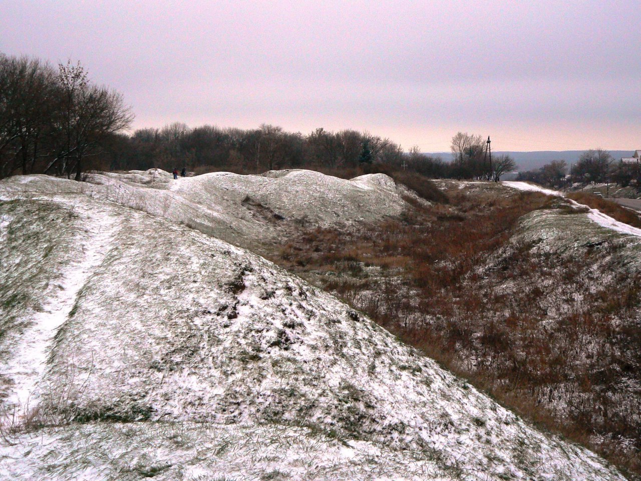
Its natural complex is protected by the Priorilsky Landscape Reserve of national importance. In the XVIII century the Ukrainian defensive line passed here, the remains of several earthen fortresses have been preserved.
The administrative center of Berestyn district is the city of Berestyn. The area of the district is 4913 square kilometers. The population of the district reaches 110 thousand people.
The Berestyn district consists of 220 settlements, which are united into 6 territorial hromadas: Berestyn city hromada, Zachepylivska, Kehychivska and Sakhnovshchynska settlemen ...
Berestyn district (Berestynskyi) is located in the south-western part of Kharkiv region, in the historical and ethnographic region of Slobozhanshchyna. The southern border runs along the Oril River.
Its natural complex is protected by the Priorilsky Landscape Reserve of national importance. In the XVIII century the Ukrainian defensive line passed here, the remains of several earthen fortresses have been preserved.
The administrative center of Berestyn district is the city of Berestyn. The area of the district is 4913 square kilometers. The population of the district reaches 110 thousand people.
The Berestyn district consists of 220 settlements, which are united into 6 territorial hromadas: Berestyn city hromada, Zachepylivska, Kehychivska and Sakhnovshchynska settlement hromadas, Natalynska and Starovirivska village territorial hromadas.
Берестинський район розташований у південно-західній частині Харківської області, в історико-етнографічному регіоні Слобожанщини. Південна межа проходить по річці Оріль.
Її природний комплекс охороняє Приорільський ландшафтний заказник загальнодержавного значення. В XVIII сторіччі тут проходила Українська оборонна лінія, збереглися залишки кількох земляних фортець.
Адміністративним центром Берестинського району є місто Берестин. Площа території району становить 4913 квадратних кілометрів. Чисельність населення району сягає 110 тисяч осіб.
До складу Берестинського району входять 220 населених пунктів, які об'єднані у 6 територіальних громад: Берестинська міська, Зачепилівська, Кегичівська, Сахновщинська селищні та Наталинська і Старовірівська сільські територіальні ...
Берестинський район розташований у південно-західній частині Харківської області, в історико-етнографічному регіоні Слобожанщини. Південна межа проходить по річці Оріль.
Її природний комплекс охороняє Приорільський ландшафтний заказник загальнодержавного значення. В XVIII сторіччі тут проходила Українська оборонна лінія, збереглися залишки кількох земляних фортець.
Адміністративним центром Берестинського району є місто Берестин. Площа території району становить 4913 квадратних кілометрів. Чисельність населення району сягає 110 тисяч осіб.
До складу Берестинського району входять 220 населених пунктів, які об'єднані у 6 територіальних громад: Берестинська міська, Зачепилівська, Кегичівська, Сахновщинська селищні та Наталинська і Старовірівська сільські територіальні громади.


