Functional temporarily unavailable
Polupanivka
Travel guide online Polupanivka
General information about Polupanivka
The village of Polupanivka is located on the slope of the Medobory ridge, 5 kilometers north of Skalat.
Its foundation is attributed to the 13th century, although, according to other sources, it was first mentioned in 1580.
The Holy Mountain is located near the track, the slopes of which are strewn with huge boulders. The location of some stones in the form of dolmens gives reason to assume that in ancient times there was a pagan sanctuary on the mountain. In the upper part of the mountain there is a healing spring with which the legend of the appearance of the Mother of God is connected. Since then, the Holy Mountain has been a place of pilgrimage for Christians of various denominations. The Orthodox C ...
The village of Polupanivka is located on the slope of the Medobory ridge, 5 kilometers north of Skalat.
Its foundation is attributed to the 13th century, although, according to other sources, it was first mentioned in 1580.
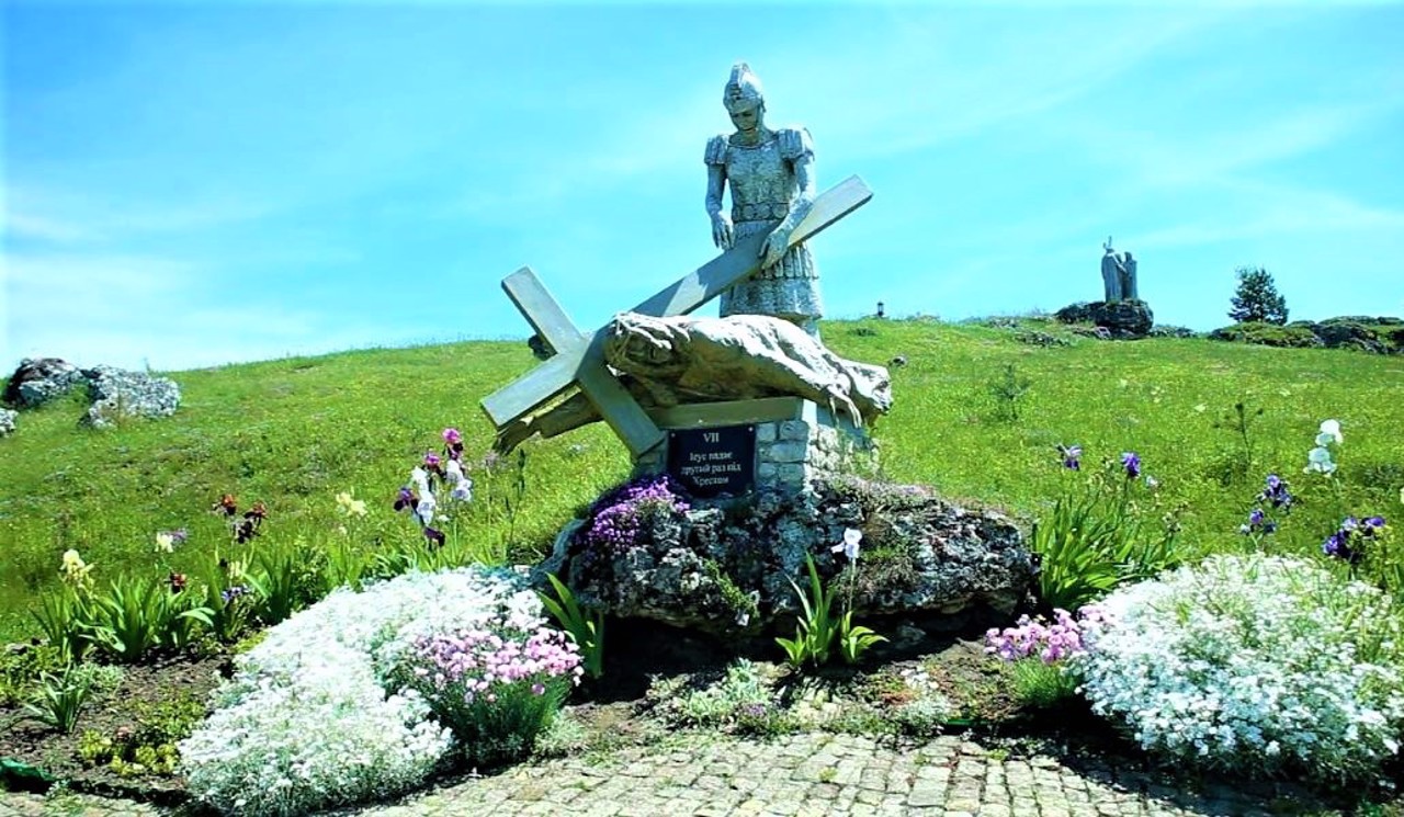
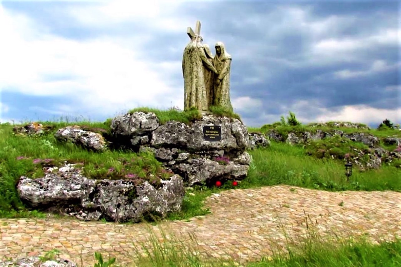
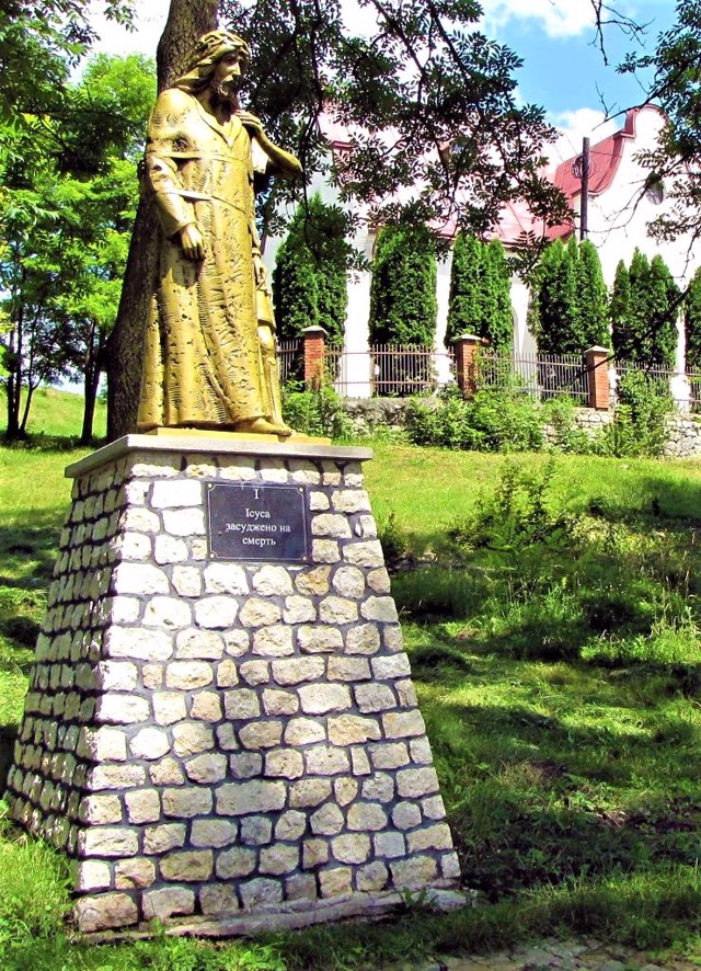
The Holy Mountain is located near the track, the slopes of which are strewn with huge boulders. The location of some stones in the form of dolmens gives reason to assume that in ancient times there was a pagan sanctuary on the mountain. In the upper part of the mountain there is a healing spring with which the legend of the appearance of the Mother of God is connected. Since then, the Holy Mountain has been a place of pilgrimage for Christians of various denominations. The Orthodox Church of the Holy Spirit was built above the spring (1878). Nearby is the Catholic Church of Saint Joseph (1894). In 2010, on the territory of the "Holy Mountain" landscape reserve, on the initiative of Catholics, a "Way of the Cross" was opened with 14 stations, on which sculptures illustrating the Passion of Christ were installed.
Село Полупанівка розташоване на схилі Медоборського хребта в 5 кілометрах на північ від Скалата.
Його заснування відносять до XIII сторіччя, хоча, за іншими даними, вперше воно згадується в 1580 році.
Поруч з трасою розташована Свята гора, схили якої всипані величезними валунами. Розташування деяких каменів у формі дольменів дає підставу припускати, що в давнину на горі було язичницьке святилище. У верхній частині гори є цілюще джерело, з яким пов'язана легенда про явище Божої Матері. З тих пір Свята гора є місцем паломництва християн різних конфесій. Над джерелом зведено православну церкву Святого Духа (1878 рік). Поруч стоїть католицький костел Святого Йосипа (1894 рік). В 2010 році на території л ...
Село Полупанівка розташоване на схилі Медоборського хребта в 5 кілометрах на північ від Скалата.
Його заснування відносять до XIII сторіччя, хоча, за іншими даними, вперше воно згадується в 1580 році.
Поруч з трасою розташована Свята гора, схили якої всипані величезними валунами. Розташування деяких каменів у формі дольменів дає підставу припускати, що в давнину на горі було язичницьке святилище. У верхній частині гори є цілюще джерело, з яким пов'язана легенда про явище Божої Матері. З тих пір Свята гора є місцем паломництва християн різних конфесій. Над джерелом зведено православну церкву Святого Духа (1878 рік). Поруч стоїть католицький костел Святого Йосипа (1894 рік). В 2010 році на території ландшафтного заказника "Свята гора" за ініціативи католиків відкрито "Хресну дорогу" з 14 стацій, на яких встановлені скульптури, що ілюструють Страсті Христові.
Сплануй своє перебування у Polupanivka
What to see and where to go in Polupanivka
Tourist attractions and museums of Polupanivka
Holy Spirit Church
Temple
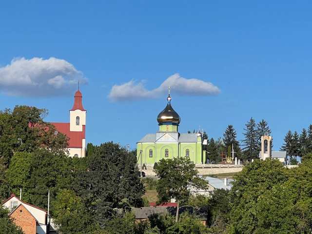
The Church of the Holy Spirit was founded in Polupanivka in 1878 as a small chapel above a healing spring near the top of the Holy Mountain.
According to legends, there was an apparition of the Mother of God at this place, after which the source became a place of pilgrimage for Christians of various denominations.
Another legend tells of a local landowner who ordered a spring that flooded his fields to be filled with stones. After that, the landowner fell ill and went blind. When the spring was cleaned, the blind man washed his eyes with water and saw.
The current Church of the Holy Spirit was built over the chapel in 1989. The Catholic church and the Way of the Cross are located nearby.
Polupanivska Holy Mountain
Historic area , Temple , Natural object , Reserve
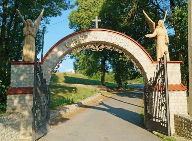
"Polupanivska Holy Mountain" is a landscape reserve created in 1994 on 11 hectares of the territory of the Medobory ridge.
Rare species of steppe vegetation and animal world are found here. The mountain is composed of reef limestones. The slopes are covered with huge boulders. The location of some stones in the form of dolmens gives reason to assume that in ancient times there was a pagan sanctuary on the mountain.
In the upper part of the mountain there is a healing spring with which the legend of the apparition of the Mother of God is connected.
The Holy Mountain is a place of pilgrimage for Christians of various denominations. In 2010, the "Way of the Cross" was opened on the territory of the "Polupanivska Holy Mountain" landscape reserve with 14 stations, on which sculptures illustrating the Passion of Christ were installed.
Saint Joseph's Church
Temple , Architecture
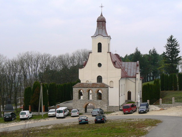
The Church of Saint Joseph was built in Polupanivka in 1894 on the top of the Holy Mountain next to the Orthodox chapel of the Holy Spirit, which stands above the healing spring.
According to legend, the Mother of God appeared here about 200 years ago. Since that time, the Holy Mountain has been a place of pilgrimage for Christians of various denominations.
During the Soviet era, the church was closed, but in 1991 the service was resumed. Today it is the Sanctuary of the Mother of God of the Holy Scapular. In 2010, the "Way of the Cross" with bronze sculptures at 14 stations was opened near the church.
Polupanivka on photo and video
Reviews Polupanivka
Geographical information about Polupanivka
| {{itemKey}} | {{itemValue}} |
|---|---|
| Region |
Ternopil |
