Functional temporarily unavailable
General information about Stetskivka
The village of Stetskivka is located on both banks of the Oleshnia River, 10 kilometers north of Sumy, on the Kursk highway N-07.
According to legend, it was founded in 1659 by five Cossacks, one of whom was named Stetsko (perhaps referring to the Sumy chieftain Stetsko), which is where the name came from. In the Cossack times, Stetskivka was a town of hundreds of the Sumy regiment. It belonged to the landowners Savych, who came from the Cossack nobility.
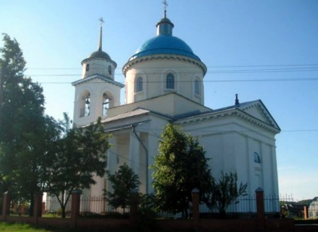
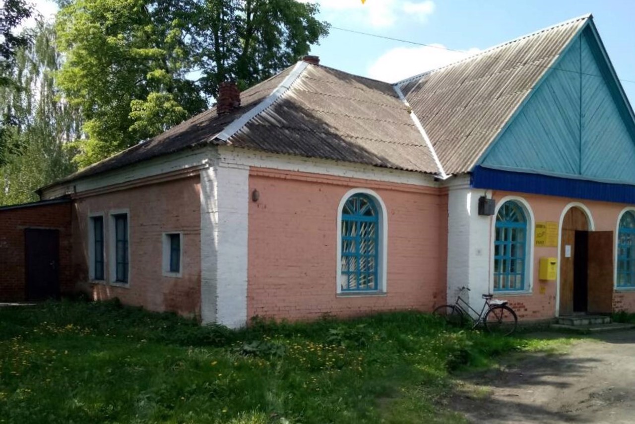
Saint Dmitri's Church, which was built in 1835 in the style of classicism, has been preserved. In 1874, a Zemstvo school was built, which later housed a school.
Cело Стецьківка розташоване на обох берегах річки Олешня в 10 кілометрах на північ від Сум, на курській трасі Н-07.
За переказами, засноване в 1659 році п'ятьма козаками, одного з яких звали Стецько (можливо, мається на увазі сумський отаман Стецько), звідки пішла назва. В козацькі часи Стецьківка була сотенним містечком Сумського полку. Належала поміщикам Савичам, вихідцям з козацької старшини.
Збереглася Дмитрівська церква, яка була побудована в 1835 році в стилі класицизму. В 1874 році збудовано земське училище, в якому пізніше була школа.
Сплануй своє перебування у Stetskivka
What to see and where to go in Stetskivka
Tourist attractions and museums of Stetskivka

Saint Demetrius Church
Temple , Architecture
The Church of Saint Demetrius was built in Stetskivka in 1835-1846 at the expense of the landowners Savych. The temple is made in the style of classicism.
In Soviet times, the building was used as a granary, but during the Second World War, worship services were restored.
Currently, the Saint Demetrius Church is active. Restoration was carried out in 2002.
Stetskivka on photo and video
Reviews Stetskivka
Geographical information about Stetskivka
| {{itemKey}} | {{itemValue}} |
|---|---|
| Region |
Sumy |


