Functional temporarily unavailable
General information about Liubymivka
The village of Liubymivka is located 15 kilometers north of Dymer, next to the Dnipro-Teteriv reserve forest and hunting farm, better known as "Sukholuchchya".
The village was first mentioned in 1640. It has repeatedly changed its name: Vozdvyzhensk, Manuyilsk, Sosnivka. Since 1954, it has been called Liubymivka again.
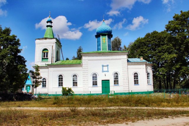
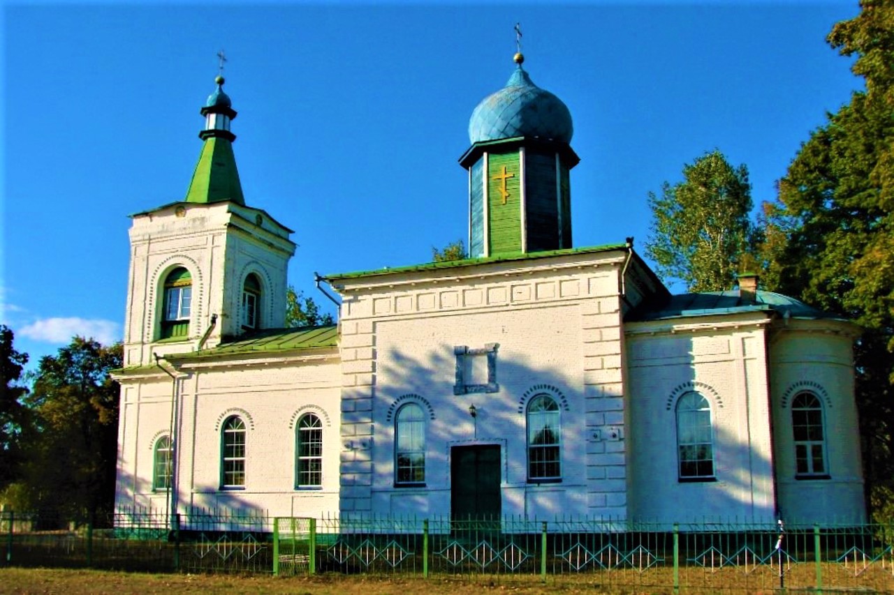
The stone Church of the Exaltation of the Cross, built in 1858 at the expense of the landowner Lukomsky, has been preserved.
Село Любимівка розташоване в 15 кілометрах на північ від Димера, поруч з Дніпровсько-Тетерівським заповідним лісомисливським господарством, більше відомим як "Сухолуччя".
Вперше село згадується в 1640 році. Неодноразово змінювало назву: Воздвиженськ, Мануїльськ, Соснівка. З 1954 року знову називається Любимівка.
Збереглася кам'яна Хрестовоздвиженська церква, збудована в 1858 році коштом поміщика Лукомського.
Сплануй своє перебування у Liubymivka
What to see and where to go in Liubymivka
Tourist attractions and museums of Liubymivka

Exaltation of Holy Cross Church
Temple , Architecture
The Church of the Exaltation of the Cross of the Lord was built in the village of Liubymivka in 1858 at the expense of the landowner Lukomsky according to the typical project of the architect Kostyantyn Ton.
Until today, the Church of the Exaltation of the Cross has been preserved practically in its original form. On the territory of the temple is the grave of the famous historian and local historian Lavrentiy Pokhylevych, the author of the book "Tales about inhabited areas of the Kyiv province".
The church preserves the icon of Saint Archangel Michael, painted at the beginning of the 20th century in memory of the saint's appearance to the residents of the nearby village of Rovy.
The Church of the Exaltation of the Holy Cross is an architectural monument of local importance.
Reviews Liubymivka
Geographical information about Liubymivka
| {{itemKey}} | {{itemValue}} |
|---|---|
| Region |
Kyiv |


