Functional temporarily unavailable
Cities and villages of Vyshhorod district
Online travel guide to the settlements of Vyshhorod district
General information about Vyshhorod district
Vyshhorod district (Vyshhorodskyi) is located in the northern part of Kyiv region, on the historical and ethnographic territory of Kyiv Polissya. The territory of the district is crossed by the Dnipro River, which forms the Kyiv Reservoir, and the Pripyat River.
A large part of the district's territory is a closed exclusion zone of the Chornobyl NPP, within which the Chornobyl Radiation and Ecological Biosphere Reserve operates and excursions are conducted.
The administrative center of Vyshhorodskyi district is the city of Vyshhorod, known since ancient times, which is now a satellite city of Kyiv HPP. The Vyshhorod Historical and Cultural Reserve includes the remains of a child of the Vyshhorod settlement with the Borisohlebska Church, an interactive Museum of Pottery a ...
Vyshhorod district (Vyshhorodskyi) is located in the northern part of Kyiv region, on the historical and ethnographic territory of Kyiv Polissya. The territory of the district is crossed by the Dnipro River, which forms the Kyiv Reservoir, and the Pripyat River.
A large part of the district's territory is a closed exclusion zone of the Chornobyl NPP, within which the Chornobyl Radiation and Ecological Biosphere Reserve operates and excursions are conducted.
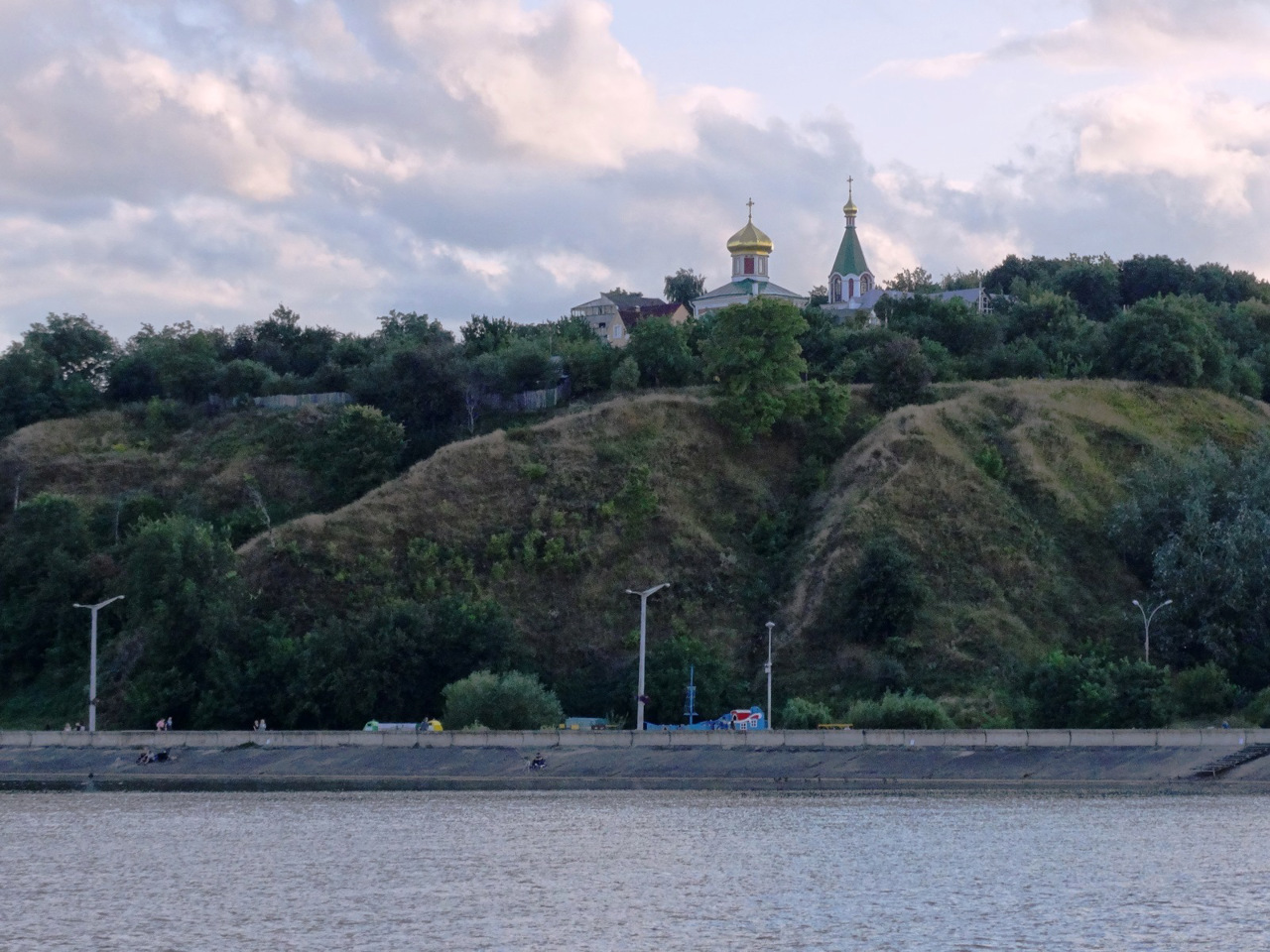
The administrative center of Vyshhorodskyi district is the city of Vyshhorod, known since ancient times, which is now a satellite city of Kyiv HPP. The Vyshhorod Historical and Cultural Reserve includes the remains of a child of the Vyshhorod settlement with the Borisohlebska Church, an interactive Museum of Pottery and an exposition of the Historical Museum. Vyshhorod embankment is a popular recreation area.
Also located in the district are the former government residences "Mezhyhirya" and "Sukholuchcha", which are now open to the public, the National Museum "Battle of Kyiv in 1943" on the site of the Lutsk bridgehead, a private zoo "XII months".
The area of the district is more than 6913 square kilometers. The population of the district reaches 130 thousand people.
Vyshhorod district includes 163 settlements, which are united into 7 territorial hromadas: Vyshhorodska and Slavutytska city hromadas, Dymerska, Ivankivska and Poliska settlement hromadas, Petrivska and Pirnivska village territorial hromadas.
Вишгородський район розташований у північній частині Київської області, на історико-етнографічній території Київського Полісся. Територію району перетинають ріка Дніпро, що утворює тут Київське водосховище, а також річка Прип'ять.
Значна частина території району є закритою зоною відчуження Чорнобильської АЕС, в межах якої діє Чорнобильський радіаційно-екологічний біосферний заповідник та проводяться екскурсії.
Адміністративним центром Вишгородського району є місто Вишгород, відоме ще за часів Давньої Русі, яке тепер є містом-супутником Київської ГЕС. Вишгородський історико-культурний заповідник включає залишки дитинця Вишгородського городища з Борисоглібською церквою, інтерактивний Музей гончарства та експозицію Історичного музею. Вишгородська набережна є популярною зоно ...
Вишгородський район розташований у північній частині Київської області, на історико-етнографічній території Київського Полісся. Територію району перетинають ріка Дніпро, що утворює тут Київське водосховище, а також річка Прип'ять.
Значна частина території району є закритою зоною відчуження Чорнобильської АЕС, в межах якої діє Чорнобильський радіаційно-екологічний біосферний заповідник та проводяться екскурсії.
Адміністративним центром Вишгородського району є місто Вишгород, відоме ще за часів Давньої Русі, яке тепер є містом-супутником Київської ГЕС. Вишгородський історико-культурний заповідник включає залишки дитинця Вишгородського городища з Борисоглібською церквою, інтерактивний Музей гончарства та експозицію Історичного музею. Вишгородська набережна є популярною зоною відпочинку.
Також на території району розташовані колишні урядові резиденції "Межигір'я" та "Сухолуччя", які сьогодні відкриті для відвідування, Національний музей "Битва за Київ у 1943 році" на місці Лютізького плацдарму, приватний зоопарк "XII місяців".
Площа території району становить понад 6913 квадратних кілометри. Чисельність населення району сягає 130 тисяч осіб.
До складу Вишгородського району входять 163 населені пункти, які об'єднані у 7 територіальних громад: Вишгородська, Славутицька міські, Димерська, Іванківська, Поліська селищні, Петрівська, Пірнівська сільські територіальні громади.


