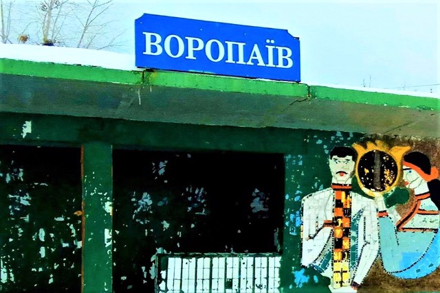
Functional temporarily unavailable
General information about Voropaiv
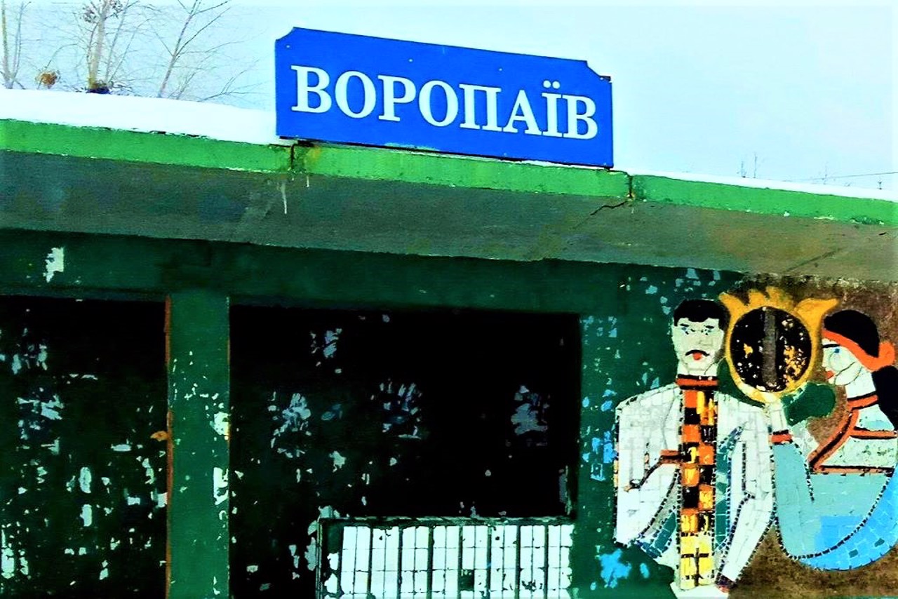
The village of Voropaiv is located on the left bank of the Dnipro (Kyiv Reservoir), above Desna, 30 kilometers north of Vyshhorod.
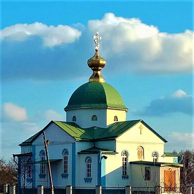
It has been known since 1672, when Hetman Samoylovych handed over the settlement of Voropaiv to the Kyiv colonel Konstantiy Solonyna. In 1695, the village became the property of the Kyiv Pechersk Lavra. During the time of Cossacks, it was part of the Oster hundred of the Kyiv regiment. The Church of the Intercession was built in 1996.
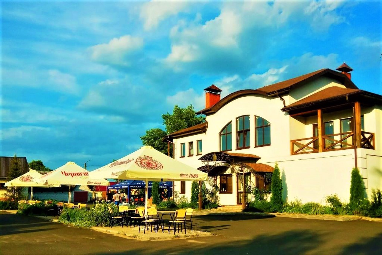
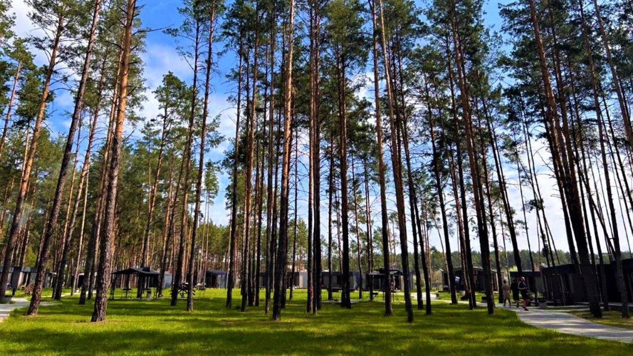
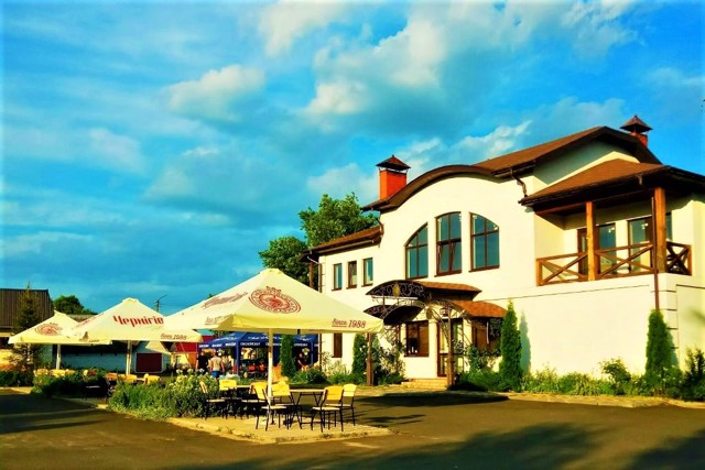
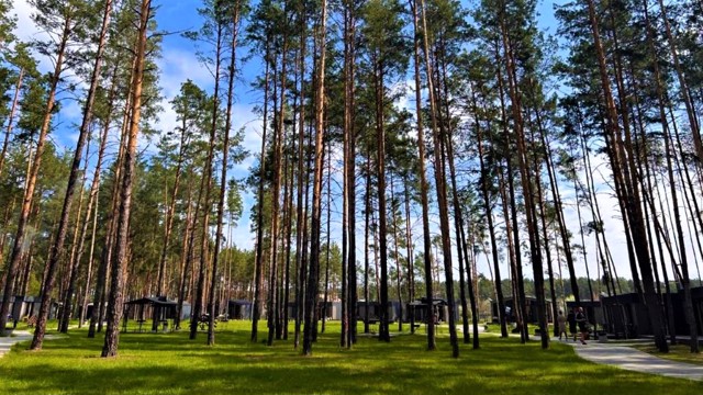
There are several recreation centers and a wide beach on the banks of the Desna near Voropaiv.
Село Воропаїв розташоване на лівому березі Дніпра (Київського водосховище), понад Десною, в 30 километрах на північ від Вишгорода.
Відоме з 1672 року, коли гетьман Самойлович передав поселення Воропаїв київському полковнику Константію Солонині. В 1695 році село стало власністю Києво-Печерської лаври. За часів Козаччини входило до Остерської сотні Київського полку. Покровська церква збудована в 1996 році.
На березі Десни поряд з Воропаєвом є кілька баз відпочинку, широкий пляж.
Сплануй своє перебування у Voropaiv
What to see and where to go in Voropaiv
Reviews Voropaiv
Geographical information about Voropaiv
| {{itemKey}} | {{itemValue}} |
|---|---|
| Region |
Kyiv |
