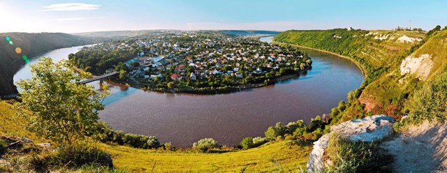
Functional temporarily unavailable
Pivdennoukrainsk
Travel guide online Pivdennoukrainsk
General information about Pivdennoukrainsk
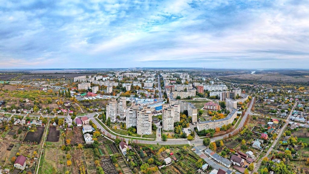
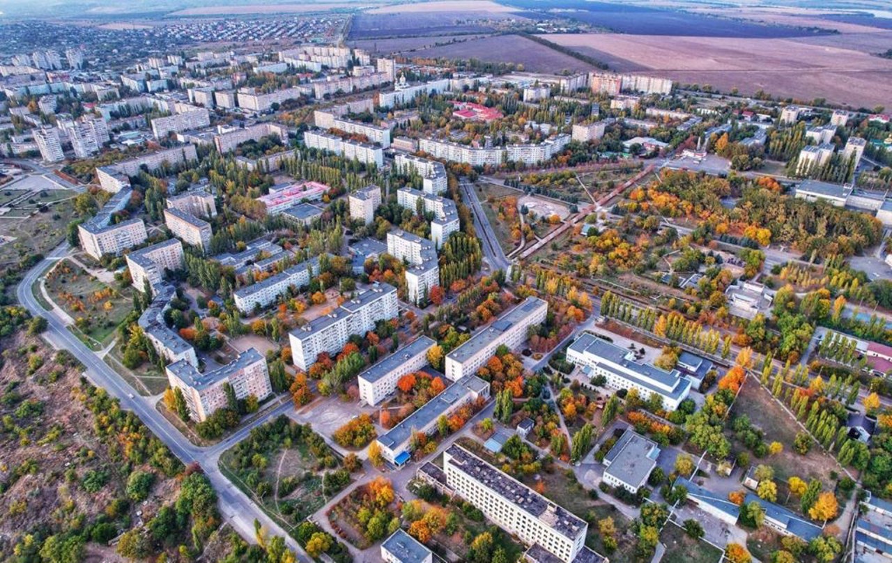
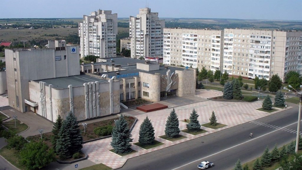
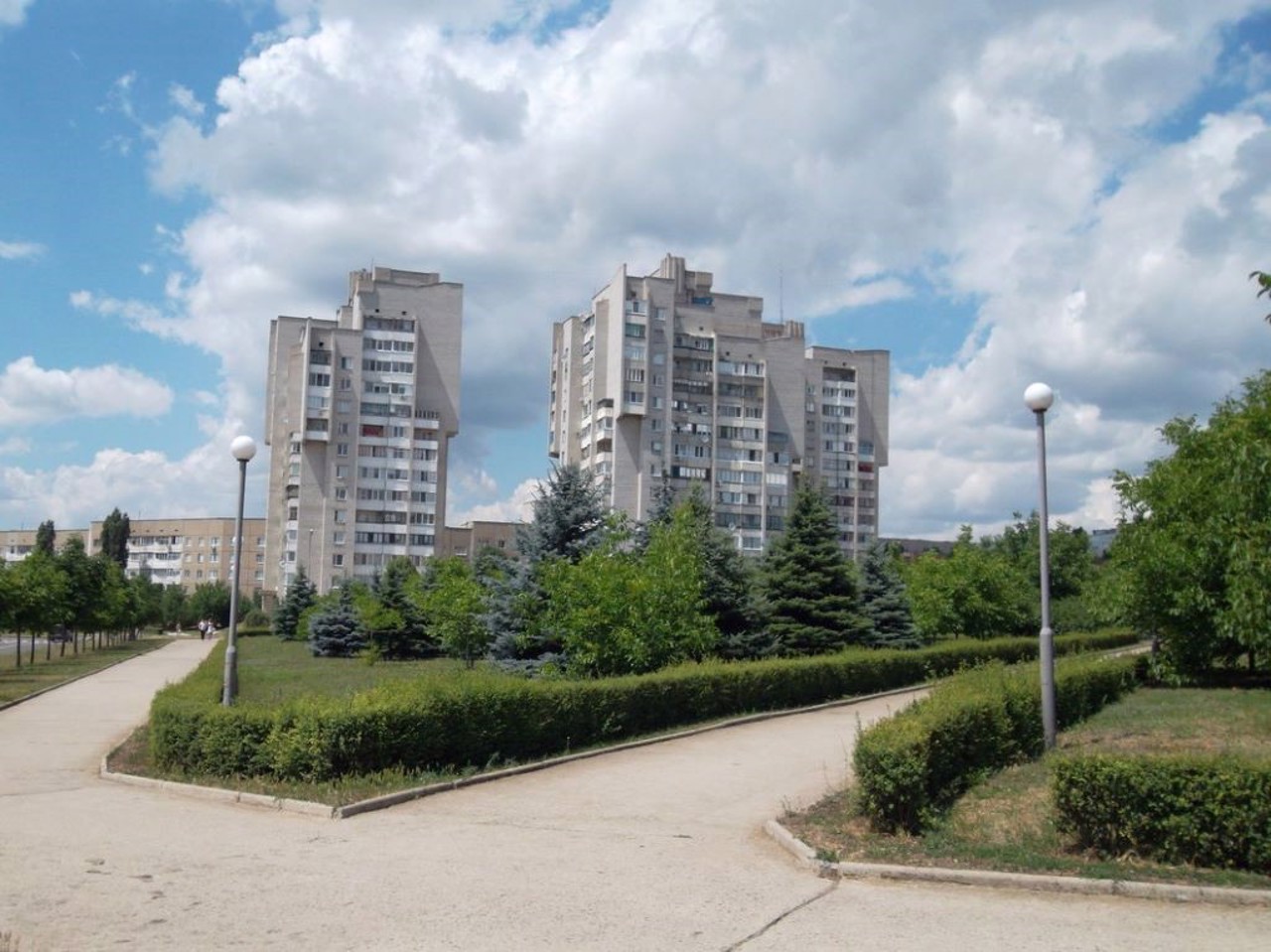
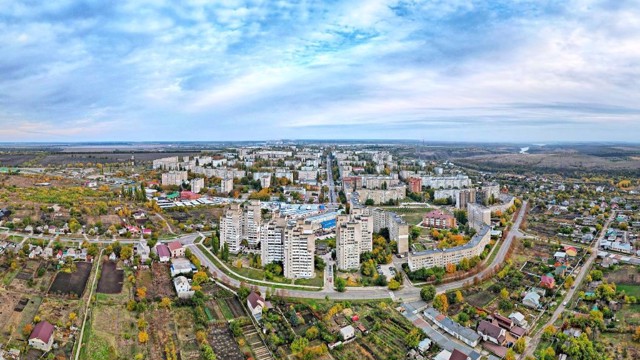
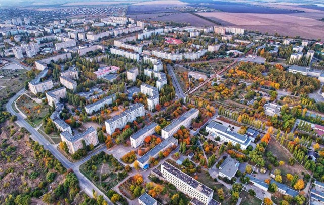
Pivdennoukrainsk is a satellite city of the Pivdennoukrainska NPP on the Pivdenny Buh River, on the Mykolaiv-Holovanivsk route.
It was founded in 1976 during the construction of a nuclear power plant. A convenient transshipment point for a road trip to the Crimea.
In the 18th century, here, on the island of Gard, was the center of the Buh-Gard palanquin of the Zaporizhzhia Nizovy Army, and there was a crossing over the Pivdenny Buh. During the construction of the Tashlytska HPP in 2006, part of the island was flooded, but since 2009, the Gard tract has been part of the "Buzkyi Gard" National Nature Park. These picturesque places with vertical rock attract climbers and rafting fans.
Until 2024, the city was called Yuzhnoukrainsk. In 2023, by the decision of th ...
Pivdennoukrainsk is a satellite city of the Pivdennoukrainska NPP on the Pivdenny Buh River, on the Mykolaiv-Holovanivsk route.
It was founded in 1976 during the construction of a nuclear power plant. A convenient transshipment point for a road trip to the Crimea.
In the 18th century, here, on the island of Gard, was the center of the Buh-Gard palanquin of the Zaporizhzhia Nizovy Army, and there was a crossing over the Pivdenny Buh. During the construction of the Tashlytska HPP in 2006, part of the island was flooded, but since 2009, the Gard tract has been part of the "Buzkyi Gard" National Nature Park. These picturesque places with vertical rock attract climbers and rafting fans.
Until 2024, the city was called Yuzhnoukrainsk. In 2023, by the decision of the National Commission for State Language Standards, the city was included in the list of settlements whose names do not correspond to the lexical norms of the Ukrainian language and imitate Russian. In 2024, the city of Yuzhnoukrainsk was renamed Pivdennoukrainsk.
Південноукраїнськ - місто-супутник Південноукраїнської АЕС на річці Південний Буг, на трасі Миколаїв-Голованівськ.
Засноване в 1976 році при спорудженні атомної електростанції. Зручний перевалочний пункт при автоподорожі до Криму.
В XVIII столітті тут, на острові Гард, знаходився центр Буго-Гардівської паланки Війська Запорозького Низового, діяла переправа через Південний Буг. При спорудженні Ташлицької ГАЕС в 2006 році частина острова була затоплена, але з 2009 року урочище Гард є частиною Національного природного парку "Бузький Гард". Ці мальовничі місця з прямовисною скелею залучають альпіністів і шанувальників рафтингу.
До 2024 року місто мало назву Южноукраїнськ. В 2023 році рішенням Національної комісії зі стандартів державної мови місто було внесено до ...
Південноукраїнськ - місто-супутник Південноукраїнської АЕС на річці Південний Буг, на трасі Миколаїв-Голованівськ.
Засноване в 1976 році при спорудженні атомної електростанції. Зручний перевалочний пункт при автоподорожі до Криму.
В XVIII столітті тут, на острові Гард, знаходився центр Буго-Гардівської паланки Війська Запорозького Низового, діяла переправа через Південний Буг. При спорудженні Ташлицької ГАЕС в 2006 році частина острова була затоплена, але з 2009 року урочище Гард є частиною Національного природного парку "Бузький Гард". Ці мальовничі місця з прямовисною скелею залучають альпіністів і шанувальників рафтингу.
До 2024 року місто мало назву Южноукраїнськ. В 2023 році рішенням Національної комісії зі стандартів державної мови місто було внесено до списку населених пунктів, назви яких не відповідають лексичним нормам української мови та наслідують російську. В 2024 році місто Южноукраїнськ було перейменоване на Південноукраїнськ.
Сплануй своє перебування у Pivdennoukrainsk
What to see and where to go in Pivdennoukrainsk
Tourist attractions and museums of Pivdennoukrainsk
Hard Tract
Historic area , Natural object
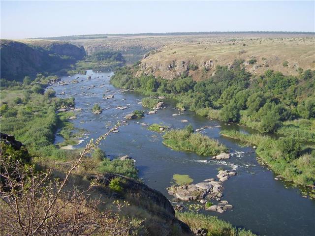
The Hard tract in the granite canyon of the Pivdennyi Buh River is one of the most picturesque places of the Buzkyi Hard National Nature Park (formerly the Regional Landscape Park "Granite-Steppe Pobuzhzhya").
"Hard" was the name of a special structure for catching fish, built by Zaporizhzhia Cossacks back in the 16th century. After the creation of Nova Sich in 1740, the Buho-Hard palanque of the Zaporizhzhia Nizove Army was formed on these lands, the military-administrative center of which was the settlement of Hard (present-day Bohdanivka opposite Pivdennoukrainsk). There was a ferry crossing across the Pivdennyi Buh on Hard Island, for the protection of which the Buho-Hard armed border post was built.
The remains of the Cossack fortress and the wooden church on Hard Island were preserved until the middle of the 20th century. In the 1970s, the Yuzhnoukrainsk NPP was built at the confluence of the Pivdennyi Buh and its left tributary Velikiy Tashlyk, a Cossack church was destroyed on Hard Island, and granite rocks were blown up. In 2006, during the construction of the Tashlytska HPP, the Hard threshold was flooded.
The remains of the island itself still exist, but are divided into two parts. The hanging rocks of the canyon are a favorite place for climbing competitions. Porig Hard is one of the most difficult sections of rafting on the Pivdennyi Buh.
Pivdennoukrainsk City Historical Museum
Museum / gallery
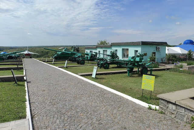
The municipal institution "Pivdennoukrainsk City Historical Museum" is located in the central part of the city of Pivdennoukrainsk on the banks of the Pivdenniy Buh, in the recreation area of the townspeople.
The museum was founded in 2003 on the territory of the Memorial to the Liberators as a museum complex "Cossack Glory and Military Equipment". In 2014 it was renamed "Pivdennoukrainsk City Historical Museum".
The museum exposition consists of two parts - an open-air exhibition of military equipment and an exhibition hall, which presents five exposition departments. The department "Glory of the Buzkyi Hard" tells about the history of the region from ancient times to the times of the Buho-Hard palanquin of the Zaporizhzhian Lowland Army. The departments "Between Two Fires. Ukraine in World War II" and "The Price of Another's War" are dedicated, respectively, to honoring the memory of the participants in the fighting during World War II and on the territory of other states. The exposition of the "Heroes Do Not Die" department talks about the Revolution of Dignity of 2013-2014 and the modern Russian-Ukrainian war. The permanent exposition "My City - Pivdennoukrainsk!" contains materials about the construction and development of the Pivdennoukrainsk NPP and its satellite city.
The museum staff conduct sightseeing and thematic excursions around the city and its surroundings.
Reviews Pivdennoukrainsk
Geographical information about Pivdennoukrainsk
| {{itemKey}} | {{itemValue}} |
|---|---|
| Region |
Mykolaiv |
