Functional temporarily unavailable
Attractions of Ukraine
Attractions region
Attractions Cherkasy region
Attractions Uman district
Attractions Buky
Buky Canyon (Vyr Waterfall)
Buky Canyon (Vyr Waterfall), Buky
Natural object
Rest on the water
Recreation area
General information about Buky Canyon (Vyr Waterfall) (Buky)
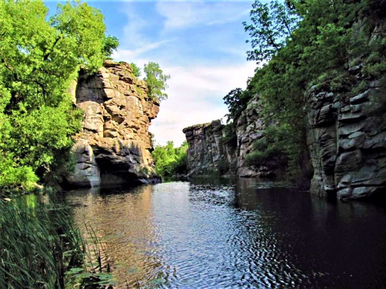
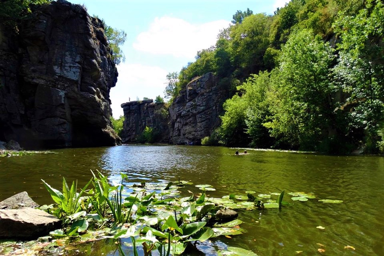
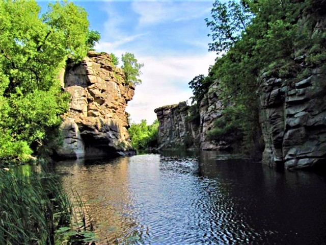
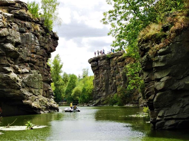
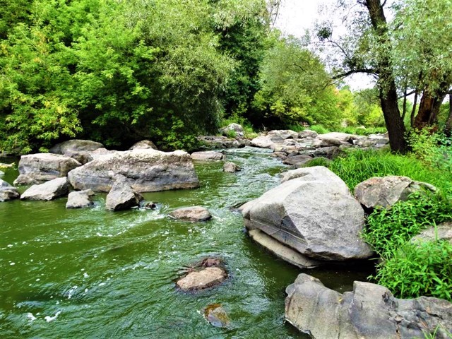
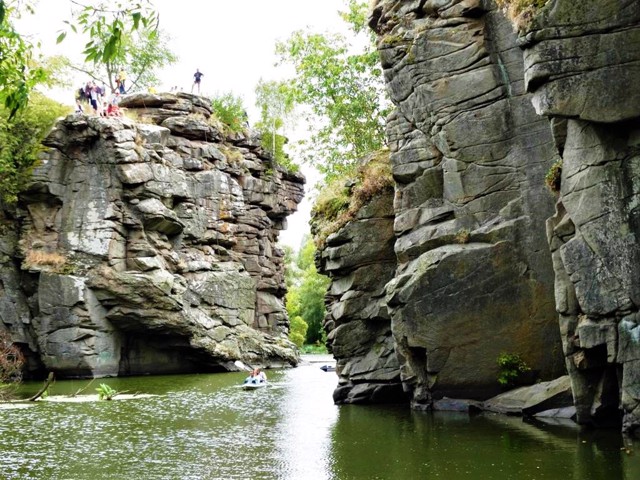
The extremely picturesque Buky Canyon in Cherkasy region is formed by the high rocky banks of the Hirsky Tykich river.
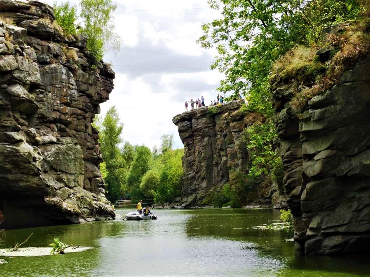
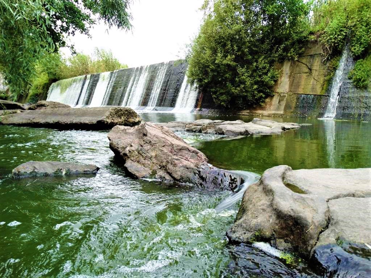
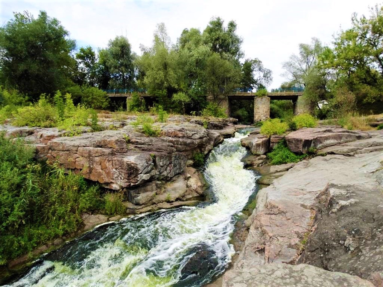
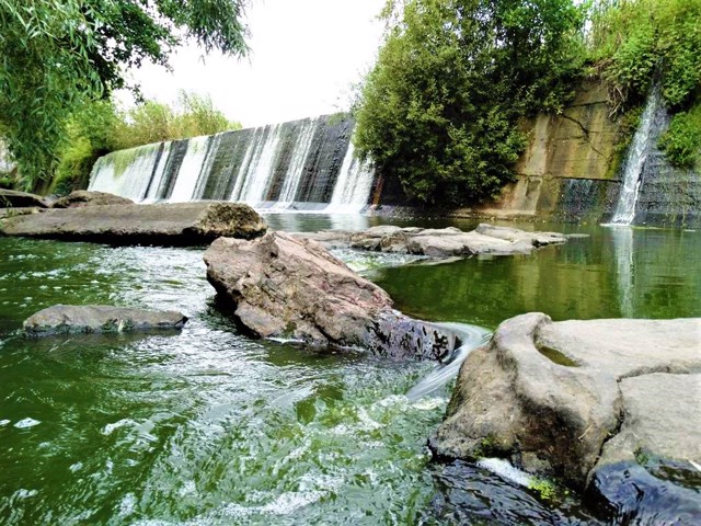
The river cut its channel in granite deposits, the age of which is about 2 billion years. The canyon is narrow (20-40 meters in places), deep (up to 20 meters), winding and long (about 1 kilometer). It starts from the artificial two-meter overturning of the former hydroelectric dam, which is called the Vyr waterfall.
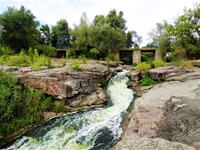
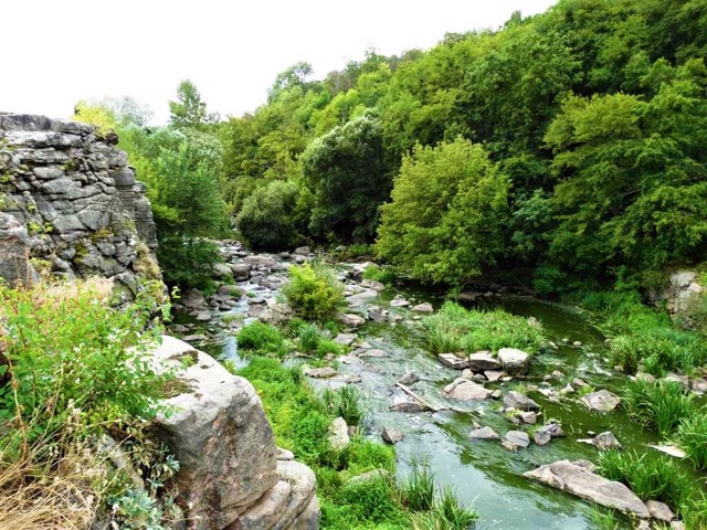
You can admire the rocky outcrops of the banks, between which the river runs along the rapids, in the center of the village of Buky, from the bridge over Hirsky Tykich.
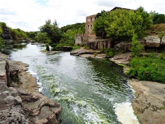
The ruins of a 19th-century water mill and a hydroelectric power station from 1929 have been preserved.
Downstream is the Vyr itself - a deep place in the river bed, ...
The extremely picturesque Buky Canyon in Cherkasy region is formed by the high rocky banks of the Hirsky Tykich river.
The river cut its channel in granite deposits, the age of which is about 2 billion years. The canyon is narrow (20-40 meters in places), deep (up to 20 meters), winding and long (about 1 kilometer). It starts from the artificial two-meter overturning of the former hydroelectric dam, which is called the Vyr waterfall.
You can admire the rocky outcrops of the banks, between which the river runs along the rapids, in the center of the village of Buky, from the bridge over Hirsky Tykich.
The ruins of a 19th-century water mill and a hydroelectric power station from 1929 have been preserved.
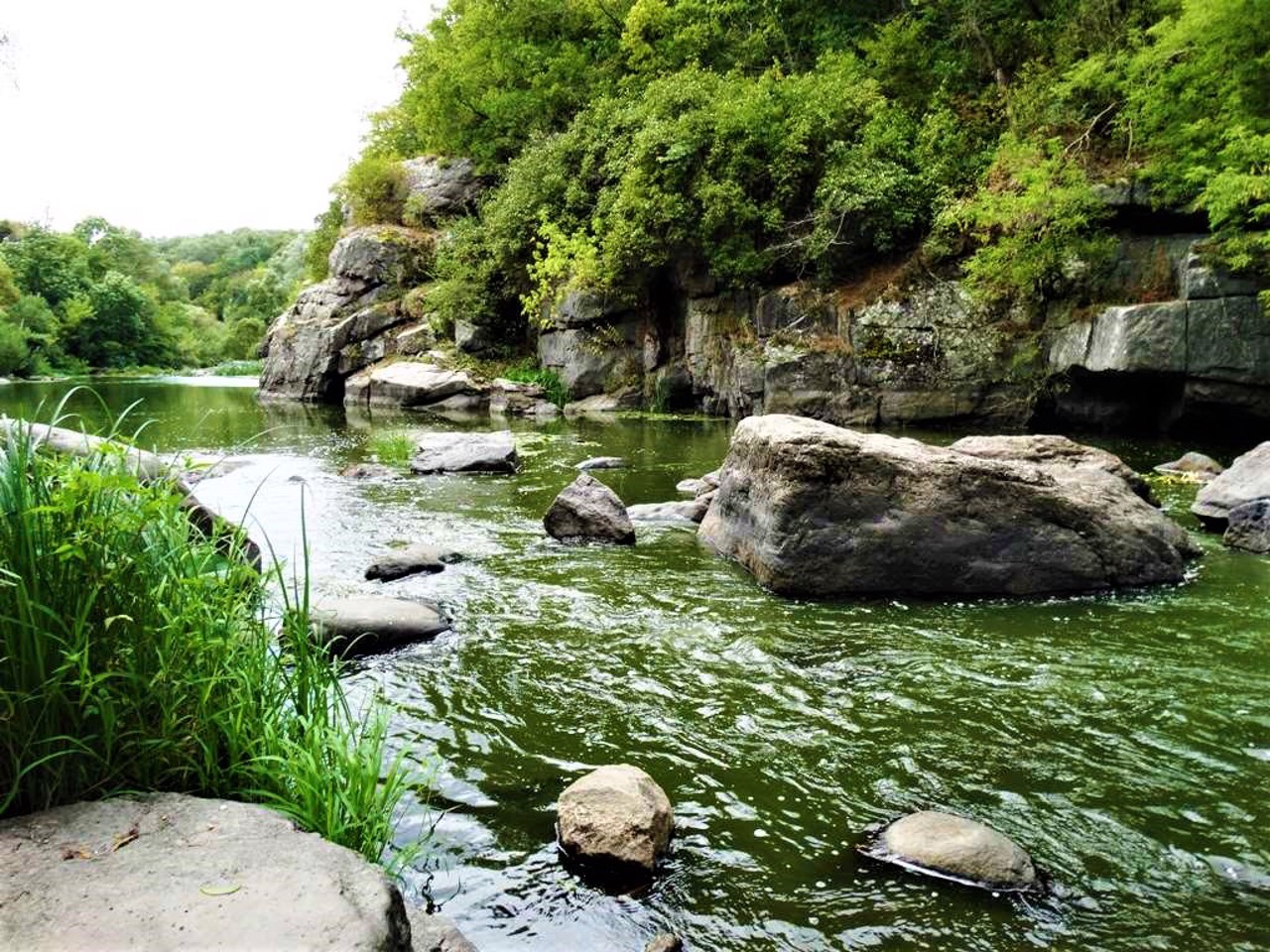
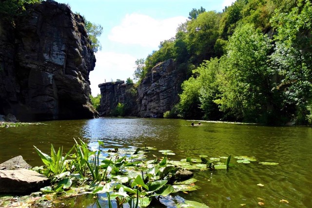
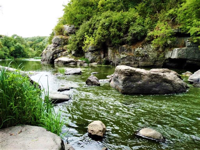
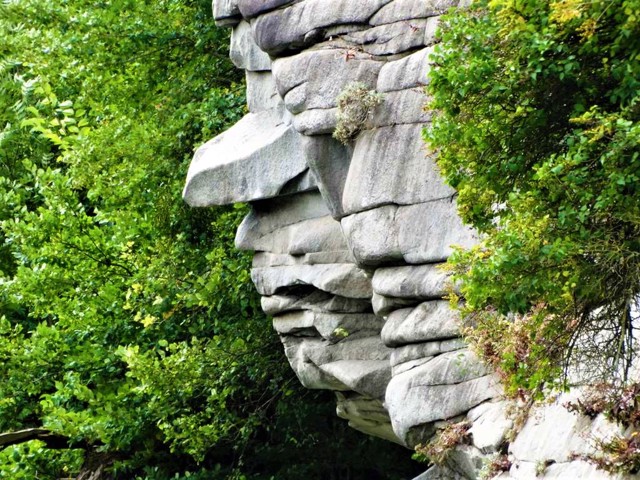
Downstream is the Vyr itself - a deep place in the river bed, drilled by eddies. Next, you can find the most interesting place, where high sharp rocks very picturesquely hang directly over the water, creating a landscape that is completely uncharacteristic for central Ukraine, similar to a fjord.
There are convenient picnic areas along the entire length of Buky Canyon (there are many people on warm weekends).
Надзвичайно мальовничий Буцький каньйон на Черкащині утворений високими скелястими берегами річки Гірський Тикіч.
Річка прорізала собі русло у гранітних відкладах, вік яких близько 2 мільярдів років. Каньйон вузький (місцями 20-40 метрів), глибокий (до 20 метрів), звивистий і довгий (близько 1 кілометра). Буцький каньйон починається від штучного двометрового перекату колишньої греблі ГЕС, який називають водоспадом Вир.
Кам'яними напливами берегів, між якими річка біжить по порогах, можна милуватися в центрі села Буки, з мосту через Гірський Тикич.
Збереглися руїни водяного млина ХІХ століття та гідроелектростанції 1929 року.
Нижче за течією знаходиться сам Вир - глибоке місце русла річки, висвердлене вирами. Далі можна знайти найцікавіше місце, де високі гост ...
Надзвичайно мальовничий Буцький каньйон на Черкащині утворений високими скелястими берегами річки Гірський Тикіч.
Річка прорізала собі русло у гранітних відкладах, вік яких близько 2 мільярдів років. Каньйон вузький (місцями 20-40 метрів), глибокий (до 20 метрів), звивистий і довгий (близько 1 кілометра). Буцький каньйон починається від штучного двометрового перекату колишньої греблі ГЕС, який називають водоспадом Вир.
Кам'яними напливами берегів, між якими річка біжить по порогах, можна милуватися в центрі села Буки, з мосту через Гірський Тикич.
Збереглися руїни водяного млина ХІХ століття та гідроелектростанції 1929 року.
Нижче за течією знаходиться сам Вир - глибоке місце русла річки, висвердлене вирами. Далі можна знайти найцікавіше місце, де високі гострі скелі дуже мальовничо нависають прямо над водою, створюючи абсолютно нехарактерний для центральної України краєвид, схожий на фіорд.
Вздовж усього Буцького каньйону є зручні майданчики для пікніків (у теплі вихідні буває багато народу).
Practical information about Buky Canyon (Vyr Waterfall) (Buky)
Last update
3/3/2025
| Categories | Natural object, Rest on the water, Recreation area |
|---|---|
| Address |
Lisova Street
Buky |
| Coordinates |
49.096891° N, 30.396651° E
|
| Additional services |
Аccessibility information
Have you visited Buky Canyon (Vyr Waterfall) in Buky?
Add practical or descriptive information, photos, links
What to see, where to go next?

News and blogs about Buky Canyon (Vyr Waterfall) (Buky)
Reviews about Buky Canyon (Vyr Waterfall) (Buky)
Вражаюче місце з дивовижними пейзажами. Велетенські скелі, водоспад Вир, багато цікавих рослин в т.ч. червонокнижних, можна побачити глечики, жовті іриси в природньому середовищі ,черепашок , що гріються на сонечку, мам-качкечок з каченятами і отримати багато інших незабутніх вражень. Також є можливість побачити каньйон з човна, прогулятись в здовж скелястих берегів. Можна зупинитись для відпочинку в наметах . Є тарзанки та прокат човнів, рибалка, послуги екскурсоводів, сувенірні крамнички, кафе. Зручний під'їзді для автотранспорту. З мінусів- жахливий туалет.
