Functional temporarily unavailable
Settlements
Mykolaiv region
Cities and villages of
Mykolaiv
region
Online travel guide to the settlements of
Mykolaiv
region

Districts of Mykolaiv region
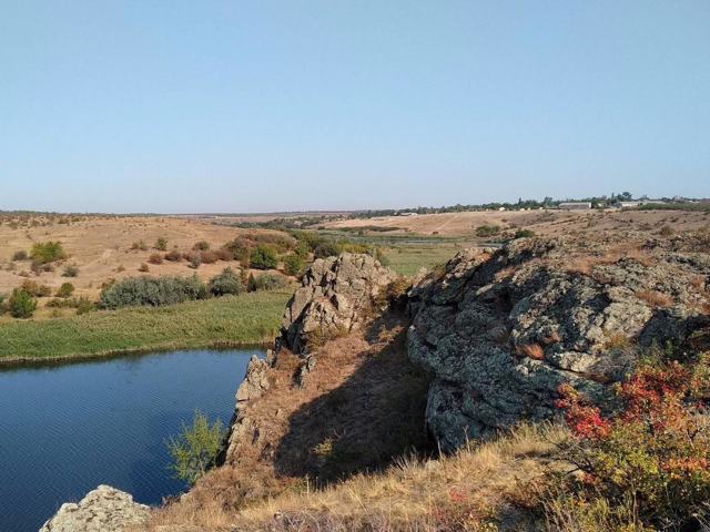
Bashtanka district
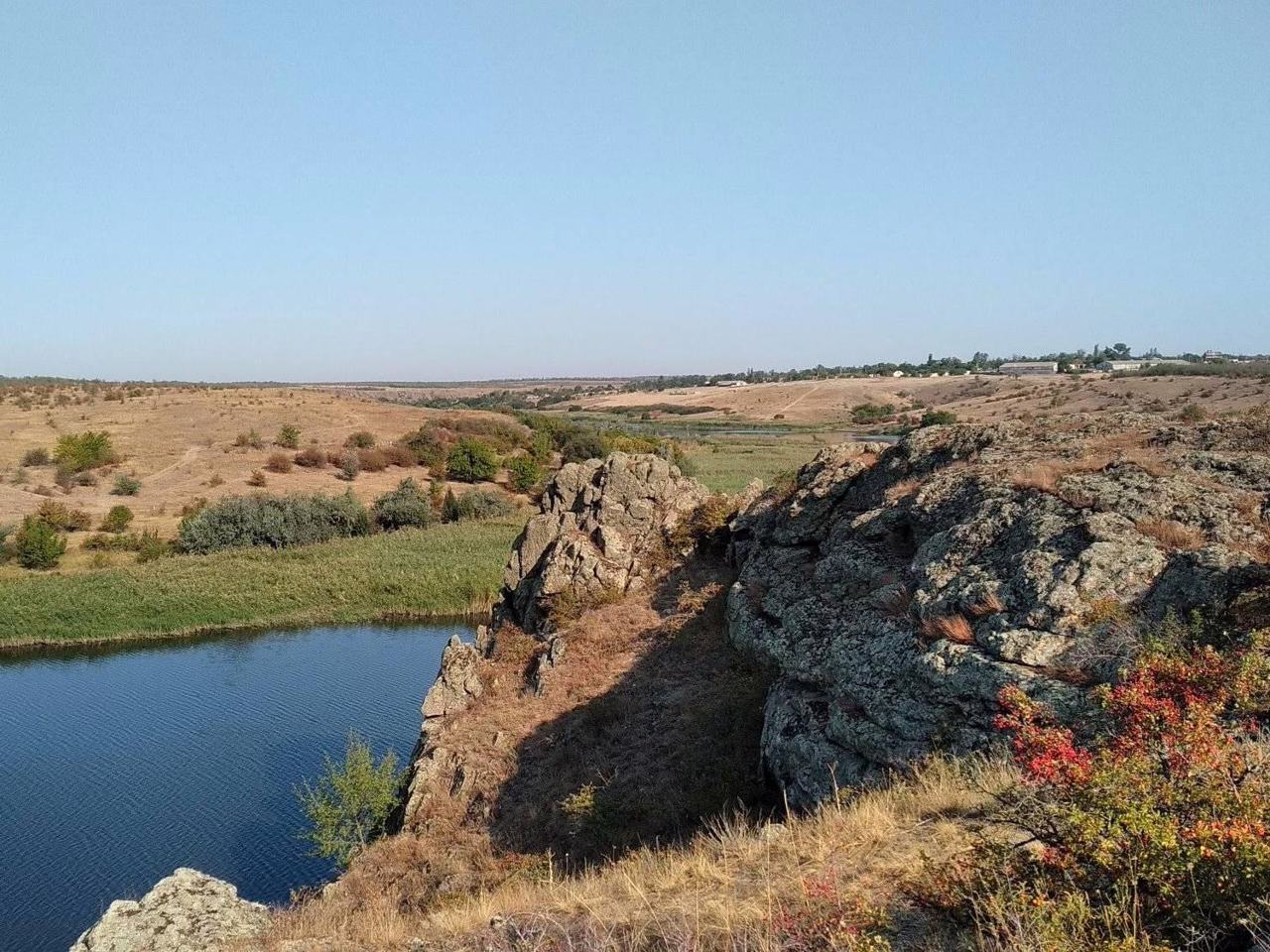
Bashtanka district (Bashtanskyi) is located in the eastern part of the Mykolaiv region, in the historical and ethnographic territories of the Black Sea coast and the Middle Dnipro. The Inhul and Inhulets rivers flow within the district.
The Priinhulsky Regional Landscape Park attracts with its granite outcrops "Shore of Stone Chimeras". The Stepok tract with ... Read more
Bashtanka district (Bashtanskyi) is located in the eastern part of the Mykolaiv region, in the historical and ethnographic territories of the Black Sea coast and the Middle Dnipro. The Inhul and Inhulets rivers flow within the district.
The Priinhulsky Regional Landscape Park attracts with its granite outcrops "Shore of Stone Chimeras". The Stepok tract with a virgin area of fescue-feathergrass steppe is a botanical natural monument of national importance.
Here are such historical and cultural monuments as the Pelaheivsky monastery and the Tropinin estate in Sofiyivka.
The administrative center of Bashtanskyi district is the city of Bashtanka. The area of the district is almost 6715 square kilometers. The population of the district reaches 140 thousand people.
The Bashtanka district includes 279 settlements, which are united into 12 territorial hromadas: Bashtanska, Novobuzka and Snihurivska city hromadas, Bereznehuvatska and Kazankivska settlement hromadas, Inhulska, Pryvilnenska, Volodymyrivska, Vilnozaporizka, Sofiivska, Horokhivska and Shyrokivska village territorial hromadas.
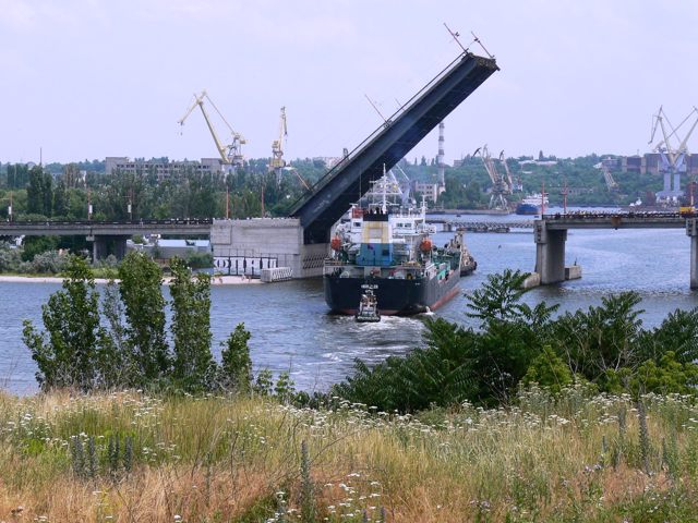
Mykolaiv district
Mykolaiv district (Mykolaivskyi) is located in the southern part of the Mykolaiv region, on the historical and ethnographic territory of the Black Sea coast. The rivers Southern Buh, Inhul and Berezan flow within the district.
The western border runs along the Tilihul estuary. Its natural marine landscapes are protected by the Tilihul Regional Landscape Park. In additi... Read more
Mykolaiv district (Mykolaivskyi) is located in the southern part of the Mykolaiv region, on the historical and ethnographic territory of the Black Sea coast. The rivers Southern Buh, Inhul and Berezan flow within the district.
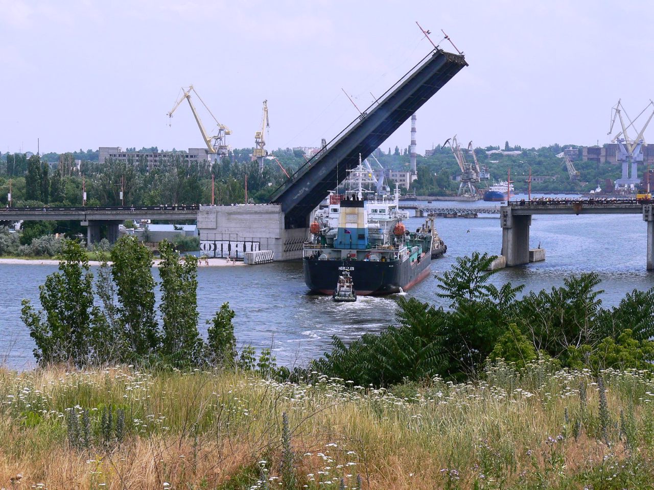
The western border runs along the Tilihul estuary. Its natural marine landscapes are protected by the Tilihul Regional Landscape Park. In addition to the Black Sea resorts, tourism is also actively developing in the protected area of the Kinburn Spit Peninsula, which is separated from the mainland by the Dnipro-Buh estuary. These areas are part of the National Natural Park "White Coast Svyatoslav".
The administrative center of the Mykolaivskyi district is the regional center, port and shipbuilding city of Mykolaiv. The architectural complexes of the Admiralty and the Old Fleet Barracks (now the Museum of Local Lore), the house of the Commander-in-Chief of the Black Sea Fleet (now the Museum of Shipbuilding), the Cathedral of Our Lady of Kasper, St. Joseph's Church, St. Nicholas Church, other churches and ancient buildings have been preserved. Mykolaiv Zoological Park is considered to be one of the best in Ukraine.
Also on the territory of the district there are such historical and cultural monuments as the National Historical and Archaeological Reserve "Olbia", the Mykolaiv Cathedral in Ochakiv, the island of Berezan.
The area of the district is 7434 square kilometers. The population of the district reaches 656 thousand people.
Mykolaiv district includes 238 settlements, which are united in 19 territorial hromadas: Mykolaivska, Ochakivska and Novoodeska city hromadas, Berezanska, Voskresenska, Pervomaiska and Olshanska settlement hromadas, Koblivska, Halytsynivska, Mishkovo-Pohorilivska, Shevchenkivska, Vesnianska, Nechaianska, Radsadivska, Stepivska, Kostiantynivska, Sukhoielanetska, Kutsurubska and Chornomorska village territorial hromadas.
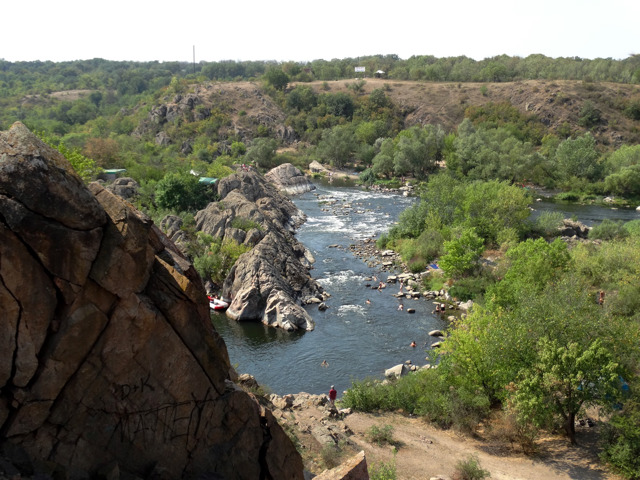
Pervomaisk district
Pervomaisk district (Pervomaiskyi) is located in the northern part of the Mykolaiv region, at the intersection of historical and ethnographic territories of the Black Sea coast, the Middle Dnipro and Podillya. The Southern Buh River flows within the district.
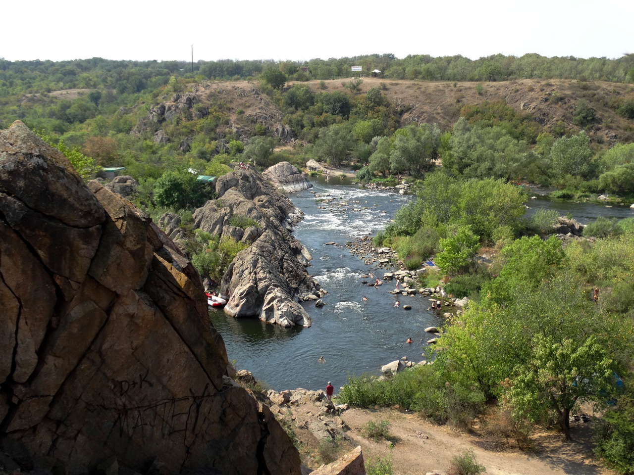
The Myhiia rapids on the Southern Buh are part of the Buzky Guard National Nature Park, whose administration is... Read more
Pervomaisk district (Pervomaiskyi) is located in the northern part of the Mykolaiv region, at the intersection of historical and ethnographic territories of the Black Sea coast, the Middle Dnipro and Podillya. The Southern Buh River flows within the district.
The Myhiia rapids on the Southern Buh are part of the Buzky Guard National Nature Park, whose administration is located in Myhiia. It is the largest rafting center in Ukraine.
The administrative center of Pervomaiskyi district is the city of Pervomaisk. The area of the district is 3797 square kilometers. The population of the district reaches 152 thousand people.
The Pervomaisky district includes 140 settlements, which are united into 8 territorial hromadas: Pervomaiska city hromada, Arbuzynska, Vradiivska and Kryvoozerska settlement hromadas, Blahodatnenska, Kamyanomostivska, Myhiivska and Syniukhynobridska village territorial hromadas.
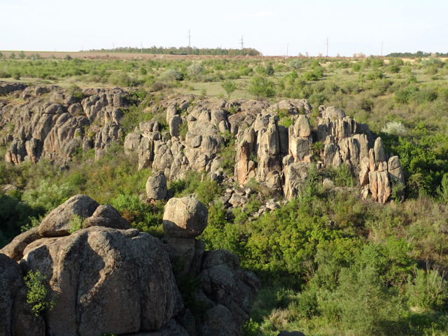
Voznesensk district
Voznesensk district (Voznesenskyi) is located in the central part of the Mykolaiv region, on historical and ethnographic territories of the Black Sea coast and the Middle Dnipro. The Southern Buh and Mertvovod rivers flow within the district.
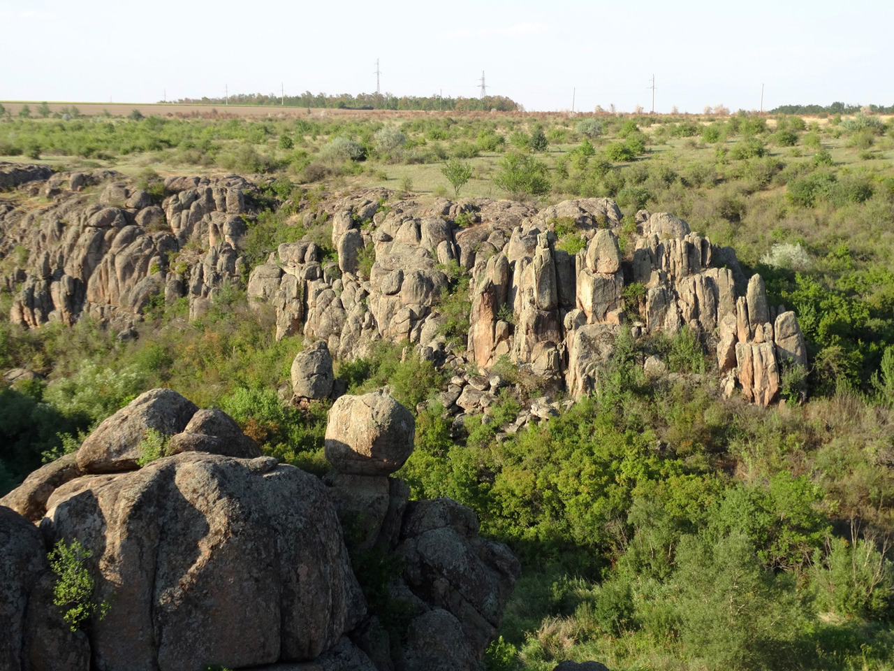
The rocky landscapes and natural complexes of their canyons are protected by the Buzky Guard National Nature Park. The Elanetsky... Read more
Voznesensk district (Voznesenskyi) is located in the central part of the Mykolaiv region, on historical and ethnographic territories of the Black Sea coast and the Middle Dnipro. The Southern Buh and Mertvovod rivers flow within the district.
The rocky landscapes and natural complexes of their canyons are protected by the Buzky Guard National Nature Park. The Elanetsky Steppe Nature Reserve was created to protect the largest area of the virgin steppe in the North-Western Black Sea Coast.
There are such historical and cultural monuments as the Royal Rotunda in Voznesensk, Skarzynski's estate with the Trikratsky Forest in Trikraty. Mostovsky Park is a monument of landscape art of national importance. Tourists are received on ostrich farms "Savannah" and "Kremenovsky ostrich".
The administrative center of Voznesenskyi district is the ancient city of Voznesensk. The area of the district is more than 6080 square kilometers. The population of the district reaches 182 thousand people.
The Voznesensky district includes 253 settlements, which are united in 13 territorial hromadas: Voznesenska and Pivdennoukrainska city hromadas, Bratska, Veselynivska, Oleksandrivska, Domanivska and Yelanetska settlement hromadas, Novomaryivska, Buzka, Doroshivska, Prybuzhanivska, Mostivska, Prybuzka village territorial hromadas.
