Functional temporarily unavailable
Cities and villages of Fastiv district
Online travel guide to the settlements of Fastiv district
General information about Fastiv district
Fastiv district (Fastivskyi) is located in the central part of Kyiv region, on the historical and ethnographic territory of the Middle Dnipro. The Irpin and Unava rivers flow within the district.
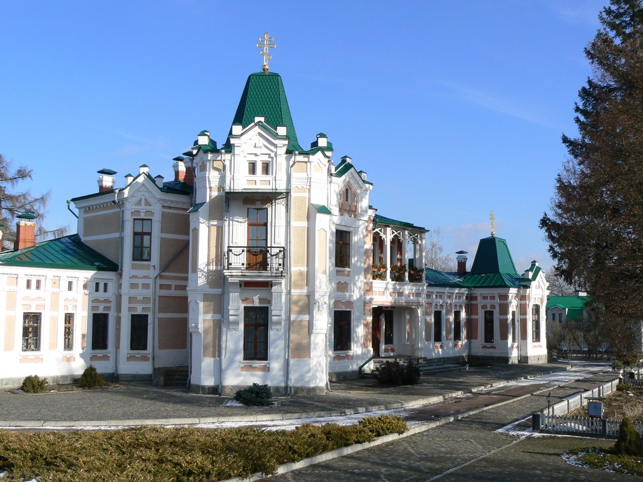
There are such historical and cultural monuments as the Fastiv Church of the Exaltation of the Holy Cross, the Wooden Church of the Intercession and the Museum-Carriage of the UPR and ZUNR in Fastiv, the Khoyetsky Estate (Rizopolozhensky Monastery) in Tomashivka, the manor houses-museums of Mykola Pymonenko and Kyrylo Stetsenko.
The administrative center of Fastivskyi district is the city of Fastiv. The area of the district is 2887 square kilometers. The population of the district reaches 180 thousand people.
The Fastiv district includes 109 settlements, which are united into ...
Fastiv district (Fastivskyi) is located in the central part of Kyiv region, on the historical and ethnographic territory of the Middle Dnipro. The Irpin and Unava rivers flow within the district.
There are such historical and cultural monuments as the Fastiv Church of the Exaltation of the Holy Cross, the Wooden Church of the Intercession and the Museum-Carriage of the UPR and ZUNR in Fastiv, the Khoyetsky Estate (Rizopolozhensky Monastery) in Tomashivka, the manor houses-museums of Mykola Pymonenko and Kyrylo Stetsenko.
The administrative center of Fastivskyi district is the city of Fastiv. The area of the district is 2887 square kilometers. The population of the district reaches 180 thousand people.
The Fastiv district includes 109 settlements, which are united into 9 territorial hromadas: Boyarska and Fastivska city hromadas, Kalynivska, Kozhanska, Hlevakhivska and Chabanivska settlement hromadas, Byshivska, Hatnenska and Tomashivska village territorial hromadas.
Фастівський район розташований у центральній частині Київської області, на історико-етнографічній території Середнього Подніпров'я. В межах району протікають річки Ірпінь та Унава.
Тут розташовані такі історико-культурні пам'ятки, як Фастівський костел Воздвиження Святого Хреста, Дерев'яна Покровська церква та Музей-вагон злуки УНР та ЗУНР у Фастові, Маєток Хоєцьких (Ризоположенський монастир) у Томашівці, садиби-музеї Миколи Пимоненка та Кирила Стеценка.
Адміністративним центром Фастівського району є місто Фастів. Площа території району становить 2887 квадратних кілометрів. Чисельність населення району сягає 180 тисяч осіб.
До складу Фастівського району входять 109 населених пунктів, які об'єднані у 9 територіальних громад: Боярська, Фастівська міські, ...
Фастівський район розташований у центральній частині Київської області, на історико-етнографічній території Середнього Подніпров'я. В межах району протікають річки Ірпінь та Унава.
Тут розташовані такі історико-культурні пам'ятки, як Фастівський костел Воздвиження Святого Хреста, Дерев'яна Покровська церква та Музей-вагон злуки УНР та ЗУНР у Фастові, Маєток Хоєцьких (Ризоположенський монастир) у Томашівці, садиби-музеї Миколи Пимоненка та Кирила Стеценка.
Адміністративним центром Фастівського району є місто Фастів. Площа території району становить 2887 квадратних кілометрів. Чисельність населення району сягає 180 тисяч осіб.
До складу Фастівського району входять 109 населених пунктів, які об'єднані у 9 територіальних громад: Боярська, Фастівська міські, Калинівська, Кожанська, Глевахівська, Чабанівська селищні, Бишівська, Гатненська, Томашівська сільські територіальні громади.


