Functional temporarily unavailable
Cities and villages of Brovary district
Online travel guide to the settlements of Brovary district
General information about Brovary district
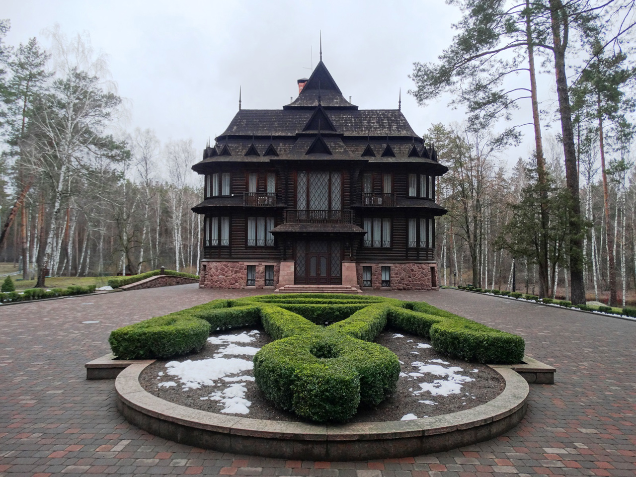
Brovary district (Brovarskyi) is located in the eastern part of Kyiv region, in the historical and ethnographic territory of the Middle Dnipro. The rivers Desna, Trubizh and Supiy flow within the district. Here is the National Nature Park "Zalissya" with the eponymous state residence on the territory, Usivsky hydrological reserve of national importance.
The administrative center of Brovarskyi district is the city of Brovary. The area of the district is more than 2883 square kilometers. The population of the district exceeds 240 thousand people.
The Brovary district consists of 125 settlements, which are united into 8 territorial hromadas: Berezanska and Brovarska city hromadas, Baryshivska, Velykodymerska, Zghurivska, Kalynivska and Kalytianska settlement hromadas, ...
Brovary district (Brovarskyi) is located in the eastern part of Kyiv region, in the historical and ethnographic territory of the Middle Dnipro. The rivers Desna, Trubizh and Supiy flow within the district. Here is the National Nature Park "Zalissya" with the eponymous state residence on the territory, Usivsky hydrological reserve of national importance.
The administrative center of Brovarskyi district is the city of Brovary. The area of the district is more than 2883 square kilometers. The population of the district exceeds 240 thousand people.
The Brovary district consists of 125 settlements, which are united into 8 territorial hromadas: Berezanska and Brovarska city hromadas, Baryshivska, Velykodymerska, Zghurivska, Kalynivska and Kalytianska settlement hromadas, Zazymska village territorial hromadas.
Броварський район розташований у східній частині Київської області, на історико-етнографічній території Середнього Подніпров'я. В межах району протікають річки Десна, Трубіж і Супій.
Тут розташований Національний природний парк "Залісся" з однойменною державною резиденцією на території, Усівський гідрологічний заказник загальнодержавного значення.
Адміністративним центром Броварського району є місто Бровари. Площа території району становить понад 2883 квадратних кілометрів. Чисельність населення району перевищує 240 тисяч осіб.
До складу Броварського району входять 125 населених пунктів, які об'єднані у 8 територіальних громад: Березанська, Броварська міські, Баришівська, Великодимерська, Згурівська, Калинівська, Калитянська селищні, Зазимська сільськ ...
Броварський район розташований у східній частині Київської області, на історико-етнографічній території Середнього Подніпров'я. В межах району протікають річки Десна, Трубіж і Супій.
Тут розташований Національний природний парк "Залісся" з однойменною державною резиденцією на території, Усівський гідрологічний заказник загальнодержавного значення.
Адміністративним центром Броварського району є місто Бровари. Площа території району становить понад 2883 квадратних кілометрів. Чисельність населення району перевищує 240 тисяч осіб.
До складу Броварського району входять 125 населених пунктів, які об'єднані у 8 територіальних громад: Березанська, Броварська міські, Баришівська, Великодимерська, Згурівська, Калинівська, Калитянська селищні, Зазимська сільська територіальні громади.


